Browse / France / Île-de-France / Valenton
Valenton
Île-de-Francetown

Valenton
Total population
14,482
Demographic figures from INSEE. Overview below cites Wikipedia and may reference a different year.
City facts
Facts from Wikidata (CC0).
Overview
Valenton is a commune in the southeastern suburbs of Paris, France. It is located 15.1 km (9.4 mi) from the center of Paris. It extends over 531 hectares of which 84 hectares are green spaces. The most important public green space is the Plage Bleue Park where different events are organized every year. Among them, we have the Festival de l’Oh focused on environmental issues dealing with aquatic resources. Valenton is surrounded by the towns of Choisy-le-Roi, Créteil, Crosne, Limeil-Brévannes, Villeneuve-Saint-Georges and Yerres. The town can be reached through the motorway A86 and the main road RN6. It is connected to the suburban rail network with the RER line D or RER line A at Boissy-Saint-Léger.
Read more on WikipediaHistory & geography
History
Valenton was born in the 6th century. It was a dependency of the Abbey of Saint-Germain-des-Prés. The first inhabitants were mainly farmers specialized in viticulture. In 1726, it was still a village and had 250 inhabitants. Two centuries later, the population grew to about 1,000 inhabitants. The main activities became livestock farming and market gardening. The town extended in 1936 with the construction of two new residential areas (Les Vignes and Val Pompadour). At this time, the population was only 2,448. The town which was a strategic point during the Second World War was heavily bombarded by the Anglo-American aviation, which caused many casualties among the civil population. The aim for this heavy pounding induced by this air raid was to destroy the strategic marshalling yard of Villeneuve-Saint-Georges close to the Val Pompadour residential area. After the war, the town grew considerably. By 1962, the population reached 7,713 and in 1968 it was 10,539 inhabitants.
Excerpted from the corresponding Wikipedia article (CC BY-SA).
Geography
Coordinates & boundaries from the US Census TIGER/Line shapefiles.
Climate
Air quality
Walkability
Amenities nearby
Wildlife & biodiversity
Earthquake history
Photos
Sights & places nearby
Notable people from here


People born within ~10 km, from Wikidata (CC0). Click any name for their Wikipedia article.
Nearby places in Île-de-France
- Le Val Pompadour1.8 mi away
- Ablon-sur-Seine2.6 mi away · pop. 5,946
- Marolles-en-Brie3.9 mi away · pop. 4,689
- Noiseau4.1 mi away · pop. 4,610
- Chennevières-sur-Marne4.5 mi away · pop. 18,367
- Ormesson-sur-Marne4.6 mi away · pop. 10,540
- Saint-Maurice5.2 mi away · pop. 14,603
- Paray-Vieille-Poste5.3 mi away · pop. 7,868
- La Queue-en-Brie5.7 mi away · pop. 12,081
- Soisy-sur-Seine6.6 mi away · pop. 7,322
- Lésigny6.6 mi away · pop. 7,102
- Fresnes6.7 mi away · pop. 28,780
Geography & sun
Elevation, sunrise/sunset and daylight from Open-Meteo. Solar climatology from NASA POWER.
Nearby airports
Public attention
Pageview totals from the Wikimedia Pageviews API.
Books about this place
Recent natural events nearby
Ground air-quality sensors
Recently spotted species
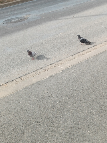
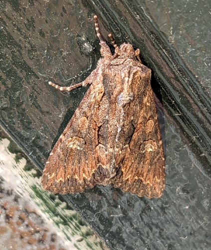
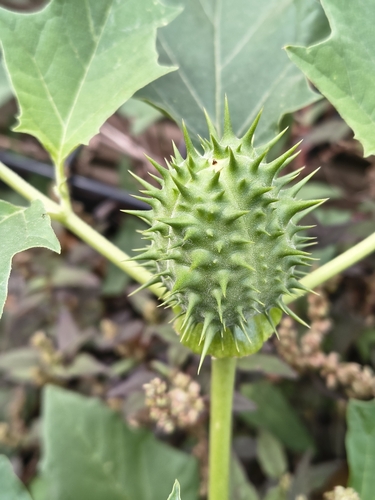
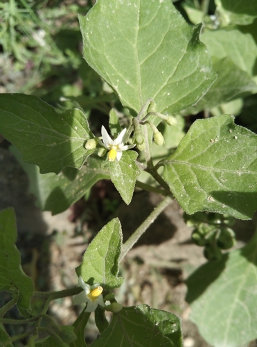
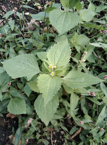
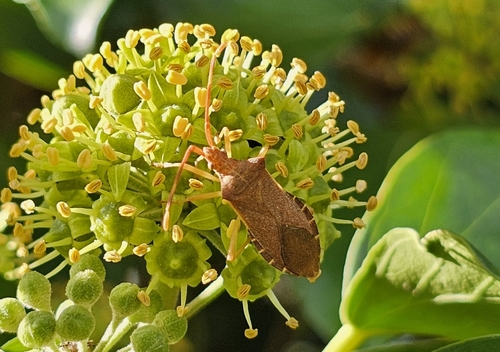
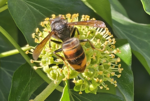
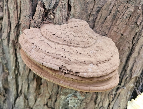
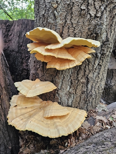
Research-grade observations from iNaturalist (within ~15 mi).
Events
Gallery
Official Identifiers
INSEE — French National Institute of Statistics
- INSEE code
- 94074
- Department
- 94
- Region
- 11
- Population (Wikidata)
- 14,406
geo.api.gouv.fr
Sources
- • Wikipedia
- • Wikidata
- • iNaturalist
- • Open-Meteo / sunrise-sunset.org
- • Wikipedia Pageviews API
- • Wikidata SPARQL (CC0) — population, area, elevation, inception, head of government, Commons image
- • INSEE — French national statistics, via geo.api.gouv.fr (official commune code, population, surface, department, region)
- • INSEE — French National Institute of Statistics — geo.api.gouv.fr