Browse / France / Occitanie / Vauvert
Vauvert
Occitanietown

Vauvert
Total population
11,774
Demographic figures from INSEE. Overview below cites Wikipedia and may reference a different year.
City facts
Sister cities
Facts from Wikidata (CC0).
Overview
Vauvert is a commune in the far south of the Gard department in southern France. It was known as Posquières in the Middle Ages. The commune comprises the town of Vauvert and the villages of Gallician and Montcalm. Over a third of the population work in industry, which is largely the food industry, especially wine production. The original settlement was called Posquières and was first mentioned in a document of 810. Since then the town has increased in importance and has had a rich history. At its heyday in the mid-nineteenth century it had a population of 6,000 but this decreased by a third after disease struck the grape crop, the mainstay of the economy of the area. Today, the population has grown again to over 11,000.
Read more on WikipediaHistory & geography
History
Vauvert is first mentioned as the fief of Posquières (meaning "place of wells") when it was donated by Raymond Raphiel to Saint-Thibéry Abbey in 810. In the Middle Ages, a little village grew up around the frequently besieged castle on top of the Motte-Foussat, now known as Castellas. The Christians and the Jews created two separate communities in the village. In the 12th century, the rabbinical school was an important centre of Jewish teaching, recognized across Europe thanks to the contributions of Abraham ben David and Isaac the Blind. From the 13th century, the Christian sanctuary Notre-Dame du Val-Vert, just outside the village, gained increasing importance when it was visited by Louis IX, Charles IX, Francis I and Pope Clement V. As a result, in the 14th century the name of the village was changed to Vauvert. In 1540, the sanctuary was destroyed by the Protestants. After the revocation of the Edict of Nantes, the Protestant church, Temple Vielh, was destroyed in 1685 and the Catholic church was rebuilt and consecrated in 1689. From the Middle Ages, the inhabitants of Posquières-Vauvert enjoyed special rights to hunting, fishing, grazing and agriculture which had been granted by the barons. They are all listed in a document from 1299. Over the centuries, the hills known as "Costière" were increasingly acquired by the villagers from the barons, especially after the French Revolution. There they developed vineyards and wineries which became the major source of income during the Second Empire in the mid-18th century, resulting in an increase in population to some 6,000. The prosperity was however short-lived as the vines suffered when phylloxera hit the region at the beginning of the 19th century. The population was reduced to around 4,000 and did not start to grow…
Geography
Vauvert occupies about and is one of the largest municipalities in the Camargue. It extends for about in a north–south direction and in an east–west direction. The northern half is generally dry while the southern half is marshy. Vauvert is typical of the historic towns in the area. To the north it is bordered by vineyards, pine forests and orchards, and to the south by further vineyards, rice fields, ponds and marshes. The town itself consists of a 17th-century Catholic church, a belfry, and narrow streets with houses mainly from the 18th and 19th centuries. The economy of the area is based on the production of wine with several vineyards in the vicinity, and the town also has an industrial zone. A new enterprise which has opened in 2013 is a community garage supported by the social services. It is specially designed to help those receiving social support who are unable to pay the high rates normally charged for repairs.
Excerpted from the corresponding Wikipedia article (CC BY-SA).
Geography
Coordinates & boundaries from the US Census TIGER/Line shapefiles.
Climate
Air quality
Walkability
Amenities nearby
Wildlife & biodiversity
Earthquake history
Photos
Sights & places nearby
Notable people from here
People born within ~10 km, from Wikidata (CC0). Click any name for their Wikipedia article.
Nearby places in Occitanie
- Codognan3.7 mi away · pop. 2,458
- Mus5 mi away · pop. 1,542
- Boissières6.1 mi away · pop. 590
- Saturargues8.4 mi away · pop. 1,018
- Caveirac9.2 mi away · pop. 4,351
- Lunel-Viel9.3 mi away · pop. 4,488
- Junas9.4 mi away · pop. 1,178
- Aigues-Mortes9.7 mi away · pop. 8,685
- Valergues10.8 mi away · pop. 2,107
- Sommières11.2 mi away · pop. 5,040
- Mudaison12.1 mi away · pop. 2,894
- Le Grau-du-Roi12.8 mi away · pop. 8,438
Geography & sun
Elevation, sunrise/sunset and daylight from Open-Meteo. Solar climatology from NASA POWER.
Nearby airports
Public attention
Pageview totals from the Wikimedia Pageviews API.
Books about this place
Recent natural events nearby
Ground air-quality sensors
Recently spotted species
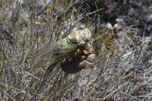
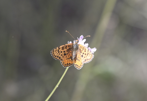
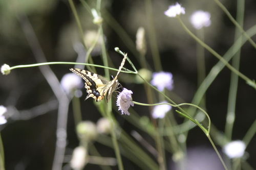
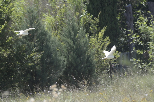
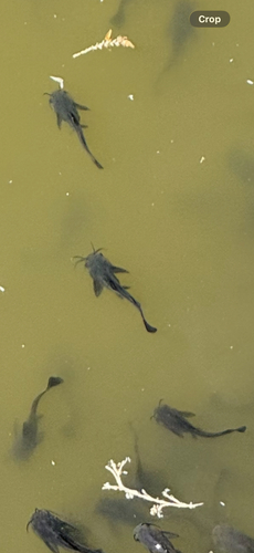
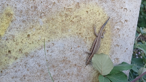
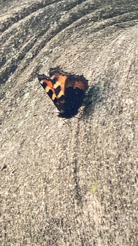
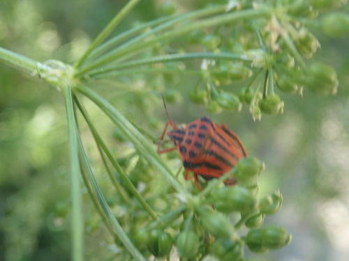
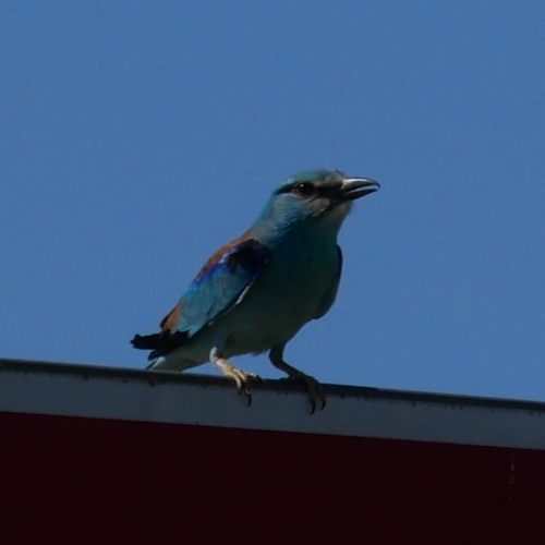
Research-grade observations from iNaturalist (within ~15 mi).
Events
Gallery
Geotagged photos within ~6 miles of Vauvert, from Wikimedia Commons contributors.
 0.1 mi
 0.1 mi
 0.2 mi
 0.2 mi
_(8338525892).jpg) 0.4 mi
0.4 mi_(8337466079).jpg) 0.4 mi
0.4 mi 0.9 mi
 1.2 mi
 1.3 mi
 1.3 mi
 1.3 mi
 1.3 mi
 1.3 mi
 1.3 mi
 1.3 mi
 1.3 mi
 1.6 mi
 1.8 mi
 1.8 mi
 1.8 mi
 1.8 mi
 1.8 mi
_-IMG_8955.jpg) 2.2 mi
2.2 mi_mai_20_-IMG-8954_-.jpg) 2.2 mi
2.2 miPhotos via Wikimedia Commons — see each image page for license & attribution.
Official Identifiers
INSEE — French National Institute of Statistics
- INSEE code
- 30341
- Department
- 30
- Region
- 76
- Population (Wikidata)
- 11,671
geo.api.gouv.fr
Sources
- • Wikipedia
- • Wikimedia Commons
- • Wikidata
- • iNaturalist
- • Open-Meteo / sunrise-sunset.org
- • Wikipedia Pageviews API
- • Wikidata SPARQL (CC0) — population, area, elevation, inception, head of government, Commons image
- • INSEE — French national statistics, via geo.api.gouv.fr (official commune code, population, surface, department, region)
- • INSEE — French National Institute of Statistics — geo.api.gouv.fr