Browse / France / Grand Est / Verdun
Verdun
Grand Esttown

Verdun
Total population
16,689
Demographic figures from INSEE. Overview below cites Wikipedia and may reference a different year.
City facts
Facts from Wikidata (CC0).
Overview
Verdun is a city in the Meuse department in Grand Est, northeastern France. It is an arrondissement of the department.
Read more on WikipediaHistory & geography
History
Verdun (Verodunum, a latinisation of a place name meaning "strong fort" in Gaulish) was founded by the Gauls. It has been the seat of the bishop of Verdun since the 4th century, with interruptions. In 486, following the decisive Frankish victory in the Franco-Roman War, the city (amongst several other nearby cities) refused to yield to the Franks and was thus besieged by King Clovis I. The 843 Treaty of Verdun divided Charlemagne's empire among his three surviving grandsons. Around this time a city called Verdun was the centre of the thriving European trade in young boys, who were sold to the Islamic emirates of Iberia, where they were enslaved as eunuchs. The Italian ambassador Liutprand of Cremona, as one example in the 10th century, presented a gift of four eunuchs to Emperor Constantine VII. The identity of the "Verdun" mentioned in sources is disputed because there are many cities called Verdun in Europe (such as Verdun-sur-Garonne in Occitania and Verdun-sur-le-Doubs). While many still identify it as Verdun on the Meuse, some argue that Verdun-sur-le-Doubs is a more feasible identification. It is also possible that Liutprand was referring to Verona. This consisted of a mutually supporting ring of 22 polygonal forts up to from the city and an inner ring of 6 forts. Despite the extensive fortifications, in the Battle of Verdun in 1792 the fortress was captured by the Prussians during the War of the First Coalition. The battle was fought on 20 August 1792 between French Revolutionary forces and the Prussian army. The Prussian victory opened the path to Paris for the invading armies. However the Prussians were unable to press their success and abandoned Verdun following the Battle of Valmy. Verdun was the site of a major battle, the longest-lasting of the First…
Geography
Verdun is situated on both banks of the river Meuse, in the northern part of the Meuse department. It is connected by rail to Jarny. The A4 autoroute Paris–Metz–Strasbourg passes south of the town. The commune is located between Paris (225 km) and Strasbourg (184 km). In Lorraine, it is 58 km from Metz (Moselle), 78 km from Nancy (Meurthe-et-Moselle) and 134 km from Épinal (Vosges). It is 47 km north of Bar-le-Duc, the prefecture of the department, and Commercy, the other sub-prefecture.
Excerpted from the corresponding Wikipedia article (CC BY-SA).
Geography
Coordinates & boundaries from the US Census TIGER/Line shapefiles.
Climate
Air quality
Walkability
Amenities nearby
Wildlife & biodiversity
Earthquake history
Photos
Sights & places nearby
Notable people from here


People born within ~10 km, from Wikidata (CC0). Click any name for their Wikipedia article.
Nearby places in Grand Est
- Manheulles10.1 mi away · pop. 148
- Amel-sur-l'Étang13.9 mi away · pop. 147
- Villers-sous-Pareid15.9 mi away · pop. 76
- Moulotte16.4 mi away · pop. 89
- Affléville18.6 mi away · pop. 179
- Sponville21 mi away · pop. 111
- Ozerailles21.1 mi away · pop. 149
- Conflans-en-Jarnisy21.2 mi away · pop. 2,366
- Ville-sur-Yron21.8 mi away · pop. 298
- Longuyon22.1 mi away · pop. 5,190
- Labry22.5 mi away · pop. 1,575
- Sainte-Menehould22.7 mi away · pop. 4,166
Geography & sun
Elevation, sunrise/sunset and daylight from Open-Meteo. Solar climatology from NASA POWER.
Nearby airports
Public attention
Pageview totals from the Wikimedia Pageviews API.
Books about Verdun


Search results from Open Library.
Recent natural events nearby
Ground air-quality sensors
Recently spotted species
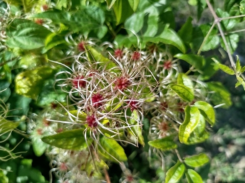
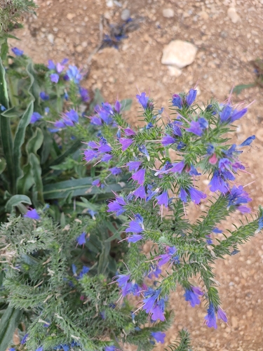
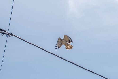
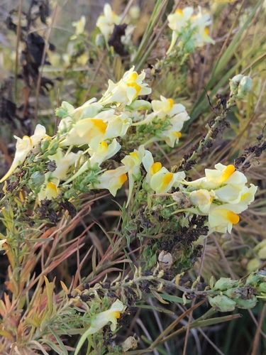
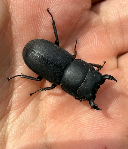
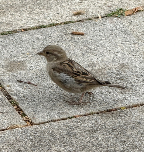
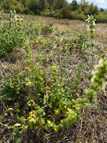
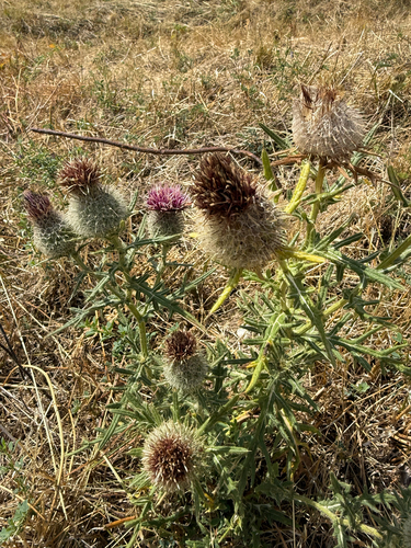
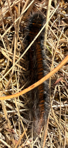
Research-grade observations from iNaturalist (within ~15 mi).
Events
Gallery
Official Identifiers
INSEE — French National Institute of Statistics
- INSEE code
- 55545
- Department
- 55
- Region
- 44
- Population (Wikidata)
- 16,890
geo.api.gouv.fr
Sources
- • Wikipedia
- • Wikidata
- • iNaturalist
- • Open-Meteo / sunrise-sunset.org
- • Wikipedia Pageviews API
- • Open Library
- • Wikidata SPARQL (CC0) — population, area, elevation, inception, head of government, Commons image
- • INSEE — French national statistics, via geo.api.gouv.fr (official commune code, population, surface, department, region)
- • INSEE — French National Institute of Statistics — geo.api.gouv.fr