Browse / France / Grand Est / Wittelsheim
Wittelsheim
Grand Esttown

Featured view
Wittelsheim
Total population
10,334
Elevation239 m
Land area23.63 km²
Coordinates47.81°, 7.24°
Demographic figures from INSEE. Overview below cites Wikipedia and may reference a different year.
Loading additional data from public sources…0 / 11
CensusWikipediaWeatherPlacesPeopleEnvironmentHealth & SchoolsRelatedGeography & CultureLive MonitoringEvents & Gallery
0% completeCity facts
Facts from Wikidata (CC0).
Overview
Wittelsheim, is a commune in the Haut-Rhin department in Grand Est in north-eastern France.
Read more on WikipediaHistory & geography
Geography
Latitude
47.8091
Longitude
7.2402
Water area
—
Coordinates & boundaries from the US Census TIGER/Line shapefiles.
Climate
Air quality
Walkability
Amenities nearby
Wildlife & biodiversity
Earthquake history
Photos
Sights & places nearby
Notable people from here

Cléopâtre Darleux
French handball goalkeeper

Amélie Zurcher
French industrialist (1858–1947)

Henriette Louise de Waldner de Freundstein
French noble (1754-1803)
J
Jean-Jérôme Adam
French Roman-Catholic archbishop (1904-1981)
C
Carl Maier
Swiss Entrepreneur and Politician
J
Jean-Jacques Scherrer
painter (1855-1916)

Henri Haeffely
politician (1816-1877)

Jean-Julien Weber
French Roman-Catholic priest

Alfred Giess
French painter (1901-1973)
R
René Bohn
chemist (1862-1922)

Theodor Waldner von Freundstein
A
Armand Walter
French artistic gymnast (1908-1995)
E
Eugène Lacaque
J
Jacques Abtey

Jean-Désiré Ringel d'Illzach
French artist (1847–1916)
J
Joseph Huber
Olympic gymnast (1893–1976)
People born within ~10 km, from Wikidata (CC0). Click any name for their Wikipedia article.
Nearby places in Grand Est
- Uffholtz2.9 mi away · pop. 1,649
- Vieux-Thann5.5 mi away · pop. 2,855
- Ruelisheim5.6 mi away · pop. 2,453
- Jungholtz5.6 mi away · pop. 910
- Heimsbrunn5.7 mi away · pop. 1,336
- Burnhaupt-le-Haut6.9 mi away · pop. 1,731
- Roderen7.3 mi away · pop. 909
- Merxheim7.5 mi away · pop. 1,285
- Bergholtz7.5 mi away · pop. 1,108
- Rimbach-près-Guebwiller7.7 mi away · pop. 203
- Zillisheim8.2 mi away · pop. 2,514
- Bergholtz-Zell8.4 mi away · pop. 401
Geography & sun
Avg solar (kWh/m²/day)
3.43
Annual solar (kWh/m²)
1,254
Elevation, sunrise/sunset and daylight from Open-Meteo. Solar climatology from NASA POWER.
Nearby airports
Public attention
Wikipedia views (last 30 days)
112
Avg daily Wikipedia views
4
Attention level
Obscure
Pageview totals from the Wikimedia Pageviews API.
Books about this place
Recent natural events nearby
Ground air-quality sensors
Recently spotted species
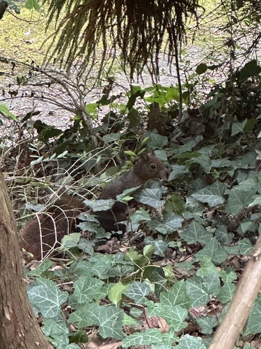
Eurasian Red Squirrel
Sciurus vulgaris
Seen 2026-09-16
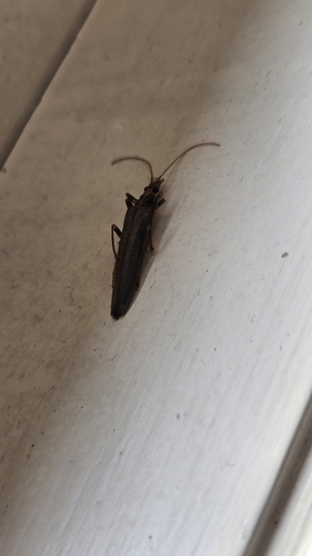
Oedemera femoralis
Oedemera femoralis
Seen 2026-09-13
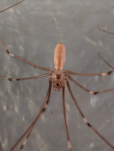
Long-bodied Cellar Spider
Pholcus phalangioides
Seen 2026-09-13
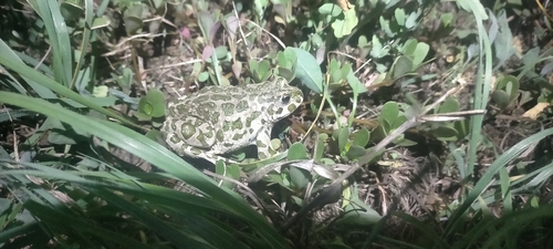
Green Toad
Bufotes viridis
Seen 2026-09-12
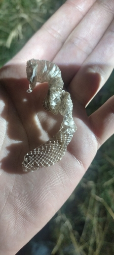
Smooth Snake
Coronella austriaca
Seen 2026-09-12
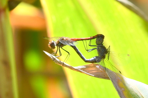
Common Darter
Sympetrum striolatum
Seen 2026-09-12
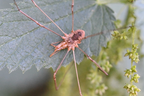
European Harvestman
Phalangium opilio
Seen 2026-09-12
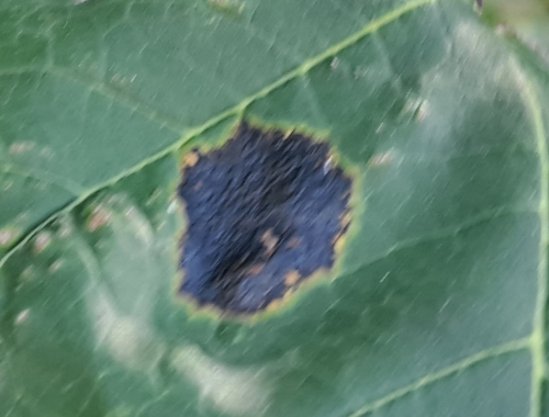
Black Tar Spot
Rhytisma acerinum
Seen 2026-09-12
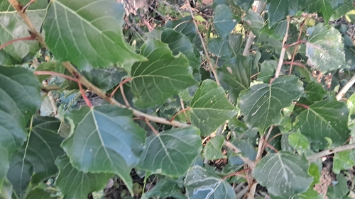
Black Poplar
Populus nigra
Seen 2026-09-12
Research-grade observations from iNaturalist (within ~15 mi).
Events
Gallery
Official Identifiers
INSEE — French National Institute of Statistics
- INSEE code
- 68375
- Department
- 68
- Region
- 44
- Population (Wikidata)
- 10,645
geo.api.gouv.fr
Sources
- • Wikipedia
- • Wikidata
- • iNaturalist
- • Open-Meteo / sunrise-sunset.org
- • Wikipedia Pageviews API
- • Wikidata SPARQL (CC0) — population, area, elevation, inception, head of government, Commons image
- • INSEE — French national statistics, via geo.api.gouv.fr (official commune code, population, surface, department, region)
- • INSEE — French National Institute of Statistics — geo.api.gouv.fr