Browse / United States / Georgia / Albany
Albany
Georgiacity

Albany
Total population
67,418
Median home value
$136,600
Bachelor's+
Median income
$47,676
Founded
1836
Demographic figures from US Census Bureau · ACS 5-year estimates. Overview below cites Wikipedia and may reference a different year.
City facts
Facts from Wikidata (CC0).
Overview
Albany is a city in the U.S. state of Georgia. Located on the Flint River, it is the county seat of Dougherty County, and is the sole incorporated city in that county. Located in Southwest Georgia, it is the principal city of the Albany metropolitan area. The city's population was 68,089 in 2020.
Read more on WikipediaHistory & geography
History
Albany is located in a region which was long inhabited by the Creek Indians, who called it Thronateeska after their word for "flint", the valuable mineral found in beds near the Flint River. They used it for making arrowheads and other tools. In 1830, U.S. Congress passed the Indian Removal Act, and the United States made treaties to extinguish Creek and other Native American land claims in the Southeast. The U.S. Army forcibly removed most of the native peoples to Indian Territory, lands west of the Mississippi River. European-American settlement began with Nelson Tift of Groton, Connecticut, who took land along the Flint River in October 1836 after Indian removal. Tift and his colleagues named the new town Albany after the capital of New York; noting that New York's Albany was a commercial center located at the headwaters of the Hudson River, they hoped that their town near the headwaters of the Flint would prove to be just as successful. It proved to be nowhere near as prosperous. Alexander Shotwell laid out the town in 1836, and it was incorporated as a city by an act of the General Assembly of Georgia on December 27, 1838. Tift was the city's leading entrepreneur for decades. An ardent booster, he promoted education, business, and railroad construction. During the Civil War he provided naval supplies and helped build two ships. He opposed Radical Reconstruction inside the state and in Congress, and was scornful of the Yankee carpetbaggers who came in. Historian John Fair concludes that Tift became "more Southern than many natives." This area was developed for cotton cultivation by planters, who used numerous enslaved African Americans to clear lands and process the cotton. As a result of the planters' acquisition of slave workers, by 1840 Dougherty County's…
Geography
Albany is located at (31.582273, −84.165557), within Southwest Georgia. It lies in a belt of historically rich farmland in the East Gulf coastal plain, on the banks of the Flint River. The city is southeast of Columbus, south of Atlanta, south of Americus, southwest of Macon, west of Tifton, northwest of Valdosta, north of Tallahassee, Florida, east of Eufaula, Alabama, and east of Dothan, Alabama. , the city of Albany had been a member of the Arbor Day Foundation's Tree City USA Program for 23 years. Tree-lined streets are common, with large, mature oaks and other native trees. The city has a tree ordinance, and a certified arborist on staff. The climate in this area is characterized by hot, humid summers and generally mild to cool winters. According to the Köppen Climate Classification system, Albany has a humid subtropical climate, abbreviated "Cfa" on climate maps. Albany receives well above the national average amount of precipitation. Much of this comes in the form of heavy showers and thunderstorms. According to "Cities Ranked and Rated" (Bert Sperling and Peter Sander), Albany reports thunder on 86 days per year. This is more than twice the national average.
Excerpted from the corresponding Wikipedia article (CC BY-SA).
Demographics & economy
Race & ethnicity
Source: US Census Bureau — American Community Survey, 5-year estimates.
Geography
Coordinates & boundaries from the US Census TIGER/Line shapefiles.
Climate
Current forecast
Forecast for Albany, GA from NOAA NWS API.
Air quality
Industrial & pollution facilities
Natural hazard risk
Health (adults)
Age-adjusted prevalence estimates from CDC PLACES (latest release).
Walkability
Amenities nearby
Wildlife & biodiversity
Schools
Earthquake history
Photos
Sights & places nearby
Notable people from here


People born within ~10 km, from Wikidata (CC0). Click any name for their Wikipedia article.
Nearby places in Georgia
Geography & sun
Elevation, sunrise/sunset and daylight from Open-Meteo. Solar climatology from NASA POWER.
Nearby airports
Public attention
Pageview totals from the Wikimedia Pageviews API.
Books about Albany

Search results from Open Library.
Recent natural events nearby
- Wildfire Mitchell, Ware, GeorgiaWildfires · 2026-08-24 · 132 mi
- Prescribed Fire CON BSE13 RX, Covington, AlabamaWildfires · 2026-10-07 · 142 mi
- Wildfire Main Trail, Chatham, GeorgiaWildfires · 2026-08-14 · 188 mi
- Wildfire RAY COAKER, Washington, AlabamaWildfires · 2026-09-09 · 245 mi
Wildfires, storms and other events from NASA EONET (last 12 months, within 250 mi).
Ground air-quality sensors
Recently spotted species
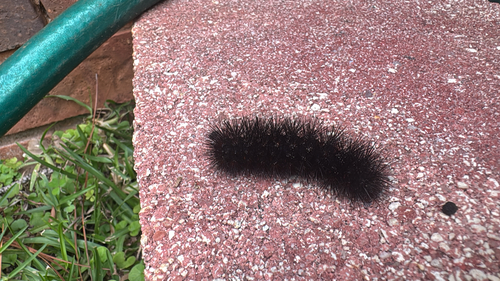
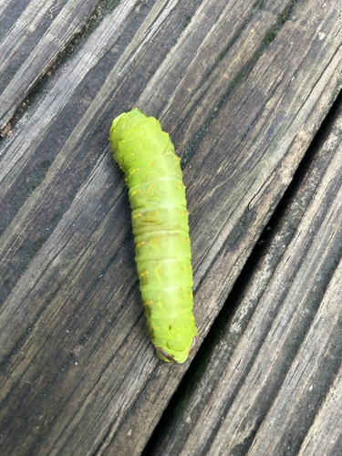
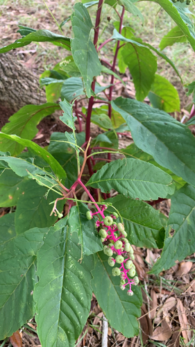
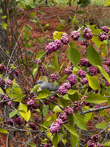
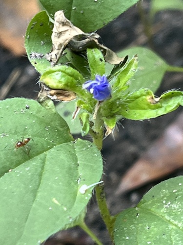
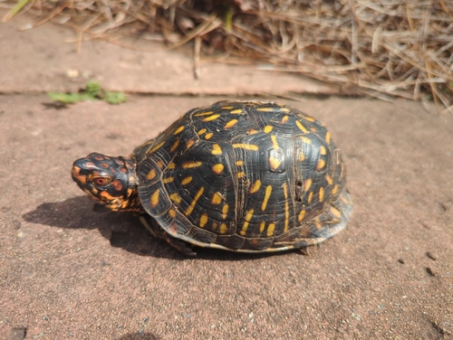
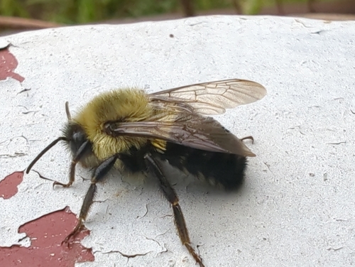
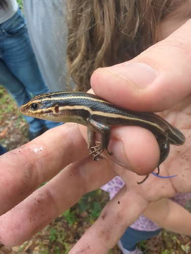
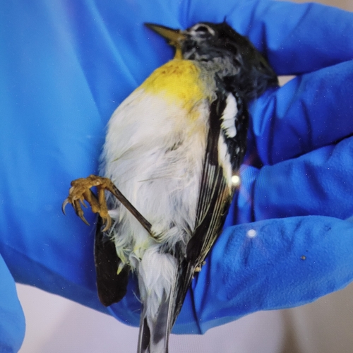
Research-grade observations from iNaturalist (within ~15 mi).
Nearest stream gauge
Live readings from USGS NWIS · measured 2026-10-16 14:30 UTC.
Events
Gallery
Sources
- • Wikipedia
- • US Census Bureau (ACS 5-year estimates)
- • NOAA National Weather Service
- • Wikidata
- • USGS NWIS (water data)
- • iNaturalist
- • CDC PLACES
- • Open-Meteo / sunrise-sunset.org
- • Wikipedia Pageviews API
- • Open Library
- • NASA EONET