Browse / United States / Georgia / Chamblee
Chamblee
Georgiacity

Chamblee
Total population
30,895
Median home value
$432,800
Bachelor's+
Median income
$84,452
Demographic figures from US Census Bureau · ACS 5-year estimates. Overview below cites Wikipedia and may reference a different year.
City facts
Facts from Wikidata (CC0).
Overview
Chamblee is a city in northern DeKalb County, Georgia, United States, northeast of Atlanta. The population was 30,164 as of the 2020 census.
Read more on WikipediaHistory & geography
History
The area that would later become Chamblee was originally dairy farms. During the late nineteenth century, an intersection of two railroads was constructed in Chamblee; one carried passengers from Atlanta to Charlotte, North Carolina, while the other ferried workers and goods back and forth from a factory in Roswell to Atlanta. A settlement known as Roswell Junction emerged at the intersection, and the United States Postal Service decided to establish a post office there. However, feeling the name of the settlement was too similar to nearby Roswell, they randomly selected Chamblee from a list of petitioners for the new post office name. Chamblee was incorporated in 1907. During World War I and World War II, Chamblee served as the site of U.S. military operations. During World War I, the U.S. operated Camp Gordon, home to 40,000 servicemen. This influx of new people created a building boom in the town. Camp Gordon was closed after the war and then re-opened as Navy Flight Training Center at the advent of World War II. Following the annexation, the city and neighboring Brookhaven had a dispute in 2014 over which city would annex the Century Center development. The courts gave Century Center to Chamblee. According to 2020 Census data, Chamblee effectively tripled its population since 2010. It started the decade with roughly 9,800 residents and ended it with more than 30,000, mostly due to two annexations. The only city to gain more residents in that time was Atlanta, and only two Georgia cities — Morgan and Pendergrass — grew at faster rates in the 2010s. City leaders have credited Chamblee's location as a transportation hub, with close proximity to two interstates, a MARTA station and the DeKalb–Peachtree Airport, as a key reason for the city's growth. In the early…
Geography
Chamblee is south of Dunwoody, southwest of Doraville, northeast of Brookhaven, and north of Interstate 85. The city is located at (33.887552, -84.305326). According to the United States Census Bureau, the city has a total area of , all land. *Downtown: Downtown Chamblee has been preserved has an early 20th-century railroad community. Many of the buildings are of historic vintage, and the district has architectural similarities to other similar former railroad communities, such as Decatur and Norcross. Much of the downtown businesses are devoted to Chamblee's antique industry, but that has been changing. The district has attracted significant commercial development since 2000, including lofts and townhomes. The Chamblee MARTA Station and City Hall are both located downtown. Massive economic development including the Town Center Initiative and downtown revitalization projects, have turned Downtown Chamblee into a mecca for foodies. A recently opened brewery and distillery flank downtown Chamblee. A new Chamblee signature event called, Taste of Chamblee, debuted in the mid 20 Teens, showcases the food of the Chamblee area. *Buford Highway Corridor: The Buford Highway community is home to one of the highest concentration of foreign-born residents in the country, including Mexican, Central American, Chinese, Korean and Vietnamese. The area attracted many Latino workers during the construction boom that preceded the 1996 Olympic Games. Asian business owners were attracted to the stretch of highway by cheap leases and reliable traffic flow. The more than 1,000 immigrant-owned businesses are owned by and patronized by a wide variety of ethnic groups, including Korean, Mexican, Chinese, and Vietnamese, and Indian, Bangladeshi, Central American, Somali, and Ethiopian. The…
Excerpted from the corresponding Wikipedia article (CC BY-SA).
Demographics & economy
Race & ethnicity
Source: US Census Bureau — American Community Survey, 5-year estimates.
Geography
Coordinates & boundaries from the US Census TIGER/Line shapefiles.
Climate
Air quality
Industrial & pollution facilities
Natural hazard risk
Health (adults)
Walkability
Amenities nearby
Wildlife & biodiversity
Most-observed species
- Northern CardinalCardinalis cardinalis (Linnaeus, 1758) · Aves83,095
- Carolina WrenThryothorus ludovicianus (Latham, 1790) · Aves69,541
- Tufted TitmouseBaeolophus bicolor (Linnaeus, 1766) · Aves59,507
- Downy WoodpeckerDryobates pubescens (Linnaeus, 1766) · Aves53,455
- Eastern TowheePipilo erythrophthalmus (Linnaeus, 1758) · Aves52,857
- American RobinTurdus migratorius Linnaeus, 1766 · Aves52,318
- Blue JayCyanocitta cristata (Linnaeus, 1758) · Aves52,141
- Carolina ChickadeePoecile carolinensis (Audubon, 1834) · Aves51,866
Citizen-science & research observations from the Global Biodiversity Information Facility (GBIF).
Schools
Earthquake history
Most recent
- M 2.54 — 2022-09-1213 km NE of Jackson, Georgia
- M 2.72 — 2018-11-233 km N of Plainville, Georgia
Events from the USGS Earthquake Catalog (global) (FDSN Event Web Service).
Photos
Sights & places nearby
Notable people from here


People born within ~10 km, from Wikidata (CC0). Click any name for their Wikipedia article.
Nearby places in Georgia
Geography & sun
Elevation, sunrise/sunset and daylight from Open-Meteo. Solar climatology from NASA POWER.
Nearby airports
Public attention
Pageview totals from the Wikimedia Pageviews API.
Books about Chamblee

Search results from Open Library.
Recent natural events nearby
- Wildfire Main Trail, Chatham, GeorgiaWildfires · 2026-08-14 · 237 mi
Wildfires, storms and other events from NASA EONET (last 12 months, within 250 mi).
Ground air-quality sensors
Recently spotted species
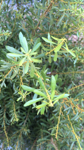
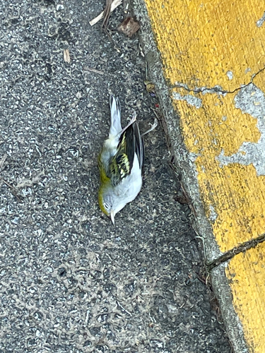
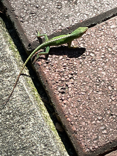
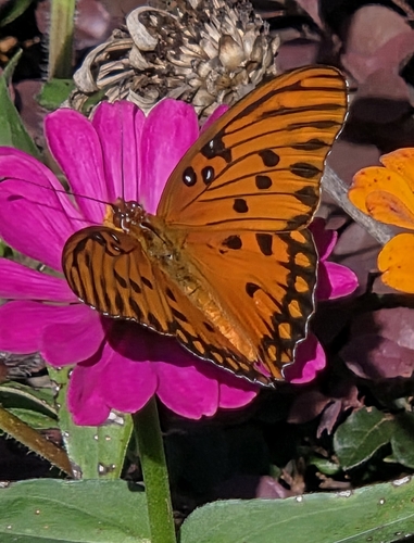
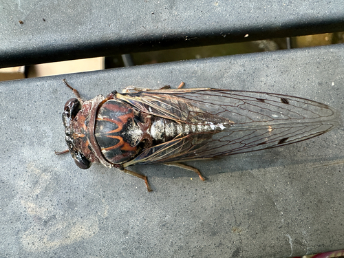
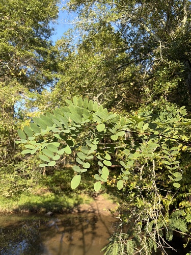
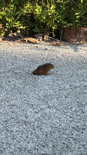
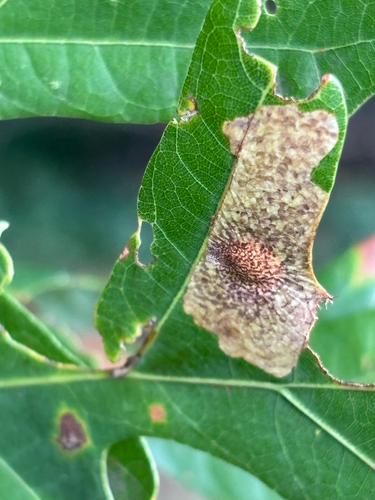
Research-grade observations from iNaturalist (within ~15 mi).
Nearest stream gauge
Live readings from USGS NWIS · measured 2026-09-17 11:30 UTC.
Events
Gallery
Sources
- • Wikipedia
- • US Census Bureau (ACS 5-year estimates)
- • Wikidata
- • USGS Earthquake Catalog (global feed)
- • USGS NWIS (water data)
- • GBIF (Global Biodiversity Information Facility)
- • iNaturalist
- • Open-Meteo / sunrise-sunset.org
- • Wikipedia Pageviews API
- • Open Library
- • NASA EONET