Browse / Gabon / Haut-Ogooué / Franceville
Franceville
Haut-Ogoouécity

Franceville
Total population
56,000
Demographic figures from DGS Gabon. Overview below cites Wikipedia and may reference a different year.
City facts
Sister cities
Facts from Wikidata (CC0).
Overview
Franceville is a city in southeastern Gabon and the capital of Haut-Ogooué Province. The 2013 general population and housing census recorded the city's population at 110,568, making it the third-largest commune in the country after Libreville and Port-Gentil. The city lies on the east bank of the Ogooué River, just south of its confluence with the Mpassa, at the eastern terminus of the Trans-Gabon Railway and of the Transgabonaise road corridor running east from Libreville.
Read more on WikipediaHistory & geography
History
Archaeological and linguistic evidence indicates that the upper Ogooué valley has been inhabited for at least two millennia. Iron-working farming communities speaking Bantu languages reached the middle and upper Ogooué in the course of the long southward and eastward Bantu expansion. By the nineteenth century the immediate vicinity of modern Franceville lay within the cultural sphere of the Batéké and the closely related Obamba, who are widely described in Gabonese ethnographic literature as the historical populations of the upper Ogooué plateaux. The Batéké of the Franceville area formed part of the wider political and cultural world of the Tio (Téké) Kingdom, whose ruler, the Makoko, exercised ritual and political influence over a large area astride the present Gabon–Congo border. Subsistence in the upper Ogooué combined fishing along the rivers, hunting in the surrounding gallery forests and savannas, shifting cultivation of yams, bananas and — from the Columbian exchange onwards — cassava, and participation in a network of regional trade in iron, salt, copper, ivory and slaves that linked the interior to the Atlantic coast. From this base Brazza pressed on to the Congo, where in September 1880 he signed with the Makoko the treaty that would ultimately provide the legal basis for French sovereignty over what became the French Congo and Gabon. Systematic geological prospecting carried out by the French after the Second World War transformed the economic and demographic balance of the upper Ogooué. Large deposits of high-grade manganese ore were identified at Moanda, about 65 km northwest of Franceville, and were brought into production from 1962 by the Compagnie Minière de l'Ogooué (COMILOG). Uranium prospecting in the Franceville basin began in 1955, leading…
Geography
Franceville lies on the eastern bank of the Ogooué immediately south of the river's confluence with the Mpassa, at an elevation of roughly 350 m (1,150 ft) above sea level. The urban area is built on a series of low plateaux that form a transitional zone between the dense equatorial rainforest of the central Gabon basin to the north and west and the grassy Batéké Plateau to the east and south. About 15 km south of the city the Ogooué enters a constricted gorge that produces the Poubara Falls; the falls and the adjoining rapids are spanned by traditional liana (vine) suspension bridges that are among the longest of their type in Gabon. The Ogooué itself rises on the Batéké Plateau on the Congolese side of the frontier to the east.
Excerpted from the corresponding Wikipedia article (CC BY-SA).
Geography
Coordinates & boundaries from the US Census TIGER/Line shapefiles.
Climate
Air quality
Walkability
Amenities nearby
Wildlife & biodiversity
Most-observed species
- Common BulbulPycnonotus barbatus (Desfontaines, 1789) · Aves17
- Speckled MousebirdColius striatus J.F.Gmelin, 1789 · Aves17
- African ThrushTurdus pelios Bonaparte, 1850 · Aves14
- Bronze mannikinLonchura cucullata (Swainson, 1837) · Aves13
- Northern Gray-headed SparrowPasser griseus (Vieillot, 1817) · Aves12
- Woodland KingfisherHalcyon senegalensis (Linnaeus, 1766) · Aves11
- Lesser Striped-SwallowCecropis abyssinica (Guerin-Meneville, 1843) · Aves11
- Little SwiftApus affinis (J.E.Gray, 1830) · Aves9
Citizen-science & research observations from the Global Biodiversity Information Facility (GBIF).
Earthquake history
Events from the USGS Earthquake Catalog (global) (FDSN Event Web Service).
Photos
Sights & places nearby
Notable people from here


People born within ~10 km, from Wikidata (CC0). Click any name for their Wikipedia article.
Nearby places in Haut-Ogooué
- Bandoye57.8 mi away
- Matalila140.4 mi away
- Sibiti142.6 mi away
- Mvouara150.8 mi away
- Zell-Schaida/Sele-Šajda3324.5 mi away · pop. 105
- Windisch Bleiberg/Slovenji Plajberk3325.4 mi away · pop. 122
- Suetschach / Sveče3327.6 mi away · pop. 639
- Ferlach3327.9 mi away · pop. 7,450
- Sankt Johann im Rosental/Šentjanž v Rožu3327.9 mi away · pop. 248
- Maria Elend/Podgorje3328 mi away · pop. 529
- Kappel an der Drau3328.4 mi away · pop. 255
- Kirschentheuer/Kožentavra3328.4 mi away · pop. 260
Geography & sun
Elevation, sunrise/sunset and daylight from Open-Meteo. Solar climatology from NASA POWER.
Nearby airports
Public attention
Pageview totals from the Wikimedia Pageviews API.
Books about this place
Recent natural events nearby
Ground air-quality sensors
Recently spotted species
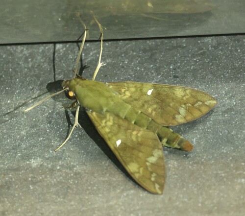
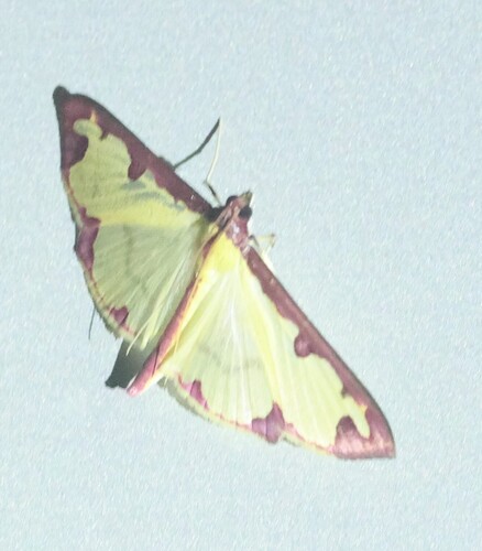
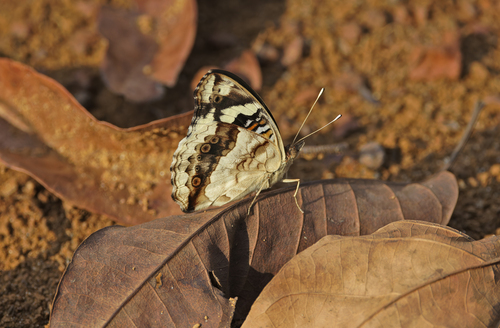
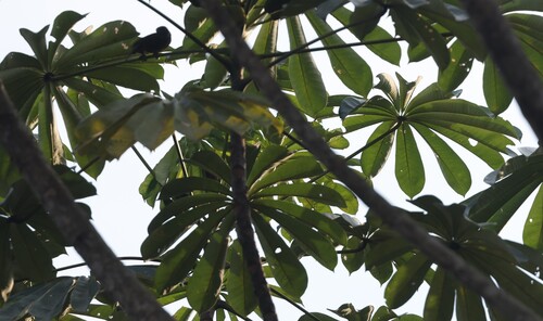
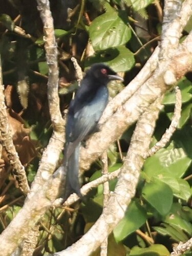
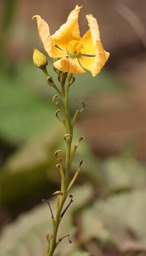
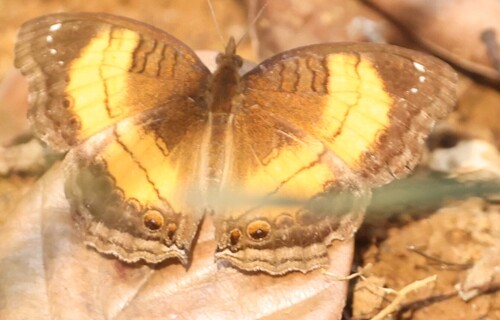
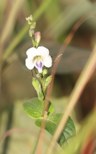
Research-grade observations from iNaturalist (within ~15 mi).
Events
Gallery
Sources
- • Wikipedia
- • Wikidata
- • USGS Earthquake Catalog (global feed)
- • GBIF (Global Biodiversity Information Facility)
- • iNaturalist
- • Open-Meteo / sunrise-sunset.org
- • Wikipedia Pageviews API