Browse / United States / Georgia / Franklin Springs
Franklin Springs
Georgiacity

Franklin Springs
Total population
1,108
Median home value
$207,500
Bachelor's+
Median income
$75,729
Demographic figures from US Census Bureau · ACS 5-year estimates. Overview below cites Wikipedia and may reference a different year.
City facts
Facts from Wikidata (CC0).
Overview
Franklin Springs is a city in Franklin County, Georgia, United States. As of the 2020 census, Franklin Springs had a population of 1,155. Emmanuel University is located here.
Read more on WikipediaHistory & geography
History
Franklin Springs began in the 19th century as a resort spa, with the city incorporating in 1924. The Franklin Springs Institute opened there in 1919 as a high school, eventually shifting to postsecondary education and changing its name to Emmanuel College in 1939. On September 16, 2004, a magnitude 2 tornado moved north across the town of Franklin Springs, damaging or destroying numerous structures along its 3-mile path. The city government building and the fire and police stations incurred significant damage, as did approximately 25 residences. Franklin County Emergency Management reported 10 chicken houses, some housing as many as 30,000 chickens and valued at more than $100,000 each, were destroyed. This was part of the Hurricane Ivan tornado outbreak.
Geography
Franklin Springs is located in southeastern Franklin County at (34.284598, -83.143402). It is bordered to the east by Royston. U.S. Route 29 passes through the center of the city, leading east to the center of Royston and southwest to Athens. Carnesville, the Franklin County seat, is to the northwest via Georgia State Route 145. According to the United States Census Bureau, the city of Franklin Springs has a total area of , of which , or 0.82%, is water.
Excerpted from the corresponding Wikipedia article (CC BY-SA).
Demographics & economy
Race & ethnicity
Source: US Census Bureau — American Community Survey, 5-year estimates.
Geography
Coordinates & boundaries from the US Census TIGER/Line shapefiles.
Climate
Air quality
Industrial & pollution facilities
Natural hazard risk
Health (adults)
Age-adjusted prevalence estimates from CDC PLACES (latest release).
Walkability
Amenities nearby
Wildlife & biodiversity
Schools
Largest nearby schools
- Franklin County High SchoolHigh · Carnesville · 1,048 students · 16.1:1 ratio
- Franklin County Middle SchoolMiddle · Carnesville · 826 students · 14.5:1 ratio
- Carnesville Elementary SchoolElementary · Carnesville · 703 students · 13:1 ratio
- Royston Elementary SchoolElementary · Royston · 493 students · 14.1:1 ratio
Public K–12 schools within ~10 mi from Urban Institute Education Data Portal (NCES Common Core of Data, 2022).
Earthquake history
Photos
Sights & places nearby
Notable people from here
Nearby places in Georgia
Geography & sun
Elevation, sunrise/sunset and daylight from Open-Meteo. Solar climatology from NASA POWER.
Nearby airports
Public attention
Pageview totals from the Wikimedia Pageviews API.
Books about Franklin Springs




Search results from Open Library.
Recent natural events nearby
- Wildfire Main Trail, Chatham, GeorgiaWildfires · 2026-08-14 · 208 mi
- Wildfire Camden McCarthy Overpass Fire, Camden, GeorgiaWildfires · 2026-07-30 · 244 mi
Wildfires, storms and other events from NASA EONET (last 12 months, within 250 mi).
Ground air-quality sensors
Recently spotted species
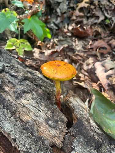
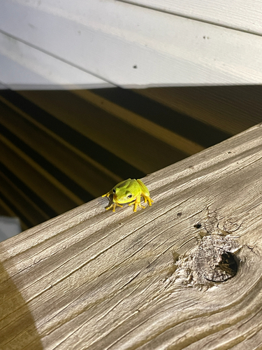
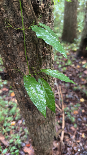
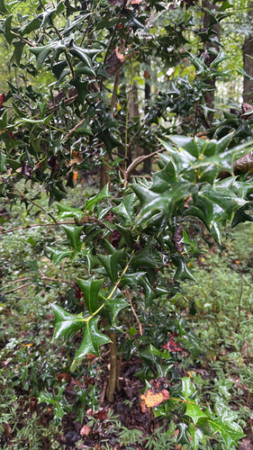
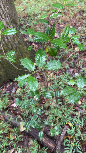
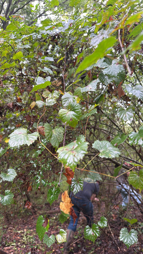
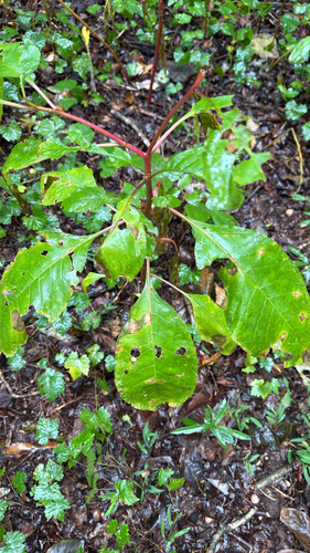
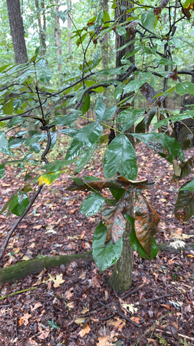
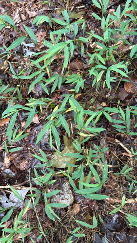
Research-grade observations from iNaturalist (within ~15 mi).
Nearest stream gauge
Events
Gallery
Sources
- • Wikipedia
- • US Census Bureau (ACS 5-year estimates)
- • Wikidata
- • NCES via Urban Institute Education Data Portal
- • iNaturalist
- • CDC PLACES
- • Open-Meteo / sunrise-sunset.org
- • Wikipedia Pageviews API
- • Open Library
- • NASA EONET