Browse / Gabon / Estuaire / Kafele
Kafele
Estuairevillage
Air quality index
Demographic figures from DGS Gabon. Overview below cites Wikipedia and may reference a different year.
City facts
Overview
Kafele is a village located in Estuaire, Gabon. Up-to-date population figures for this locality are not available in the open datasets we monitor. The settlement sits at 0.157°, 10.130°, a equatorial location in the northern hemisphere. Based on its equatorial position, residents likely encounter hot and humid year-round with little seasonal temperature variation. Solar-resource estimates put the area at about 1,449 kWh/m² of solar irradiance per year with sunshine for roughly 57% of daylight hours. Climate records indicate average highs near 86°F and lows near 73.8°F and about 126.7 in of annual precipitation (a very wet total). Read on for charts and tables covering demographics, climate, hazards, schools, wildlife and other open-data indicators for Kafele.
Summary composed automatically from structured open data on this page. See our Terms for details.
History & geography
Geography
Coordinates & boundaries from the US Census TIGER/Line shapefiles.
Climate
10-year averages from ERA5 reanalysis (Open-Meteo).
Air quality
Current readings from Open-Meteo Air Quality API (Copernicus CAMS European reanalysis).
Walkability
Amenities nearby
Wildlife & biodiversity
Most-observed species
- Little SwiftApus affinis (J.E.Gray, 1830) · Aves5
- African Harrier-HawkPolyboroides typus A.Smith, 1829 · Aves3
- Cattle EgretBubulcus ibis (Linnaeus, 1758) · Aves3
- Ethiopian SwallowHirundo aethiopica Blanford, 1869 · Aves3
- House SparrowPasser domesticus (Linnaeus, 1758) · Aves3
- Black-casqued HornbillCeratogymna atrata (Temminck, 1835) · Aves2
- Red-eyed DoveStreptopelia semitorquata (Rüppell, 1837) · Aves2
- Dideric CuckooChrysococcyx caprius (Boddaert, 1783) · Aves2
Citizen-science & research observations from the Global Biodiversity Information Facility (GBIF).
Earthquake history
Events from the USGS Earthquake Catalog (global) (FDSN Event Web Service).
Photos
Sights & places nearby
Notable people from here
People born within ~10 km, from Wikidata (CC0). Click any name for their Wikipedia article.
Nearby places in Estuaire
- Kalch3245.1 mi away · pop. 196
- Krottendorf bei Neuhaus am Klausenbach3245.9 mi away · pop. 128
- Tauka3247.1 mi away · pop. 293
- Mühlgraben3248.4 mi away · pop. 384
- Oberdrosen3248.9 mi away · pop. 208
- Windisch Minihof3249.1 mi away · pop. 434
- Eisenberg an der Raab3250.4 mi away · pop. 220
- Doiberberg3250.4 mi away
- Drosen3251 mi away
- Gritsch3251.1 mi away · pop. 103
- Doiber3251.3 mi away · pop. 235
- Neumarkt an der Raab3252 mi away · pop. 283
Geography & sun
Elevation, sunrise/sunset and daylight from Open-Meteo. Solar climatology from NASA POWER.
Nearby airports
Public attention
Books about this place
Recent natural events nearby
Ground air-quality sensors
Recently spotted species
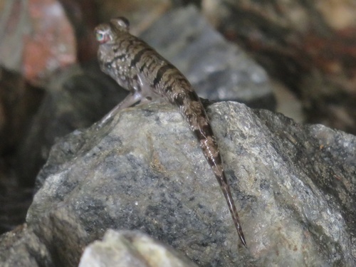
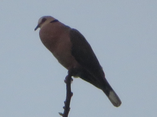
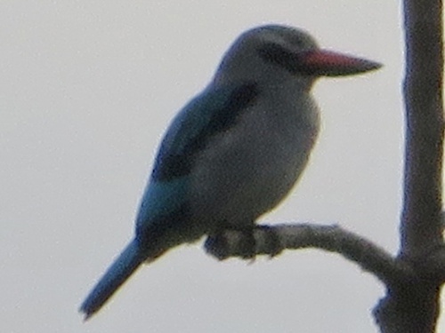
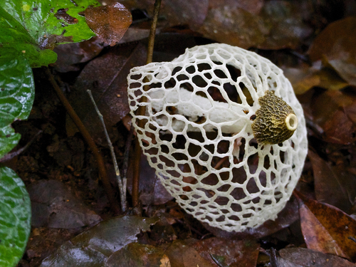

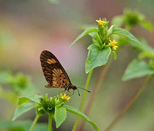
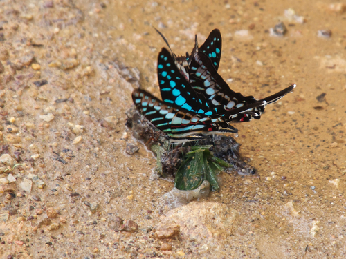
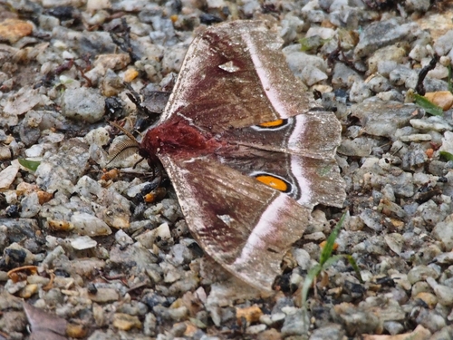

Research-grade observations from iNaturalist (within ~15 mi).
Events
Gallery
Sources
- • Open-Meteo (ERA5 reanalysis)
- • Wikidata
- • Open-Meteo Air Quality (CAMS)
- • USGS Earthquake Catalog (global feed)
- • GBIF (Global Biodiversity Information Facility)
- • iNaturalist
- • Open-Elevation
- • Open-Meteo / sunrise-sunset.org