Browse / United States / Georgia / Kennesaw
Kennesaw
Georgiacity

Kennesaw
Total population
34,605
Median home value
$335,400
Bachelor's+
Median income
$83,356
Demographic figures from US Census Bureau · ACS 5-year estimates. Overview below cites Wikipedia and may reference a different year.
City facts
Facts from Wikidata (CC0).
Overview
Kennesaw is a suburban city northwest of Atlanta in Cobb County, Georgia, United States, located within the greater Atlanta metropolitan area. Known from its original settlement in the 1830s until 1887 as Big Shanty, it became Kennesaw under an 1887 charter. According to the 2020 census, Kennesaw had a population of 33,036, a 10.9% increase in population over the preceding decade. Kennesaw has an important place in railroad history. During the Civil War, Kennesaw was the staging ground for the Great Locomotive Chase on April 12, 1862. Kennesaw is home to Kennesaw State University, an R2 research institution and the third-largest public university in the state of Georgia.
Read more on WikipediaHistory & geography
History
As the Western and Atlantic Railroad was being built in the late 1830s, shanty towns arose to house the workers. These were near a big spring. A grade up from the Etowah River became known as "the big grade to the shanties", then "Big Shanty Grade", and finally "Big Shanty". It was officially incorporated as the city of Kennesaw in 1887. Camp MacDonald, a training camp, was located there from 1861 to 1863. During the Civil War, Big Shanty was the site of major fighting in the Battle of Kennesaw Mountain, part of the larger Atlanta campaign. Kennesaw Mountain National Battlefield Park, located southeast of the city limits, now contains many of these historic areas. Much of the surrounding land has been developed, and many of the buried artifacts have been searched for and taken by people with metal detectors. Some artifacts of the Civil War are still on display in the visitor center of Kennesaw Mountain. L. C. Chalker purchased a tract of land adjacent to the Kennesaw Cemetery from J.W. Ellis in 1934, which was sold for burial purposes. Chalker purchased another adjacent to the first parcel in 1948, which was also to be used for a cemetery. The Chalker family managed these portions of the cemetery until they were sold to the City of Kennesaw in the mid-1950s. The earliest known burial is the infant Lucius B. Summers, who was interred in 1863. Other grave markers date as far back as the 1860s to the 1890s. Civil War veterans are buried here. The Kennesaw Cemetery is still in use. In March 2004, First Lady Laura Bush designated Kennesaw a Preserve America Community.
Geography
Kennesaw is located in northwestern Cobb County, bordered by the city of Acworth to the northwest. Kennesaw Mountain is located southeast of the city limits in the battlefield park. Its summit is the highest point in the Atlanta metro area, at an elevation of above sea level. The city was renamed for the mountain. U.S. Route 41 and State Route 3 pass through the city as Cobb Parkway, leading southeast to Marietta and northwest to Cartersville. Interstate 75 passes just northeast of the city limits, with access from exits 269, 271, and 273. Via I-75, downtown Atlanta is to the southeast, and Chattanooga, Tennessee, is northwest. The iconic peaks of Kennesaw Mountain are visible from the bridge over Interstate 75 that crosses over the city limits of Kennesaw. According to the United States Census Bureau, Kennesaw has a total area of , of which is land and , or 1.08%, is water. Kennesaw has a humid subtropical climate (Köppen climate classification: Cfa). On November 22, 1992, an F-4 tornado caused 34 injuries.
Excerpted from the corresponding Wikipedia article (CC BY-SA).
Demographics & economy
Race & ethnicity
Source: US Census Bureau — American Community Survey, 5-year estimates.
Geography
Coordinates & boundaries from the US Census TIGER/Line shapefiles.
Climate
Current forecast
Forecast for Kennesaw, GA from NOAA NWS API.
Air quality
Industrial & pollution facilities
Natural hazard risk
Health (adults)
Age-adjusted prevalence estimates from CDC PLACES (latest release).
Walkability
Amenities nearby
Wildlife & biodiversity
Most-observed species
- Northern CardinalCardinalis cardinalis (Linnaeus, 1758) · Aves35,828
- Tufted TitmouseBaeolophus bicolor (Linnaeus, 1766) · Aves29,490
- Carolina WrenThryothorus ludovicianus (Latham, 1790) · Aves29,305
- Carolina ChickadeePoecile carolinensis (Audubon, 1834) · Aves28,213
- Blue JayCyanocitta cristata (Linnaeus, 1758) · Aves24,345
- Downy WoodpeckerDryobates pubescens (Linnaeus, 1766) · Aves23,483
- Red-bellied WoodpeckerMelanerpes carolinus (Linnaeus, 1758) · Aves23,086
- House FinchHaemorhous mexicanus (P.L.Statius Müller, 1776) · Aves22,546
Citizen-science & research observations from the Global Biodiversity Information Facility (GBIF).
Schools
Largest nearby schools
- Osborne High SchoolHigh · Marietta · 2,772 students · 16.9:1 ratio
- Marietta High SchoolHigh · Marietta · 2,626 students · 15.4:1 ratio
- North Cobb High SchoolHigh · Kennesaw · 2,555 students · 18.1:1 ratio
- Wheeler High SchoolHigh · Marietta · 2,375 students · 17.3:1 ratio
- Hillgrove High SchoolHigh · Powder Springs · 2,363 students · 19.4:1 ratio
- McEachern High SchoolHigh · Powder Springs · 2,327 students · 18.8:1 ratio
- Harrison High SchoolHigh · Kennesaw · 2,121 students · 18.9:1 ratio
- Lassiter High SchoolHigh · Marietta · 1,932 students · 18.1:1 ratio
Public K–12 schools within ~10 mi from Urban Institute Education Data Portal (NCES Common Core of Data, 2022).
Earthquake history
Most recent
- M 2.58 — 2025-02-258 km N of Menlo, Georgia
- M 2.51 — 2020-07-065 km S of Tunnel Hill, Georgia
- M 2.72 — 2018-11-233 km N of Plainville, Georgia
- M 2.59 — 2018-10-2313 km NW of Trion, Georgia
- M 2.58 — 2017-06-027 km NW of Broomtown, Alabama
- M 2.5 — 2017-05-2516 km SE of LaFayette, Georgia
Events from the USGS Earthquake Catalog (global) (FDSN Event Web Service).
Photos
Sights & places nearby
Notable people from here
Nearby places in Georgia
- Powder Springs11.9 mi away
- Cartersville14.2 mi away · pop. 24,074
- Vinings14.4 mi away
- Canton16.8 mi away · pop. 35,741
- Lithia Springs17 mi away
- Dunwoody18.4 mi away · pop. 51,683
- White19.1 mi away
- Waleska20.4 mi away
- Taylorsville21.5 mi away
- North Druid Hills22 mi away
- Druid Hills23.5 mi away
- Kingston23.5 mi away
Geography & sun
Elevation, sunrise/sunset and daylight from Open-Meteo. Solar climatology from NASA POWER.
Nearby airports
Public attention
Pageview totals from the Wikimedia Pageviews API.
Books about Kennesaw





Search results from Open Library.
Recent natural events nearby
Ground air-quality sensors
Recently spotted species
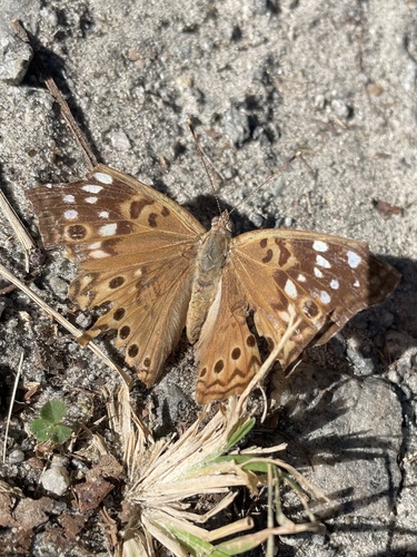



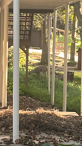

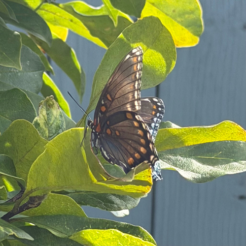
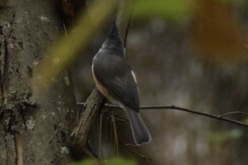
Research-grade observations from iNaturalist (within ~15 mi).
Nearest stream gauge
Events
Gallery
Sources
- • Wikipedia
- • US Census Bureau (ACS 5-year estimates)
- • NOAA National Weather Service
- • Wikidata
- • USGS Earthquake Catalog (global feed)
- • NCES via Urban Institute Education Data Portal
- • GBIF (Global Biodiversity Information Facility)
- • iNaturalist
- • CDC PLACES
- • Open-Meteo / sunrise-sunset.org
- • Wikipedia Pageviews API
- • Open Library