Browse / Gabon / Haut-Ogooué / Makatamangoye II
Makatamangoye II
Haut-Ogoouévillage
Demographic figures from DGS Gabon. Overview below cites Wikipedia and may reference a different year.
City facts
Overview
Within Haut-Ogooué, Gabon, Makatamangoye II stands as a village. No reliable population estimate is published for this entry in the open data we rely on. The settlement sits at -0.109°, 13.700°, a equatorial location in the southern hemisphere. Its latitude implies a climate characterised by hot and humid year-round with little seasonal temperature variation. Detailed open-data panels follow, covering demographics, climate, geography, wildlife and nearby settlements.
Summary composed automatically from structured open data on this page. See our Terms for details.
History & geography
Geography
Coordinates & boundaries from the US Census TIGER/Line shapefiles.
Climate
Air quality
Walkability
Amenities nearby
Wildlife & biodiversity
Most-observed species
- African Pied HornbillLophoceros fasciatus (Shaw, 1812) · Aves4
- Great Blue TuracoCorythaeola cristata (Vieillot, 1816) · Aves2
- Crowned EagleStephanoaetus coronatus (Linnaeus, 1766) · Aves2
- African Harrier-HawkPolyboroides typus A.Smith, 1829 · Aves2
- Black-headed WaxbillEstrilda atricapilla J.Verreaux & E.Verreaux, 1851 · Aves2
- Orange-cheeked WaxbillEstrilda melpoda (Vieillot, 1817) · Aves2
- Chestnut-breasted NigritaNigrita bicolor (Hartlaub, 1844) · Aves2
- Black-throated MalimbeMalimbus cassini (Elliot, 1859) · Aves2
Citizen-science & research observations from the Global Biodiversity Information Facility (GBIF).
Earthquake history
Events from the USGS Earthquake Catalog (global) (FDSN Event Web Service).
Photos
Sights & places nearby
Notable people from here
Nearby places in Haut-Ogooué
- Ndzakiville127.7 mi away
- Bafoumou 3147.2 mi away
- Bandoye163.5 mi away
- Loyo235.8 mi away
- Matalila241.1 mi away
- Sibiti248.2 mi away
- Mvouara256.5 mi away
- Zell-Schaida/Sele-Šajda3219 mi away · pop. 105
- Windisch Bleiberg/Slovenji Plajberk3219.9 mi away · pop. 122
- Suetschach / Sveče3222.2 mi away · pop. 639
- Ferlach3222.4 mi away · pop. 7,450
- Sankt Johann im Rosental/Šentjanž v Rožu3222.4 mi away · pop. 248
Geography & sun
Nearby airports
Public attention
Books about this place
Recent natural events nearby
Ground air-quality sensors
Recently spotted species
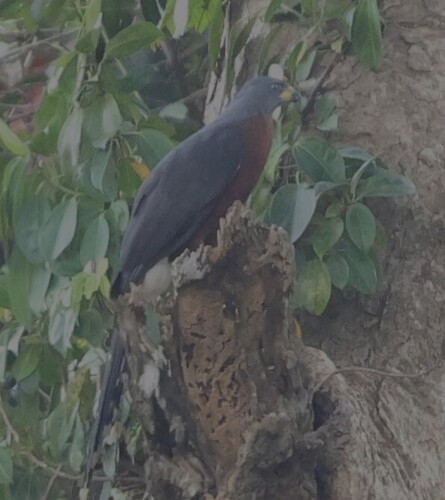
Research-grade observations from iNaturalist (within ~15 mi).
Events
Gallery
Sources
- • USGS Earthquake Catalog (global feed)
- • GBIF (Global Biodiversity Information Facility)
- • iNaturalist