Browse / Gabon / Ngounié / Nimbie 1
Nimbie 1
Ngouniévillage
Demographic figures from DGS Gabon. Overview below cites Wikipedia and may reference a different year.
City facts
Overview
Situated in Ngounié, Gabon, Nimbie 1 is a village. Up-to-date population figures for this locality are not available in the open datasets we monitor. On the world map it falls within the Eastern Hemisphere, specifically at -0.944°, 10.776°. The location receives about 1,464 kWh/m² of solar irradiance per year and sunshine for roughly 57% of daylight hours. The latitude suggests hot and humid year-round with little seasonal temperature variation. Read on for charts and tables covering demographics, climate, hazards, schools, wildlife and other open-data indicators for Nimbie 1.
Summary composed automatically from structured open data on this page. See our Terms for details.
History & geography
Geography
Coordinates & boundaries from the US Census TIGER/Line shapefiles.
Climate
Air quality
Walkability
Amenities nearby
Wildlife & biodiversity
Most-observed species
- African Spiral FlagCostus lucanusianus J.Braun & K.Schum. · Liliopsida2
- MangoMangifera indica L. · Magnoliopsida1
- St. John's bushDianthera secunda (Lam.) Griseb. · Magnoliopsida1
Citizen-science & research observations from the Global Biodiversity Information Facility (GBIF).
Earthquake history
Most recent
- M 4.3 — 2025-01-0940 km SSW of Lambaréné, Gabon
- M 4.6 — 2023-09-2542 km S of Lambaréné, Gabon
- M 4.6 — 2023-01-1030 km S of Lambaréné, Gabon
- M 5.5 — 2022-12-0434 km S of Lambaréné, Gabon
- M 4.5 — 2021-05-0948 km SSW of Lambaréné, Gabon
- M 4.7 — 2021-04-2739 km S of Lambaréné, Gabon
Events from the USGS Earthquake Catalog (global) (FDSN Event Web Service).
Photos
Sights & places nearby
Notable people from here
Nearby places in Ngounié
- Dibandi79.7 mi away
- St. Agatha3360.3 mi away · pop. 353
- Bad Goisern am Hallstättersee3361.3 mi away · pop. 7,528
- Eck3365 mi away · pop. 1,303
- Reiterndorf3365.6 mi away · pop. 2,362
- Windhag3366.3 mi away · pop. 211
- Weinbach3366.4 mi away
- Mitterstoder3367.5 mi away · pop. 283
- St. Wolfgang3367.5 mi away · pop. 632
- Mitterweißenbach3368.5 mi away · pop. 136
- Rosenau am Hengstpaß3369 mi away · pop. 105
- Weißenbach am Attersee3372 mi away
Geography & sun
Elevation, sunrise/sunset and daylight from Open-Meteo. Solar climatology from NASA POWER.
Nearby airports
Public attention
Books about this place
Recent natural events nearby
Ground air-quality sensors
Recently spotted species
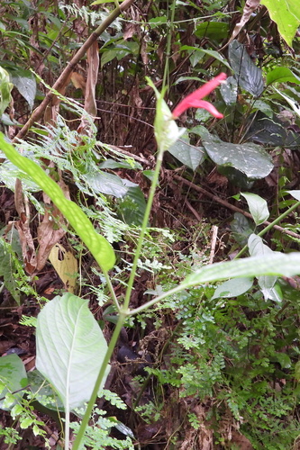
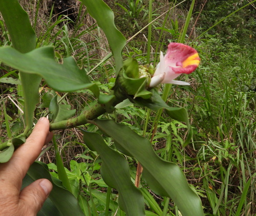
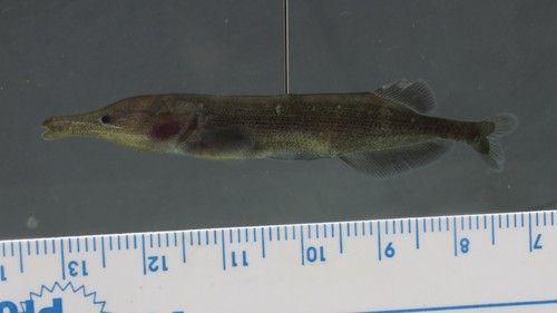
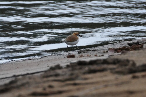

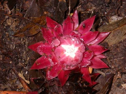
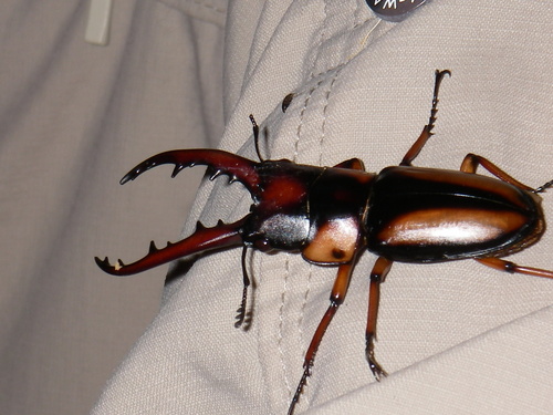
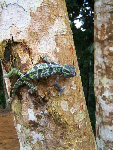
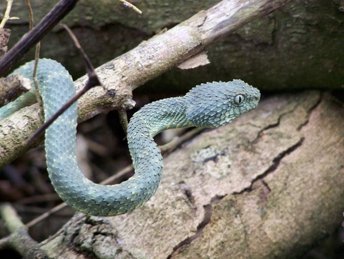
Research-grade observations from iNaturalist (within ~15 mi).
Events
Gallery
Sources
- • USGS Earthquake Catalog (global feed)
- • GBIF (Global Biodiversity Information Facility)
- • iNaturalist
- • Open-Meteo / sunrise-sunset.org