Browse / United States / Georgia / Rome
Rome
Georgiacity

Rome
Total population
38,189
Median home value
$234,300
Bachelor's+
Median income
$54,435
Founded
1834
Air quality index
Demographic figures from US Census Bureau · ACS 5-year estimates. Overview below cites Wikipedia and may reference a different year.
City facts
Facts from Wikidata (CC0).
Overview
Rome is the largest city and the county seat of Floyd County, Georgia, United States. Located in the foothills of the Appalachian Mountains, it is the principal city of the Rome, Georgia, metropolitan statistical area, which encompasses all of Floyd County. At the 2020 census, the city had a population of 37,713. It is the largest city in Northwest Georgia and the 26th-largest city in the state.
Read more on WikipediaHistory & geography
History
The Abihka tribe of Creek in the area of Rome later became part of the Upper Creek people (who occupied the Northern Creek territory, called themselves the Muscogee). They merged with other Creek tribes to become the Ulibahali, who later migrated westward into Alabama in the general region of Gadsden. By the mid-18th century, the Iroquoian-speaking Cherokee had moved into this area and occupied it. They had moved down from areas of Tennessee, under pressure from settlement by Americans migrating across the Appalachians from eastern territories. A Cherokee village named Etowah (), which means "Head of Coosa", was settled in this area during the late 18th century, in the period of the Cherokee–American wars (1776–94) during and after the American Revolutionary War. Several Cherokee national leaders settled here and developed their own cotton plantations, including chiefs Major Ridge and John Ross. Some of the Cherokee planters and others among the Southeast tribes bought enslaved African Americans to use as laborers on such plantations. In the 20th century, Ridge's home here was preserved as Chieftain's House. It has been adapted by the state for use as the Chieftains Museum. It is used to interpret the history of the Cherokee in this area, especially Major Ridge. In the 18th century, a high demand in Europe for American deerskins had led to a brisk trade between Indian hunters and White traders. A few White traders and some settlers (primarily from the Southern Colonies of Georgia and Carolina) were accepted by the Head of Coosa Cherokee. These were later joined by Christian missionaries, and more settlers. After the American War of Independence, most new settlers came from the area of Georgia east of the Proclamation Line of 1763. In 1793, in response to a Cherokee…
Geography
Rome is located in the foothills of the Appalachian Mountains. It is located at the confluence of the Etowah and the Oostanaula Rivers, which form the Coosa River. This gave the city access to the waterways, the major transportation routes of the era. Because of this water feature, Rome developed as a regional trade center, based originally on King Cotton. As cotton plantations were developed in the area, Rome was an increasingly important market town, shipping the commodity downriver to other markets. It was designated as the county seat of Floyd County. According to the United States Census Bureau, the city has a total area of , of which are land and , or 2.29%, are covered by water. The seven hills that inspired the name of Rome are known as Blossom, Jackson, Lumpkin, Mount Aventine, Myrtle, Old Shorter, and Neely Hills (the latter is also known as Tower or Clock Tower Hill). Some of the hills have been partially graded since Rome was founded. The climate in this area is characterized by relatively high temperatures and evenly distributed precipitation throughout the year. According to the Köppen climate classification, Rome has a humid subtropical climate, Cfa on climate maps.
Excerpted from the corresponding Wikipedia article (CC BY-SA).
Demographics & economy
Race & ethnicity
Source: US Census Bureau — American Community Survey, 5-year estimates.
Geography
Coordinates & boundaries from the US Census TIGER/Line shapefiles.
Climate
Current forecast
Forecast for Rome, GA from NOAA NWS API.
Air quality
Current readings from Open-Meteo Air Quality API (Copernicus CAMS European reanalysis).
Industrial & pollution facilities
Natural hazard risk
Health (adults)
Age-adjusted prevalence estimates from CDC PLACES (latest release).
Walkability
Amenities nearby
Wildlife & biodiversity
Most-observed species
- Northern CardinalCardinalis cardinalis (Linnaeus, 1758) · Aves1,666
- American CrowCorvus brachyrhynchos C.L.Brehm, 1822 · Aves1,604
- Carolina WrenThryothorus ludovicianus (Latham, 1790) · Aves1,543
- Eastern BluebirdSialia sialis (Linnaeus, 1758) · Aves1,429
- Northern MockingbirdMimus polyglottos (Linnaeus, 1758) · Aves1,360
- Tufted TitmouseBaeolophus bicolor (Linnaeus, 1766) · Aves1,352
- Blue JayCyanocitta cristata (Linnaeus, 1758) · Aves1,334
- Carolina ChickadeePoecile carolinensis (Audubon, 1834) · Aves1,263
Citizen-science & research observations from the Global Biodiversity Information Facility (GBIF).
Schools
Largest nearby schools
- Rome High SchoolHigh · Rome · 2,095 students · 15.5:1 ratio
- West End Elementary SchoolElementary · Rome · 983 students · 15.9:1 ratio
- Rome Middle SchoolMiddle · Rome · 966 students · 12.5:1 ratio
- Model HighHigh · Rome · 912 students · 18.6:1 ratio
- Pepperell High SchoolHigh · Lindale · 896 students · 16.3:1 ratio
- Coosa High SchoolHigh · Rome · 846 students · 16.3:1 ratio
- Armuchee High SchoolHigh · Rome · 809 students · 18:1 ratio
- Elm Street ElementaryElementary · Rome · 569 students · 12.9:1 ratio
Public K–12 schools within ~10 mi from Urban Institute Education Data Portal (NCES Common Core of Data, 2022).
Earthquake history
Most recent
- M 2.58 — 2025-02-258 km N of Menlo, Georgia
- M 2.5 — 2023-12-237 km ENE of Stevenson, Alabama
- M 2.94 — 2022-01-2116 km NNE of Eton, Georgia
- M 2.52 — 2021-03-145 km NNE of East Brainerd, Tennessee
- M 2.5 — 2020-11-169 km SW of Wildwood Lake, TN
- M 2.51 — 2020-07-065 km S of Tunnel Hill, Georgia
Events from the USGS Earthquake Catalog (global) (FDSN Event Web Service).
Photos
Sights & places nearby
Notable people from here


People born within ~10 km, from Wikidata (CC0). Click any name for their Wikipedia article.
Geography & sun
Elevation, sunrise/sunset and daylight from Open-Meteo. Solar climatology from NASA POWER.
Nearby airports
Public attention
Pageview totals from the Wikimedia Pageviews API.
Books about Rome
Search results from Open Library.
Recent natural events nearby
Ground air-quality sensors
Recently spotted species
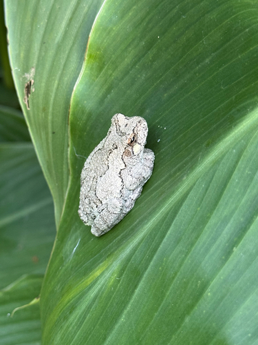
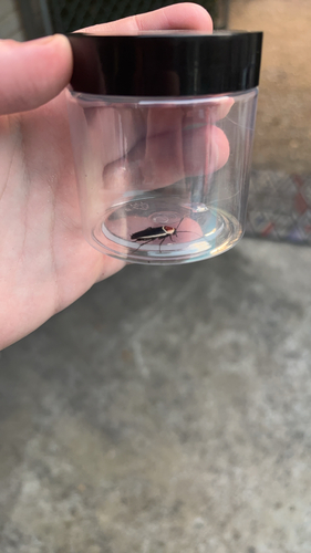
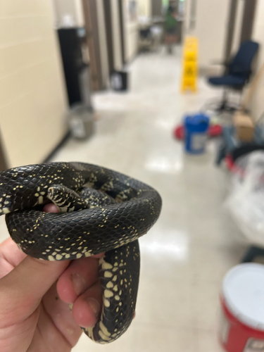
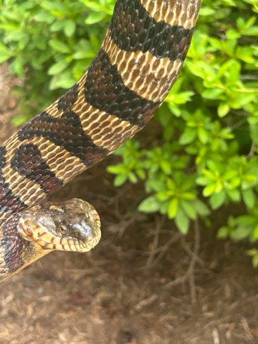
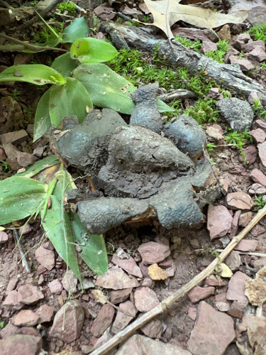
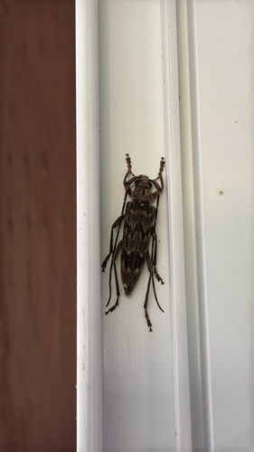
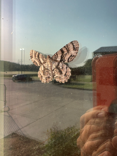
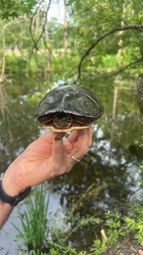
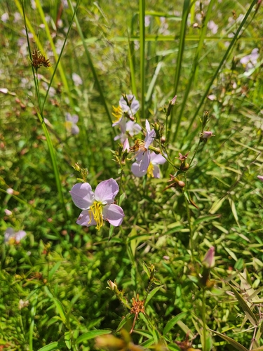
Research-grade observations from iNaturalist (within ~15 mi).
Nearest stream gauge
Live readings from USGS NWIS · measured 2026-06-27 21:45 UTC.
Events
Gallery
Geotagged photos within ~6 miles of Rome, from Wikimedia Commons contributors.
 0.3 mi
 0.4 mi
 0.5 mi
 0.7 mi
 0.7 mi
 0.8 mi
 0.8 mi
 0.8 mi
 0.8 mi
 0.8 mi
 0.8 mi
 0.8 mi
 0.8 mi
 1 mi
1 mi 1 mi
1 mi 1.1 mi
 1.1 mi
 1.1 mi
 1.1 mi
 1.1 mi
 1.1 mi
 1.2 mi
 1.2 mi
 1.2 mi
Photos via Wikimedia Commons — see each image page for license & attribution.
Sources
- • Wikipedia
- • US Census Bureau (ACS 5-year estimates)
- • NOAA National Weather Service
- • Wikimedia Commons
- • Wikidata
- • Open-Meteo Air Quality (CAMS)
- • USGS Earthquake Catalog (global feed)
- • USGS NWIS (water data)
- • NCES via Urban Institute Education Data Portal
- • GBIF (Global Biodiversity Information Facility)
- • iNaturalist
- • CDC PLACES
- • Open-Meteo / sunrise-sunset.org
- • Wikipedia Pageviews API
- • Open Library