Browse / Ghana / Northern / Tamale
Tamale
Northerncity

Tamale
Total population
950,124
Demographic figures from Ghana Statistical Service. Overview below cites Wikipedia and may reference a different year.
City facts
Sister cities
Facts from Wikidata (CC0).
Overview
Tamale is the capital city of the Northern Region of Ghana. It is Ghana's third largest city, with a population of 374,744 people as of the 2021 population census). The city has been ranked as the fastest-growing city in West Africa. Tamale is located in the Kingdom of Dagbon, Ghana's oldest Kingdom. It is traditionally inhabited by Dagombas, and other current residents are Gonja, Mamprusi Nanumba, Konkomba and Akan. As of 2025, the Mayor is Hon. Abu Takoro.
Read more on WikipediaHistory & geography
History
The area of Tamale used to consist of small villages, which were under the kingdom of Dagbon. it was a popular destination of cattle trails in the region.
Geography
Tamale is located in Tamale Metropolitan District, which has an area of about . The district bordered the Sagnarigu District to the west and north, Mion District towards the east, East Gonja District to the south and the Central Gonja District towards the southwest. |units=Celsius }} Tamale has a tropical savanna climate (Köppen climate classification Aw). The metropolis usually only experiences one rainy season a year, effecting staple crop farming. During the rainy season, it comes with tiny sunshine with heavy thunderstorms. The relative humidity in the city is usually the lowest between December and March at 30% while around August it is the highest at 70%.
Excerpted from the corresponding Wikipedia article (CC BY-SA).
Geography
Coordinates & boundaries from the US Census TIGER/Line shapefiles.
Climate
10-year averages from ERA5 reanalysis (Open-Meteo).
Air quality
Walkability
Amenities nearby
Wildlife & biodiversity
Most-observed species
- yellow fever mosquitoAedes aegypti (Linnaeus, 1762) · Insecta633
- Anopheles arabiensis Patton, 1905Anopheles arabiensis Patton, 1905 · Insecta101
- Speckled PigeonColumba guinea Linnaeus, 1758 · Aves69
- Laughing DoveSpilopelia senegalensis (Linnaeus, 1766) · Aves49
- Anopheles coluzzii Coetzee & Wilkerson, 2013Anopheles coluzzii Coetzee & Wilkerson, 2013 · Insecta45
- Small Black Sugar AntLepisiota capensis (Mayr, 1862) · Insecta30
- Common BulbulPycnonotus barbatus (Desfontaines, 1789) · Aves28
- Yellow-billed ShrikeCorvinella corvina (Shaw, 1809) · Aves27
Citizen-science & research observations from the Global Biodiversity Information Facility (GBIF).
Earthquake history
Events from the USGS Earthquake Catalog (global) (FDSN Event Web Service).
Photos
Sights & places nearby
Notable people from here


People born within ~10 km, from Wikidata (CC0). Click any name for their Wikipedia article.
Nearby places in Northern
Geography & sun
Elevation, sunrise/sunset and daylight from Open-Meteo. Solar climatology from NASA POWER.
Nearby airports
Public attention
Pageview totals from the Wikimedia Pageviews API.
Books about Tamale
Search results from Open Library.
Recent natural events nearby
Ground air-quality sensors
Recently spotted species
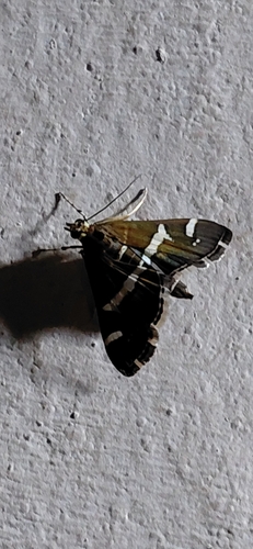
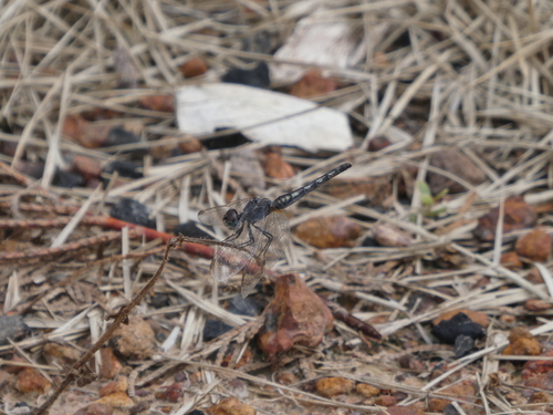
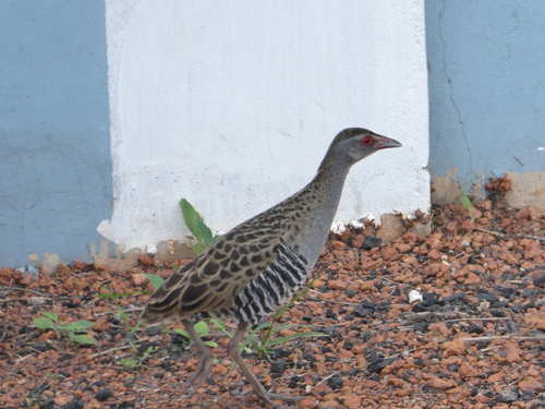
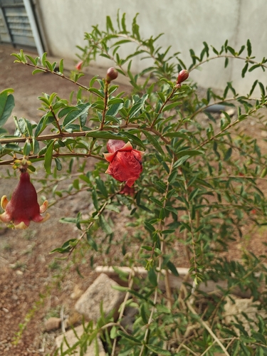
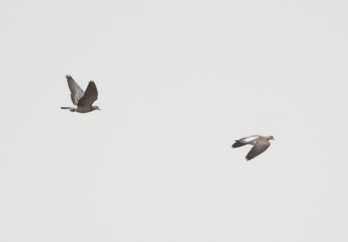
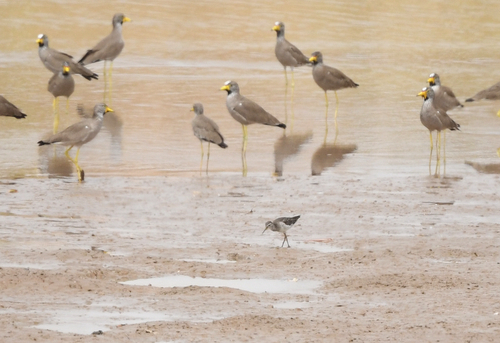
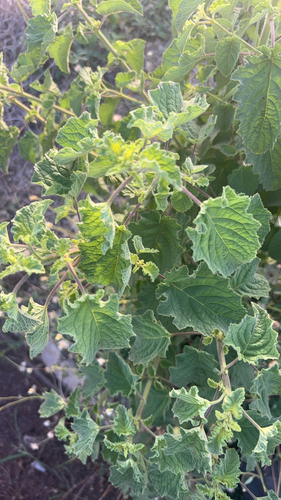
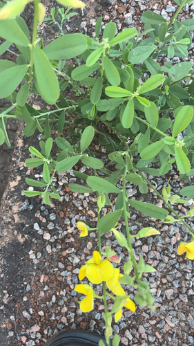
Research-grade observations from iNaturalist (within ~15 mi).
Events
Gallery
Sources
- • Wikipedia
- • Open-Meteo (ERA5 reanalysis)
- • Wikidata
- • USGS Earthquake Catalog (global feed)
- • GBIF (Global Biodiversity Information Facility)
- • iNaturalist
- • Open-Meteo / sunrise-sunset.org
- • Wikipedia Pageviews API
- • Open Library
- • Wikidata SPARQL (CC0) — population, area, elevation, inception, head of government, Commons image