Browse / Guinea / Nzérékoré / Gouécké
Gouécké
Nzérékorétown
Demographic figures from Institut National de la Statistique (Guinea). Overview below cites Wikipedia and may reference a different year.
City facts
Overview
Situated in Nzérékoré, Guinea, Gouécké is a town. On the world map it falls within the Western Hemisphere, specifically at 8.026°, -8.725°. No reliable population estimate is published for this entry in the open data we rely on. Solar-resource estimates put the area at about 1,906 kWh/m² of solar irradiance per year with sunshine for roughly 75% of daylight hours. The latitude suggests hot and humid year-round with little seasonal temperature variation. Further detail — demographics, climate, nearby amenities and natural-hazard data — is compiled below from public open-data sources.
Summary composed automatically from structured open data on this page. See our Terms for details.
History & geography
Geography
Coordinates & boundaries from the US Census TIGER/Line shapefiles.
Climate
Air quality
Walkability
Amenities nearby
Wildlife & biodiversity
Earthquake history
Photos
Sights & places nearby
Notable people from here
Geography & sun
Elevation, sunrise/sunset and daylight from Open-Meteo. Solar climatology from NASA POWER.
Nearby airports
Public attention
Books about this place
Recent natural events nearby
Ground air-quality sensors
Recently spotted species
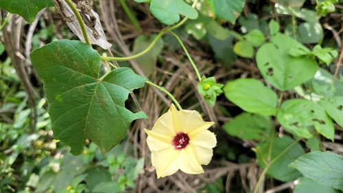

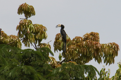

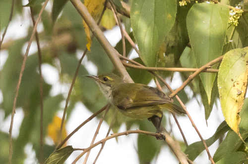




Research-grade observations from iNaturalist (within ~15 mi).
Events
Gallery
Sources
- • iNaturalist
- • Open-Meteo / sunrise-sunset.org