Browse / Greece / Thessaly / Agia
Agia
Thessalytown
Total population
3,169
Air quality index
Demographic figures from ELSTAT. Overview below cites Wikipedia and may reference a different year.
City facts
Overview
As a town in Thessaly, Greece, Agia occupies its own corner of the country. It is home to roughly 3,169 residents. The settlement sits at 39.718°, 22.756°, a warm-temperate location in the northern hemisphere. The location receives about 1,605 kWh/m² of solar irradiance per year and sunshine for roughly 63% of daylight hours. Meteorological summaries report average highs near 69.6°F and lows near 52.8°F, together with about 29.6 in of annual precipitation (a moderate total). Its latitude implies a climate characterised by warm summers and cool winters. The sections below expand on demographics, weather, terrain, hazards and nearby points of interest using publicly available datasets.
Summary composed automatically from structured open data on this page. See our Terms for details.
History & geography
Geography
Coordinates & boundaries from the US Census TIGER/Line shapefiles.
Climate
10-year averages from ERA5 reanalysis (Open-Meteo).
Air quality
Current readings from Open-Meteo Air Quality API (Copernicus CAMS European reanalysis).
Walkability
Amenities nearby
Wildlife & biodiversity
Most-observed species
- Common BuzzardButeo buteo (Linnaeus, 1758) · Aves123
- Eurasian MagpiePica pica (Linnaeus, 1758) · Aves105
- Eurasian Collared-DoveStreptopelia decaocto (Frivaldszky, 1838) · Aves99
- Eurasian KestrelFalco tinnunculus Linnaeus, 1758 · Aves98
- Gray/Purple HeronArdea cinerea Linnaeus, 1758 · Aves94
- Hooded CrowCorvus cornix Linnaeus, 1758 · Aves88
- House SparrowPasser domesticus (Linnaeus, 1758) · Aves84
- Common ChaffinchFringilla coelebs Linnaeus, 1758 · Aves82
Citizen-science & research observations from the Global Biodiversity Information Facility (GBIF).
Earthquake history
Most recent
- M 4.2 — 2026-07-017 km ESE of Anávra, Greece
- M 4.8 — 2026-04-287 km W of Skiáthos, Greece
- M 4.7 — 2026-04-287 km NW of Skiáthos, Greece
- M 4.4 — 2026-02-145 km W of Néon Monastírion, Greece
- M 4.9 — 2026-01-101 km E of Domokós, Greece
- M 4.5 — 2025-11-243 km SW of Magoúla, Greece
Events from the USGS Earthquake Catalog (global) (FDSN Event Web Service).
Photos
Sights & places nearby
Notable people from here
People born within ~10 km, from Wikidata (CC0). Click any name for their Wikipedia article.
Nearby places in Thessaly
- Anavra3.9 mi away · pop. 599
- Agiokampos6.6 mi away · pop. 315
- Dimitra6.9 mi away · pop. 315
- Spilia7.9 mi away · pop. 338
- Karitsa8.6 mi away · pop. 535
- Namata9.6 mi away · pop. 105
- Pournari10.4 mi away · pop. 616
- Melissa12.6 mi away · pop. 251
- Melia13.1 mi away · pop. 309
- Elateia13.2 mi away · pop. 492
- Ampelakia14.1 mi away · pop. 434
- Niki14.3 mi away · pop. 277
Geography & sun
Elevation, sunrise/sunset and daylight from Open-Meteo. Solar climatology from NASA POWER.
Nearby airports
Public attention
Books about Agia

Search results from Open Library.
Recent natural events nearby
Ground air-quality sensors
Recently spotted species


Research-grade observations from iNaturalist (within ~15 mi).
Events
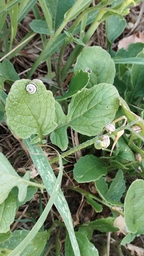
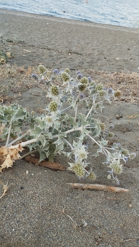
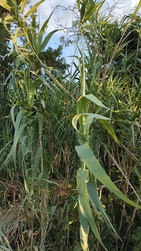
Gallery
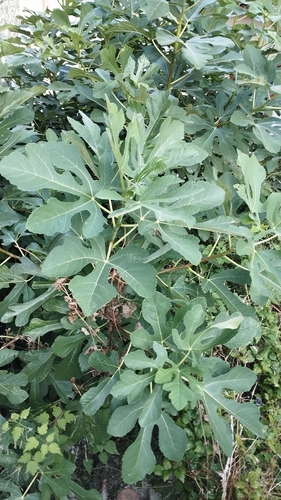
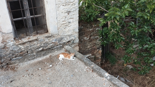
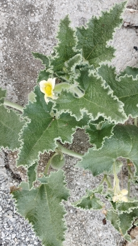
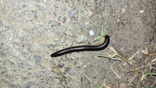
Geotagged photos within ~6 miles of Agia, from Wikimedia Commons contributors.
 0 mi
0 mi 0 mi
0 mi 0 mi
0 mi 0.1 mi
 0.1 mi
 0.1 mi
 0.1 mi
 0.1 mi
 0.1 mi
 0.1 mi
 0.1 mi
 0.1 mi
 0.1 mi
 0.1 mi
 0.1 mi
 0.1 mi
 0.1 mi
 0.2 mi
 0.2 mi
 0.2 mi
 0.2 mi
 0.2 mi
 0.2 mi
 0.2 mi
Photos via Wikimedia Commons — see each image page for license & attribution.
Sources
- • Open-Meteo (ERA5 reanalysis)
- • Wikimedia Commons
- • Wikidata
- • Open-Meteo Air Quality (CAMS)
- • USGS Earthquake Catalog (global feed)
- • GBIF (Global Biodiversity Information Facility)
- • iNaturalist
- • Open-Meteo / sunrise-sunset.org
- • Open Library