Browse / Greece / Southern Aegean / Ano Syros
Ano Syros
Southern Aegeantown

Ano Syros
Total population
862
Demographic figures from ELSTAT. Overview below cites Wikipedia and may reference a different year.
City facts
Overview
Ano Syros is a town and a former municipality on the island of Syros, in the Cyclades, Greece. Since the 2011 local government reform it is part of the municipality Syros-Ermoupoli, of which it is a municipal unit. The municipal unit includes the uninhabited islands Gyaros and Varvaroúsa. Population 3,611 ; land area 67.014 square kilometres. The municipal unit shares the island of Sýros with the municipal units of Ermoupoli and Poseidonia.
Read more on WikipediaHistory & geography
History
Ano Syros is the medieval settlement of Syros. It was built during the late Byzantine era or early Frankokratia. It is a classical cycladic medieval settlement that is densely built with narrow roads, circular order and a radial street plan. Its overall landscape resembles a fortified citadel. Ano Syros is inhabited by Catholic Greeks. The reason for it is the long period of Frankokratia in Syros that started immediately after the Fourth Crusade. Frankokratia ended during the 16th century but the Catholics of Syros came under French protection and Catholicism survived in the island. After founding of nearby Hermoupolis, Ano Syros ceased to be the administrative centre of Syros. Nevertheless, the settlement remained a religious centre since it is the seat of Roman Catholic Diocese of Syros and Milos. During WW2 the city was occupied by the Italians, who wanted to create an Italian province with administrative capital in Ano Syros:
Excerpted from the corresponding Wikipedia article (CC BY-SA).
Geography
Coordinates & boundaries from the US Census TIGER/Line shapefiles.
Climate
10-year averages from ERA5 reanalysis (Open-Meteo).
Air quality
Walkability
Amenities nearby
Wildlife & biodiversity
Most-observed species
- Sardinian WarblerCurruca melanocephala (J.F.Gmelin, 1789) · Aves105
- Yellow-legged GullLarus michahellis J.F.Naumann, 1840 · Aves91
- Common BuzzardButeo buteo (Linnaeus, 1758) · Aves73
- Crested LarkGalerida cristata (Linnaeus, 1758) · Aves70
- Eurasian KestrelFalco tinnunculus Linnaeus, 1758 · Aves68
- Hooded CrowCorvus cornix Linnaeus, 1758 · Aves65
- House SparrowPasser domesticus (Linnaeus, 1758) · Aves60
- European ShagPhalacrocorax aristotelis (Linnaeus, 1761) · Aves55
Citizen-science & research observations from the Global Biodiversity Information Facility (GBIF).
Earthquake history
Photos
Sights & places nearby
Notable people from here


People born within ~10 km, from Wikidata (CC0). Click any name for their Wikipedia article.
Nearby places in Southern Aegean
Geography & sun
Elevation, sunrise/sunset and daylight from Open-Meteo. Solar climatology from NASA POWER.
Nearby airports
Public attention
Pageview totals from the Wikimedia Pageviews API.
Books about this place
Recent natural events nearby
Ground air-quality sensors
Recently spotted species
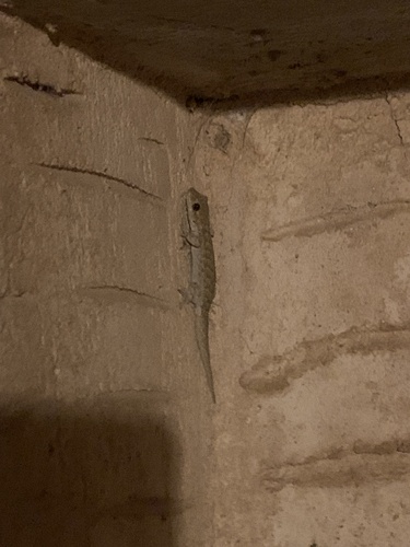
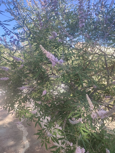
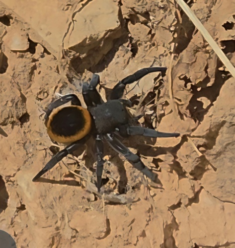
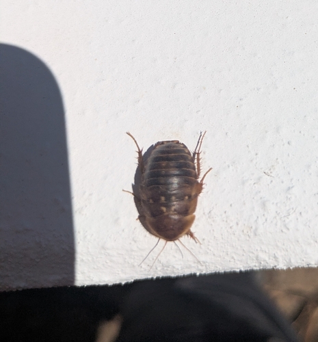
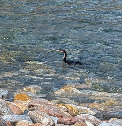
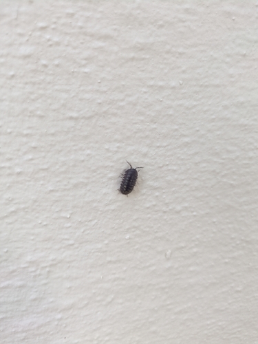
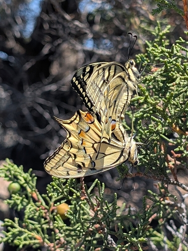
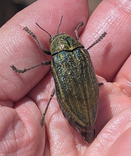
Research-grade observations from iNaturalist (within ~15 mi).
Events
Gallery
Geotagged photos within ~6 miles of Ano Syros, from Wikimedia Commons contributors.
 0 mi
0 mi 0 mi
0 mi 0 mi
0 mi 0 mi
0 mi 0 mi
0 mi 0 mi
0 mi 0 mi
0 mi 0 mi
0 mi 0 mi
0 mi 0.1 mi
 0.1 mi
 0.1 mi
 0.1 mi
 0.1 mi
 0.1 mi
 0.1 mi
 0.1 mi
 0.1 mi
 0.3 mi
 0.3 mi
 0.4 mi
 0.5 mi
 0.5 mi
 0.5 mi
Photos via Wikimedia Commons — see each image page for license & attribution.
Official Identifiers
ELSTAT — Hellenic Statistical Authority
- ELSTAT code
- 5801020101
- Population (Wikidata)
- 621
- Wikidata
- Q1801890
ELSTAT geographical code via Wikidata P1116
Sources
- • Wikipedia
- • Open-Meteo (ERA5 reanalysis)
- • Wikimedia Commons
- • Wikidata
- • GBIF (Global Biodiversity Information Facility)
- • iNaturalist
- • Open-Meteo / sunrise-sunset.org
- • Wikipedia Pageviews API
- • ELSTAT — Hellenic Statistical Authority — ELSTAT geographical code via Wikidata P1116