Browse / Greece / Crete / Charakas
Charakas
Cretevillage

Charakas
Total population
812
Demographic figures from ELSTAT. Overview below cites Wikipedia and may reference a different year.
City facts
Facts from Wikidata (CC0).
Overview
Charakas is a village and a community in the municipal unit of Asterousia on Crete, Greece with about 800 inhabitants. It is about 45 km south from Heraklion, which is the largest city of Crete. The village lies on the foothills of the Asterousia Mountains, 15 km from the south coast of Crete, behind the mountain Libyan Sea.
Read more on WikipediaHistory & geography
History
During the period of Venice domination the name of village was San Giovanni, but renamed in Harakas, because there is a great rock in the west side, 35 meters high and about 60m in the width with the name (haraki).On the rock is built a castle and a church The rock is accessed only from the east and it is a monolithic barrow.
Excerpted from the corresponding Wikipedia article (CC BY-SA).
Geography
Coordinates & boundaries from the US Census TIGER/Line shapefiles.
Climate
10-year averages from ERA5 reanalysis (Open-Meteo).
Air quality
Walkability
Amenities nearby
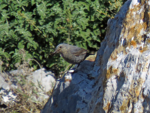
Wildlife & biodiversity
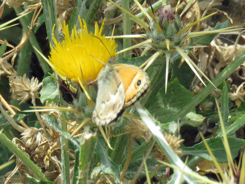
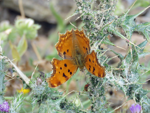
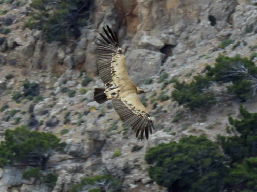
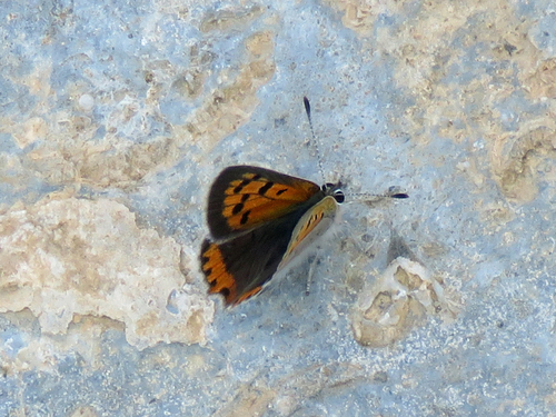
Most-observed species
- Eurasian GriffonGyps fulvus (Hablizl, 1783) · Aves161
- Hooded CrowCorvus cornix Linnaeus, 1758 · Aves145
- Common BuzzardButeo buteo (Linnaeus, 1758) · Aves137
- Common RavenCorvus corax Linnaeus, 1758 · Aves115
- Barn SwallowHirundo rustica Linnaeus, 1758 · Aves101
- European GoldfinchCarduelis carduelis (Linnaeus, 1758) · Aves99
- Sardinian WarblerCurruca melanocephala (J.F.Gmelin, 1789) · Aves91
- Common ChaffinchFringilla coelebs Linnaeus, 1758 · Aves90
Citizen-science & research observations from the Global Biodiversity Information Facility (GBIF).
Earthquake history
Most recent
- M 4.1 — 2026-07-020 km SSW of Tympáki, Greece
- M 5.2 — 2026-06-2015 km S of Kastrí, Greece
- M 4.9 — 2026-06-2012 km S of Kastrí, Greece
- M 4.5 — 2026-06-1179 km S of Pýrgos, Greece
- M 4.1 — 2026-05-2931 km ESE of Ierápetra, Greece
- M 4.1 — 2026-05-2129 km SSE of Ierápetra, Greece
Events from the USGS Earthquake Catalog (global) (FDSN Event Web Service).
Photos
Sights & places nearby
Notable people from here

People born within ~10 km, from Wikidata (CC0). Click any name for their Wikipedia article.
Nearby places in Crete
Geography & sun
Elevation, sunrise/sunset and daylight from Open-Meteo. Solar climatology from NASA POWER.
Nearby airports
Public attention
Pageview totals from the Wikimedia Pageviews API.
Books about this place
Recent natural events nearby
Ground air-quality sensors
Recently spotted species
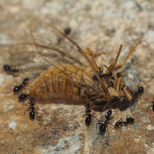
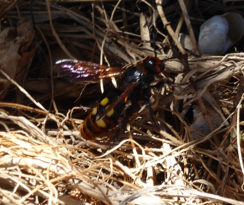
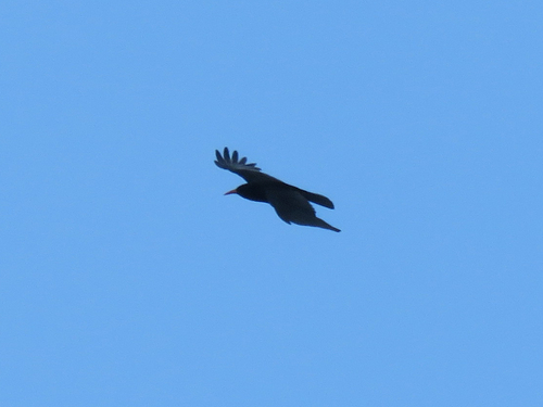
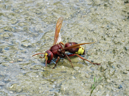
Research-grade observations from iNaturalist (within ~15 mi).
Events
Gallery
Geotagged photos within ~6 miles of Charakas, from Wikimedia Commons contributors.
 0.1 mi
 0.1 mi
 0.2 mi
 0.2 mi
 0.2 mi
 0.2 mi
 0.4 mi
 1.4 mi
 1.5 mi
 1.6 mi
 1.7 mi
 2 mi
2 mi 2.1 mi
 2.1 mi
 2.1 mi
 2.1 mi
 2.1 mi
 2.2 mi
 2.4 mi
 2.4 mi
 2.7 mi
 2.8 mi
 2.8 mi
 2.9 mi
Photos via Wikimedia Commons — see each image page for license & attribution.
Sources
- • Wikipedia
- • Open-Meteo (ERA5 reanalysis)
- • Wikimedia Commons
- • Wikidata
- • USGS Earthquake Catalog (global feed)
- • GBIF (Global Biodiversity Information Facility)
- • iNaturalist
- • Open-Meteo / sunrise-sunset.org
- • Wikipedia Pageviews API