Browse / Greece / Northern Aegean / Eresos
Eresos
Northern Aegeanvillage

Eresos
Total population
1,086
Air quality index
Demographic figures from ELSTAT. Overview below cites Wikipedia and may reference a different year.
City facts
Facts from Wikidata (CC0).
Overview
Eresos and its twin beach village Skala Eresou are located in the southwest part of the Greek island of Lesbos. They are villages visited by considerable numbers of tourists. Its history begins in the early Greek Archaic period and famous Greeks of antiquity that were Eressians include Sappho, Theophrastos and Phaenias of Eresus.
Read more on WikipediaHistory & geography
History
Stephanus of Byzantium, a lexicographer of the 6th century AD, claimed that the city was named after Eresos, a son of the mythical king of Lesbos, Macar. Archaeology suggests that the city of Eresos was founded in the 8th or 7th century BC. Information about Eresos before the Classical period is extremely scant. The lyric poet Sappho may have been born at Eresos c. 620 BCE and belonged to an important family who were socially prominent at Mytilene, the island's most important city. In addition, the oldest Greek inscription on the island, which dates to the 6th century BCE, has been found in the hills above Eresos, and is thought to have belonged to a temple. The remains of defensive towers and large enclosures thought to have had a religious purpose built in the decorative Lesbian polygonal style and located at the edges of Eresian territory suggests a certain degree of wealth and prosperity in the Archaic period. Eresos, along with Antissa and Pyrrha, was one of the minor cities on Lesbos in the 5th century BCE. When Mytilene revolted from the Delian League in summer 428, Eresos supported Mytilene. The following year, it fell to the Athenian general Paches and, along with the other cities of the island except for Methymna, had an Athenian cleruchy imposed on it. In the latter part of the Peloponnesian War, Eresos went back and forth between Athenian and Spartan control on a number of occasions. In summer 412, Eresos revolted from Athens and joined the Spartan admiral Astyochus in making an unsuccessful attempt to seize Methymna. When Astyochus' attempt to take Lesbos failed, Eresos returned to Athenian control. The following year, exiles from Methymna again raised Eresos in revolt. The Athenian commanders, Thrasyllus at Methymna and Thrasybulus on Samos, both…
Geography
From 1999 until 2010, Eresos and the village of Antissa constituted the municipality of Eresos-Antissa which contained five other villages: Messotopos, Vatoussa, Chidira, Sigri and Pterounda located in the west and most barren part of the island. From 2010 until 2019, Eresos was part of the municipality of Lesvos and from 2019 it is part of the municipality of West Lesvos. Bare rocky hills, derived from ancient volcanic activity, dominate the area. Skala Eresou is a centre for international tourism and is a favorite spot of Greek families, young people as well as gay women. With its long beautiful beach with dark volcanic sand and its crystal-clear unpolluted water, Skala Eressou was awarded Blue Flag status by the Foundation for Environmental Education.
Excerpted from the corresponding Wikipedia article (CC BY-SA).
Geography
Coordinates & boundaries from the US Census TIGER/Line shapefiles.
Climate
Air quality
Current readings from Open-Meteo Air Quality API (Copernicus CAMS European reanalysis).
Walkability
Amenities nearby
Wildlife & biodiversity
Most-observed species
- Black-eared WheatearOenanthe hispanica (Linnaeus, 1758) · Aves2,188
- Cretzschmar's BuntingEmberiza caesia Cretzschmar, 1827 · Aves1,469
- Red-backed ShrikeLanius collurio Linnaeus, 1758 · Aves1,431
- Crested LarkGalerida cristata (Linnaeus, 1758) · Aves1,264
- Cirl BuntingEmberiza cirlus Linnaeus, 1767 · Aves1,117
- Black-headed BuntingEmberiza melanocephala Scopoli, 1769 · Aves1,066
- Common RavenCorvus corax Linnaeus, 1758 · Aves1,053
- Barn SwallowHirundo rustica Linnaeus, 1758 · Aves1,045
Citizen-science & research observations from the Global Biodiversity Information Facility (GBIF).
Earthquake history
Most recent
- M 4.1 — 2026-01-1716 km SW of Psará, Greece
- M 4.4 — 2025-10-2716 km WNW of Míthymna, Greece
- M 4.3 — 2025-01-2337 km NW of Psará, Greece
- M 5 — 2025-01-214 km SW of Behram, Turkey
- M 4 — 2024-10-279 km NNW of Mantamádos, Greece
- M 4.1 — 2024-10-0617 km SW of Eresós, Greece
Events from the USGS Earthquake Catalog (global) (FDSN Event Web Service).
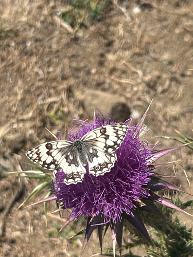
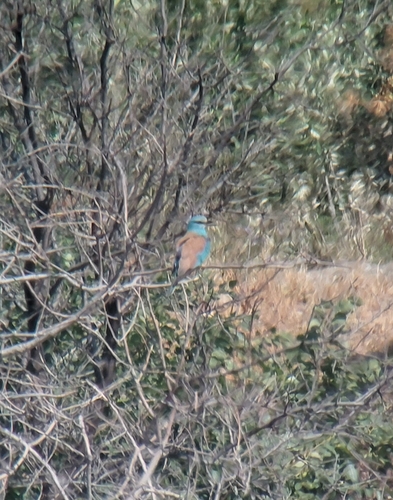
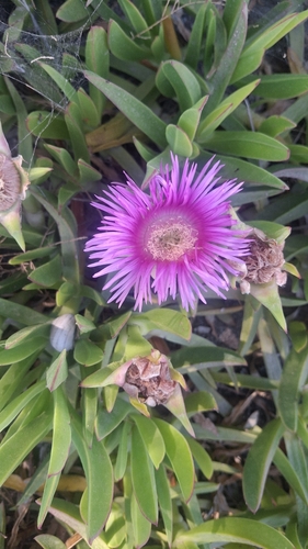
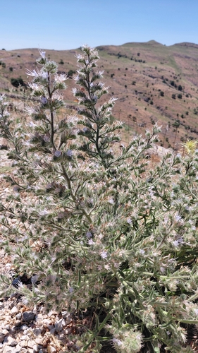
Photos
Sights & places nearby
Notable people from here


People born within ~10 km, from Wikidata (CC0). Click any name for their Wikipedia article.
Nearby places in Northern Aegean
Geography & sun
Elevation, sunrise/sunset and daylight from Open-Meteo. Solar climatology from NASA POWER.
Nearby airports
Public attention
Pageview totals from the Wikimedia Pageviews API.
Books about this place
Recent natural events nearby
Ground air-quality sensors
Recently spotted species
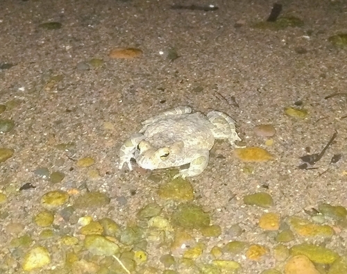
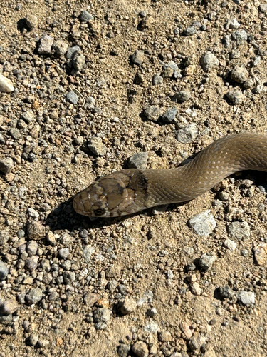
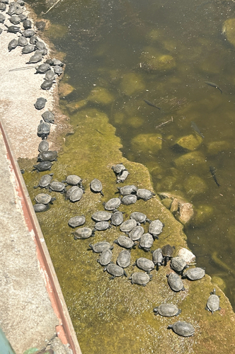
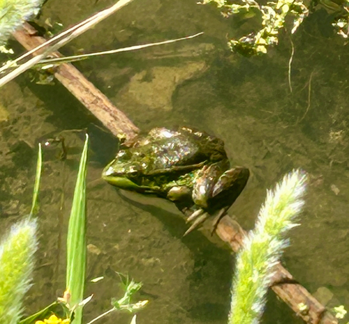
Research-grade observations from iNaturalist (within ~15 mi).
Events
Notable, recurring, and historical events associated with Eresos, sourced from Wikidata.
Source: Wikidata (CC0).
Gallery
Geotagged photos within ~6 miles of Eresos, from Wikimedia Commons contributors.
 2.3 mi
 2.3 mi
,_Skala_Eresou,_Lesvos,_Greece,_12.04.2015_(17766276786).jpg) 2.3 mi
2.3 mi 2.4 mi
 2.4 mi
 2.4 mi
 2.4 mi
 2.4 mi
 2.4 mi
 2.4 mi
 2.4 mi
 2.4 mi
 2.4 mi
 2.4 mi
 2.5 mi
 2.5 mi
 2.5 mi
 2.5 mi
 2.5 mi
 2.5 mi
 2.5 mi
 2.5 mi
 2.5 mi
 2.5 mi
Photos via Wikimedia Commons — see each image page for license & attribution.
Sources
- • Wikipedia
- • Wikimedia Commons
- • Wikidata
- • Open-Meteo Air Quality (CAMS)
- • USGS Earthquake Catalog (global feed)
- • GBIF (Global Biodiversity Information Facility)
- • iNaturalist
- • Open-Meteo / sunrise-sunset.org
- • Wikipedia Pageviews API