Browse / Greece / Central Greece / Eretria
Eretria
Central Greecetown
Total population
4,100
Air quality index
Demographic figures from ELSTAT. Overview below cites Wikipedia and may reference a different year.
City facts
Overview
Eretria is a town in Central Greece, Greece. Census-style estimates put the resident count near 4,100. Located at 38.392°, 23.795°, Eretria occupies a warm-temperate portion of the northern hemisphere. Solar-resource estimates put the area at about 1,658 kWh/m² of solar irradiance per year with sunshine for roughly 65% of daylight hours. Its latitude implies a climate characterised by warm summers and cool winters. Further detail — demographics, climate, nearby amenities and natural-hazard data — is compiled below from public open-data sources.
Summary composed automatically from structured open data on this page. See our Terms for details.
History & geography
Geography
Coordinates & boundaries from the US Census TIGER/Line shapefiles.
Climate
Air quality
Current readings from Open-Meteo Air Quality API (Copernicus CAMS European reanalysis).
Walkability
Amenities nearby
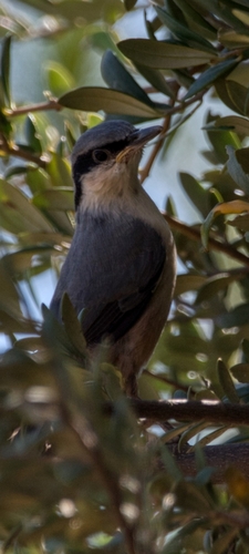
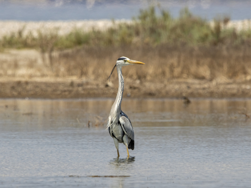
Wildlife & biodiversity
Most-observed species
- Yellow-legged GullLarus michahellis J.F.Naumann, 1840 · Aves636
- Hooded CrowCorvus cornix Linnaeus, 1758 · Aves606
- Little Egret/Western Reef-HeronEgretta garzetta (Linnaeus, 1766) · Aves582
- Eurasian MagpiePica pica (Linnaeus, 1758) · Aves546
- Crested LarkGalerida cristata (Linnaeus, 1758) · Aves504
- Eurasian Collared-DoveStreptopelia decaocto (Frivaldszky, 1838) · Aves500
- House SparrowPasser domesticus (Linnaeus, 1758) · Aves499
- Black-headed GullChroicocephalus ridibundus (Linnaeus, 1766) · Aves480
Citizen-science & research observations from the Global Biodiversity Information Facility (GBIF).
Earthquake history
Photos
Sights & places nearby
Notable people from here

People born within ~10 km, from Wikidata (CC0). Click any name for their Wikipedia article.
Nearby places in Central Greece
- Κλειδί14.6 mi away · pop. 368
- Lamari18.8 mi away
- Stefani20.1 mi away · pop. 222
- Πάνακτο21.3 mi away · pop. 41
- Βάγια33.8 mi away · pop. 3,248
- Leontari35 mi away · pop. 904
- Άγιος Βασίλειος38.4 mi away · pop. 100
- Θίσβη45.7 mi away · pop. 183
- Διόνυσος46.5 mi away
- Αγία Άννα48.6 mi away
- Gialtra54.9 mi away · pop. 666
- Agios Georgios58 mi away
Geography & sun
Elevation, sunrise/sunset and daylight from Open-Meteo. Solar climatology from NASA POWER.
Nearby airports
Public attention
Books about Eretria
Search results from Open Library.
Recent natural events nearby
Ground air-quality sensors
Recently spotted species

Research-grade observations from iNaturalist (within ~15 mi).
Events
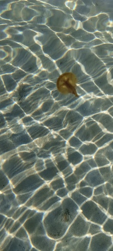
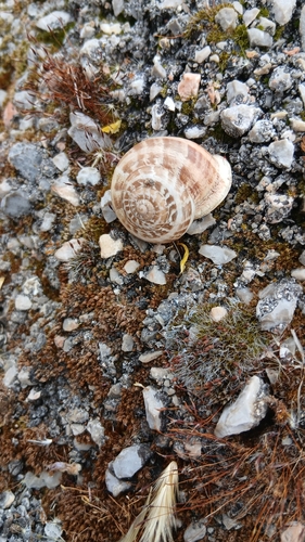
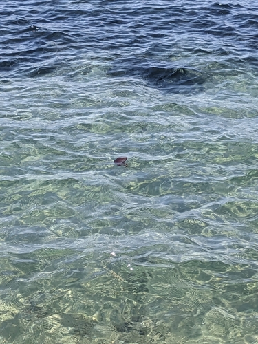
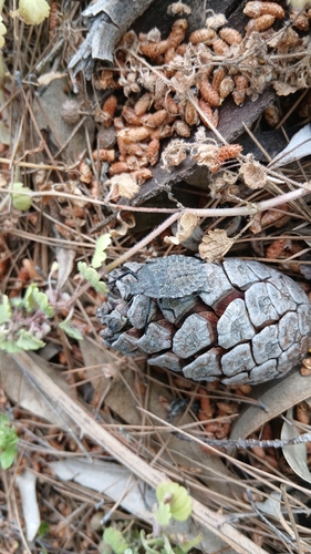
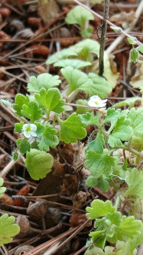
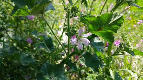
Gallery
Geotagged photos within ~6 miles of Eretria, from Wikimedia Commons contributors.
 0 mi
0 mi 0.1 mi
 0.1 mi
 0.2 mi
 0.2 mi
 0.2 mi
 0.2 mi
 0.2 mi
 0.2 mi
 0.2 mi
 0.2 mi
 0.2 mi
 0.4 mi
 0.4 mi
 0.4 mi
 0.4 mi
 0.4 mi
.jpg) 0.4 mi
0.4 mi.jpg) 0.4 mi
0.4 mi.jpg) 0.4 mi
0.4 mi.jpg) 0.4 mi
0.4 mi 0.4 mi
 0.4 mi
.jpg) 0.4 mi
0.4 miPhotos via Wikimedia Commons — see each image page for license & attribution.
Sources
- • Wikimedia Commons
- • Wikidata
- • Open-Meteo Air Quality (CAMS)
- • GBIF (Global Biodiversity Information Facility)
- • iNaturalist
- • Open-Meteo / sunrise-sunset.org
- • Open Library