Browse / Greece / Eastern Macedonia and Thrace / Feres
Feres
Eastern Macedonia and Thracetown
Total population
5,206
Demographic figures from ELSTAT. Overview below cites Wikipedia and may reference a different year.
City facts
Overview
Set in Eastern Macedonia and Thrace, Greece, Feres is recorded in open geodata as a small town. Feres maps to 40.894°, 26.174° — squarely within the temperate belt. Census-style estimates put the resident count near 5,206. Based on its temperate position, residents likely encounter four distinct seasons with warm summers and cold winters. Open solar datasets indicate about 1,624 kWh/m² of solar irradiance per year, combined with sunshine for roughly 64% of daylight hours. Read on for charts and tables covering demographics, climate, hazards, schools, wildlife and other open-data indicators for Feres.
Summary composed automatically from structured open data on this page. See our Terms for details.
History & geography
Geography
Coordinates & boundaries from the US Census TIGER/Line shapefiles.
Climate
Air quality
Walkability
Amenities nearby
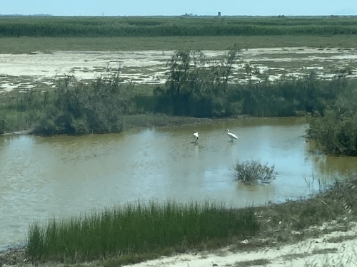
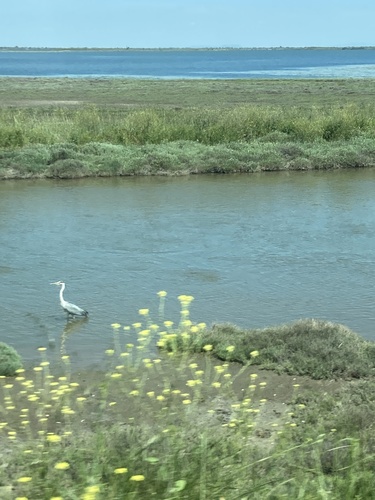
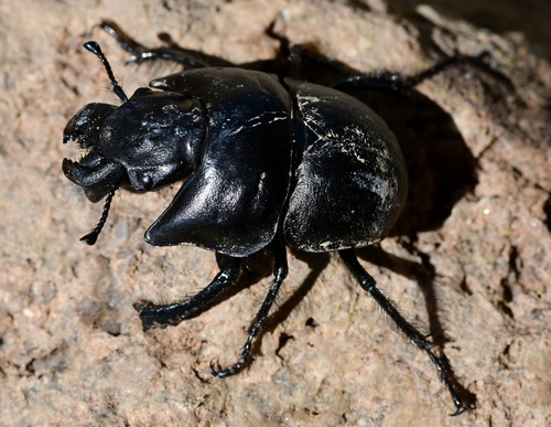
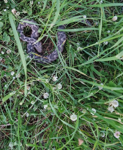
Wildlife & biodiversity
Most-observed species
- Eurasian Marsh-HarrierCircus aeruginosus (Linnaeus, 1758) · Aves750
- Little Egret/Western Reef-HeronEgretta garzetta (Linnaeus, 1766) · Aves686
- corn buntingEmberiza calandra Linnaeus, 1758 · Aves651
- Crested LarkGalerida cristata (Linnaeus, 1758) · Aves648
- Pygmy cormorantMicrocarbo pygmaeus (Pallas, 1773) · Aves601
- Yellow-legged GullLarus michahellis J.F.Naumann, 1840 · Aves594
- Gray/Purple HeronArdea cinerea Linnaeus, 1758 · Aves579
- Great EgretArdea alba Linnaeus, 1758 · Aves563
Citizen-science & research observations from the Global Biodiversity Information Facility (GBIF).
Earthquake history
Most recent
- M 4.2 — 2024-12-1232 km NNW of Eceabat, Turkey
- M 4.2 — 2024-02-2723 km WNW of Biga, Turkey
- M 4.2 — 2023-05-0429 km NNW of Eceabat, Turkey
- M 4.2 — 2022-12-1322 km NW of Biga, Turkey
- M 4.1 — 2019-02-1921 km NW of Biga, Turkey
- M 4.2 — 2015-07-248 km NNW of Eceabat, Turkey
Events from the USGS Earthquake Catalog (global) (FDSN Event Web Service).
Photos
Sights & places nearby
Notable people from here


People born within ~10 km, from Wikidata (CC0). Click any name for their Wikipedia article.
Nearby places in Eastern Macedonia and Thrace
- Kavisos2.2 mi away · pop. 643
- Poros2.6 mi away · pop. 255
- Ardani3.3 mi away · pop. 401
- Doriskos3.5 mi away · pop. 493
- Pylaia3.7 mi away
- Monastiraki4.7 mi away · pop. 307
- Vrysoula4.7 mi away · pop. 271
- Itea5.4 mi away · pop. 130
- Melia5.4 mi away
- Peplos6.4 mi away · pop. 1,083
- Trifylli6.4 mi away
- Loutros6.7 mi away · pop. 1,049
Geography & sun
Elevation, sunrise/sunset and daylight from Open-Meteo. Solar climatology from NASA POWER.
Nearby airports
Public attention
Books about this place
Recent natural events nearby
Ground air-quality sensors
Recently spotted species

Research-grade observations from iNaturalist (within ~15 mi).
Events
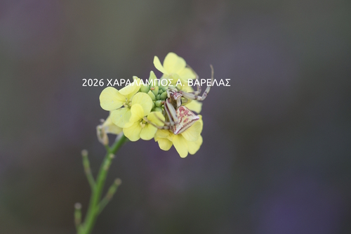
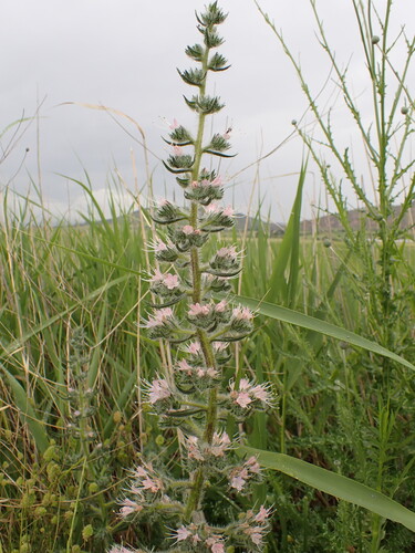
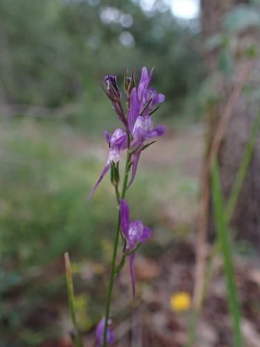
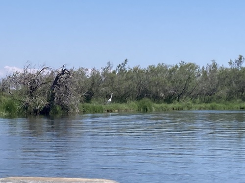
Gallery
Geotagged photos within ~6 miles of Feres, from Wikimedia Commons contributors.
 0.2 mi
 0.2 mi
 0.2 mi
 0.2 mi
 0.2 mi
 0.2 mi
 0.2 mi
 0.2 mi
 0.2 mi
 1.4 mi
 1.4 mi
 1.4 mi
 1.4 mi
 1.4 mi
 1.4 mi
 2.6 mi
 3.9 mi
 3.9 mi
 3.9 mi
 3.9 mi
 3.9 mi
 3.9 mi
 3.9 mi
 5.2 mi
Photos via Wikimedia Commons — see each image page for license & attribution.
Official Identifiers
ELSTAT — Hellenic Statistical Authority
- ELSTAT code
- 0301030101
- Population (Wikidata)
- 4,228
- Wikidata
- Q943354
ELSTAT geographical code via Wikidata P1116
Sources
- • Wikimedia Commons
- • Wikidata
- • USGS Earthquake Catalog (global feed)
- • GBIF (Global Biodiversity Information Facility)
- • iNaturalist
- • Open-Meteo / sunrise-sunset.org
- • ELSTAT — Hellenic Statistical Authority — ELSTAT geographical code via Wikidata P1116