Browse / Greece / Western Greece / Gavalou
Gavalou
Western Greecevillage
Total population
1,386
Air quality index
Demographic figures from ELSTAT. Overview below cites Wikipedia and may reference a different year.
City facts
Overview
Gavalou is a small village that lies in Western Greece, Greece. Located at 38.528°, 21.532°, Gavalou occupies a warm-temperate portion of the northern hemisphere. Population sits at roughly 1,386 according to the open data we track. Climate records indicate average highs near 73.7°F and lows near 57.4°F and about 49.2 in of annual precipitation (a wet total). Solar-resource estimates put the area at about 1,715 kWh/m² of solar irradiance per year with sunshine for roughly 67% of daylight hours. Climatically, locations at this latitude tend to experience warm summers and cool winters. Open-data panels below dive into population trends, climate normals, environmental indicators and nearby places.
Summary composed automatically from structured open data on this page. See our Terms for details.
History & geography
Geography
Coordinates & boundaries from the US Census TIGER/Line shapefiles.
Climate
10-year averages from ERA5 reanalysis (Open-Meteo).
Air quality
Current readings from Open-Meteo Air Quality API (Copernicus CAMS European reanalysis).
Walkability
Amenities nearby
Wildlife & biodiversity
Most-observed species
- House SparrowPasser domesticus (Linnaeus, 1758) · Aves300
- Hooded CrowCorvus cornix Linnaeus, 1758 · Aves266
- Common BuzzardButeo buteo (Linnaeus, 1758) · Aves265
- Eurasian Collared-DoveStreptopelia decaocto (Frivaldszky, 1838) · Aves262
- Great TitParus major Linnaeus, 1758 · Aves254
- Eurasian MagpiePica pica (Linnaeus, 1758) · Aves244
- Common ChaffinchFringilla coelebs Linnaeus, 1758 · Aves218
- Little Egret/Western Reef-HeronEgretta garzetta (Linnaeus, 1766) · Aves215
Citizen-science & research observations from the Global Biodiversity Information Facility (GBIF).
Earthquake history
Most recent
- M 4.2 — 2026-07-017 km ESE of Anávra, Greece
- M 4.3 — 2026-05-257 km NE of Traganón, Greece
- M 4.1 — 2026-04-106 km E of Náfpaktos, Greece
- M 4.3 — 2026-04-0716 km NNE of Náfpaktos, Greece
- M 4.5 — 2026-03-2914 km SSE of Póros, Greece
- M 4 — 2026-03-1212 km SE of Anthiró, Greece
Events from the USGS Earthquake Catalog (global) (FDSN Event Web Service).
Photos
Sights & places nearby
Notable people from here

People born within ~10 km, from Wikidata (CC0). Click any name for their Wikipedia article.
Nearby places in Western Greece
Geography & sun
Elevation, sunrise/sunset and daylight from Open-Meteo. Solar climatology from NASA POWER.
Nearby airports
Public attention
Books about this place
Recent natural events nearby
Ground air-quality sensors
Recently spotted species
Research-grade observations from iNaturalist (within ~15 mi).
Events
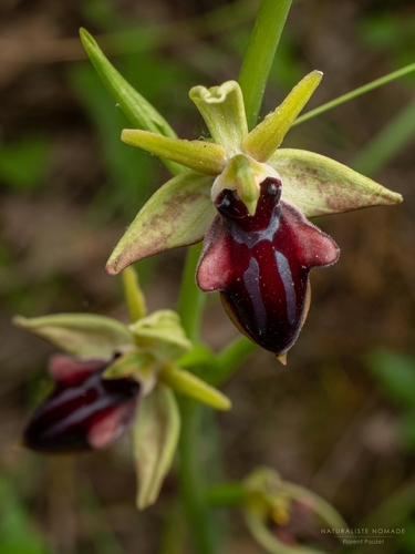
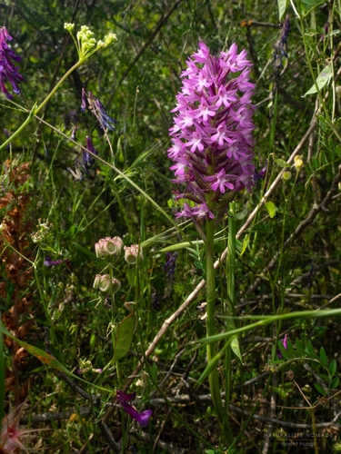
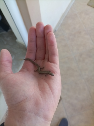
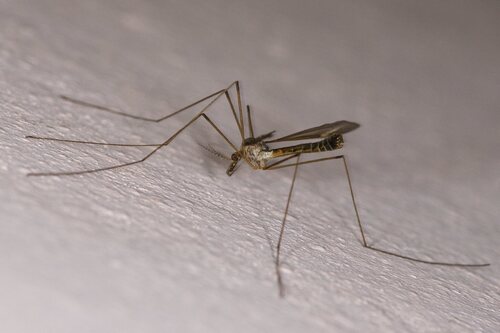
Gallery
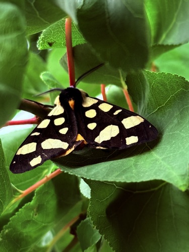
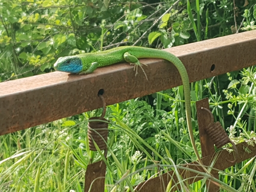
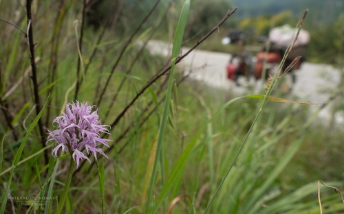
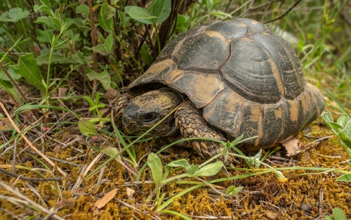
Geotagged photos within ~6 miles of Gavalou, from Wikimedia Commons contributors.
 2.6 mi
 2.6 mi
 2.6 mi
 2.6 mi
 2.6 mi
 2.6 mi
 4.1 mi
 4.1 mi
 4.1 mi
.jpg) 4.2 mi
4.2 mi 4.7 mi
 4.8 mi
 4.8 mi
 4.8 mi
 5.2 mi
 5.2 mi
 5.2 mi
 5.2 mi
 5.2 mi
.jpg) 5.3 mi
5.3 mi 5.4 mi
 5.4 mi
 5.5 mi
 5.5 mi
Photos via Wikimedia Commons — see each image page for license & attribution.
Official Identifiers
ELSTAT — Hellenic Statistical Authority
- ELSTAT code
- 3803050101
- Population (Wikidata)
- 922
- Wikidata
- Q4120007
ELSTAT geographical code via Wikidata P1116
Sources
- • Open-Meteo (ERA5 reanalysis)
- • Wikimedia Commons
- • Wikidata
- • Open-Meteo Air Quality (CAMS)
- • USGS Earthquake Catalog (global feed)
- • GBIF (Global Biodiversity Information Facility)
- • iNaturalist
- • Open-Meteo / sunrise-sunset.org
- • ELSTAT — Hellenic Statistical Authority — ELSTAT geographical code via Wikidata P1116