Browse / Greece / Southern Aegean / Kalavarda
Kalavarda
Southern Aegeanvillage
Total population
1,000
Demographic figures from ELSTAT. Overview below cites Wikipedia and may reference a different year.
City facts
Overview
As a small village in Southern Aegean, Greece, Kalavarda occupies its own corner of the country. The population stands at approximately 1,000. The settlement sits at 36.343°, 27.949°, a warm-temperate location in the northern hemisphere. Based on its warm temperate position, residents likely encounter warm summers and cool winters. The location receives about 1,882 kWh/m² of solar irradiance per year and sunshine for roughly 74% of daylight hours. Continue scrolling for population, climate, environmental and points-of-interest data drawn from public sources.
Summary composed automatically from structured open data on this page. See our Terms for details.
History & geography
Geography
Coordinates & boundaries from the US Census TIGER/Line shapefiles.
Climate
Air quality
Walkability
Amenities nearby
Wildlife & biodiversity
Earthquake history
Photos
Sights & places nearby
Notable people from here
Geography & sun
Elevation, sunrise/sunset and daylight from Open-Meteo. Solar climatology from NASA POWER.
Nearby airports
Public attention
Books about this place
Recent natural events nearby
Ground air-quality sensors
Recently spotted species
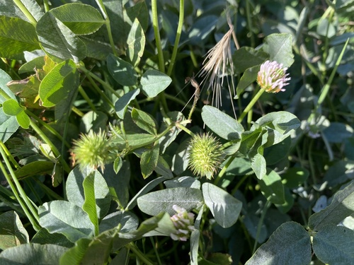
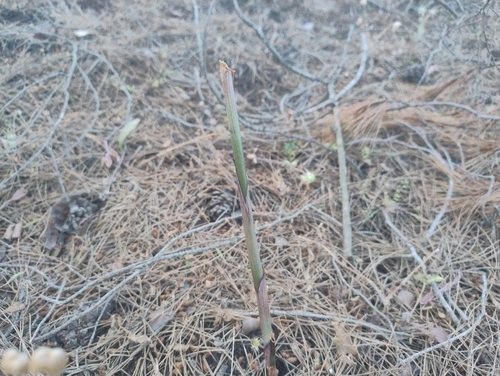
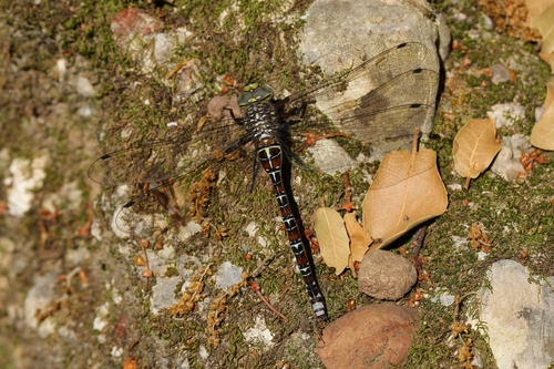
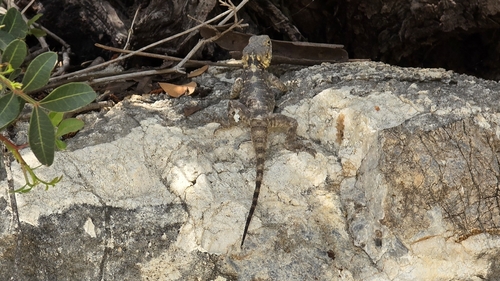


Research-grade observations from iNaturalist (within ~15 mi).
Events
Gallery
Geotagged photos within ~6 miles of Kalavarda, from Wikimedia Commons contributors.
 1.2 mi
 1.2 mi
 1.3 mi
 1.3 mi
.jpg) 1.3 mi
1.3 mi 1.6 mi
 1.6 mi
 1.6 mi
 1.6 mi
 1.6 mi
 1.6 mi
 1.6 mi
 1.6 mi
 1.6 mi
 1.6 mi
 1.6 mi
 1.6 mi
 1.6 mi
 1.6 mi
 1.6 mi
 1.6 mi
 1.6 mi
 1.6 mi
 1.6 mi
Photos via Wikimedia Commons — see each image page for license & attribution.
Official Identifiers
ELSTAT — Hellenic Statistical Authority
- ELSTAT code
- 6901070401
- Population (Wikidata)
- 389
- Wikidata
- Q55830246
ELSTAT geographical code via Wikidata P1116
Sources
- • Wikimedia Commons
- • iNaturalist
- • Open-Meteo / sunrise-sunset.org
- • ELSTAT — Hellenic Statistical Authority — ELSTAT geographical code via Wikidata P1116