Browse / Greece / Central Macedonia / Loutraki
Loutraki
Central Macedoniavillage
Total population
1,163
Air quality index
Demographic figures from ELSTAT. Overview below cites Wikipedia and may reference a different year.
City facts
Overview
Situated in Central Macedonia, Greece, Loutraki is a small village. Census-style estimates put the resident count near 1,163. On the world map it falls within the Eastern Hemisphere, specifically at 40.971°, 21.947°. The location receives about 1,553 kWh/m² of solar irradiance per year and sunshine for roughly 61% of daylight hours. Meteorological summaries report average highs near 66.7°F and lows near 48.2°F, together with about 28 in of annual precipitation (a moderate total). Its latitude implies a climate characterised by four distinct seasons with warm summers and cold winters. Further detail — demographics, climate, nearby amenities and natural-hazard data — is compiled below from public open-data sources.
Summary composed automatically from structured open data on this page. See our Terms for details.
History & geography
Geography
Coordinates & boundaries from the US Census TIGER/Line shapefiles.
Climate
10-year averages from ERA5 reanalysis (Open-Meteo).
Air quality
Current readings from Open-Meteo Air Quality API (Copernicus CAMS European reanalysis).
Walkability
Amenities nearby
Wildlife & biodiversity
Most-observed species
- Common ChaffinchFringilla coelebs Linnaeus, 1758 · Aves83
- Common RavenCorvus corax Linnaeus, 1758 · Aves77
- Common BuzzardButeo buteo (Linnaeus, 1758) · Aves75
- Black RedstartPhoenicurus ochruros (S.G.Gmelin, 1774) · Aves63
- Eurasian KestrelFalco tinnunculus Linnaeus, 1758 · Aves63
- Eurasian LinnetLinaria cannabina (Linnaeus, 1758) · Aves62
- Northern WheatearOenanthe oenanthe (Linnaeus, 1758) · Aves61
- Red-backed ShrikeLanius collurio Linnaeus, 1758 · Aves56
Citizen-science & research observations from the Global Biodiversity Information Facility (GBIF).
Earthquake history
Most recent
- M 4.1 — 2026-02-048 km NE of Mborje, Albania
- M 4.1 — 2026-02-0414 km NW of Bilisht, Albania
- M 2.6 — 2023-05-133 km NW of Vergína, Greece
- M 4.5 — 2022-01-1110 km NNW of Ammochóri, Greece
- M 4.7 — 2022-01-117 km N of Flórina, Greece
- M 4.4 — 2022-01-118 km SE of Bistrica, North Macedonia
Events from the USGS Earthquake Catalog (global) (FDSN Event Web Service).
Photos
Sights & places nearby
Notable people from here


People born within ~10 km, from Wikidata (CC0). Click any name for their Wikipedia article.
Nearby places in Central Macedonia
- Lykostomo2.3 mi away · pop. 395
- Megaplatanos2.5 mi away · pop. 310
- Monastiraki3.5 mi away
- Sarakinoi3.9 mi away
- Dorothea6 mi away · pop. 633
- Garefi6.6 mi away · pop. 736
- Kerasia6.6 mi away · pop. 473
- Agathi6.6 mi away · pop. 32
- Margarita7.6 mi away · pop. 209
- Aloros8 mi away · pop. 464
- Voreino8.1 mi away · pop. 871
- Neochori8.8 mi away · pop. 469
Geography & sun
Elevation, sunrise/sunset and daylight from Open-Meteo. Solar climatology from NASA POWER.
Nearby airports
Public attention
Books about this place
Recent natural events nearby
Ground air-quality sensors
Recently spotted species
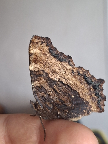
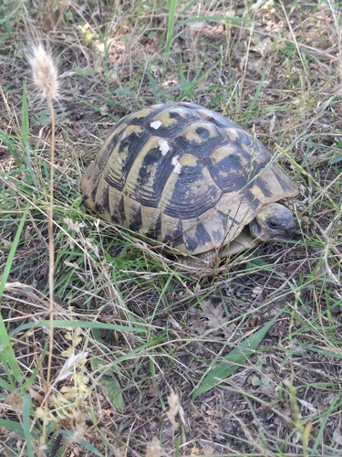
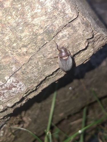
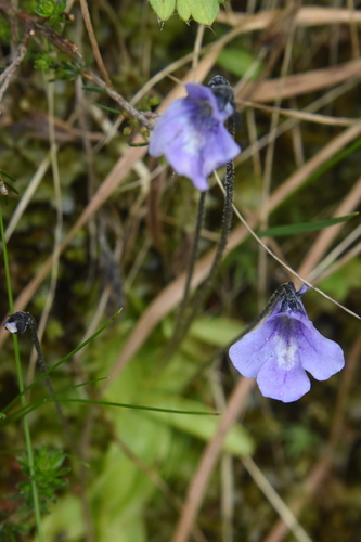
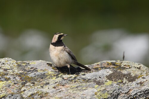
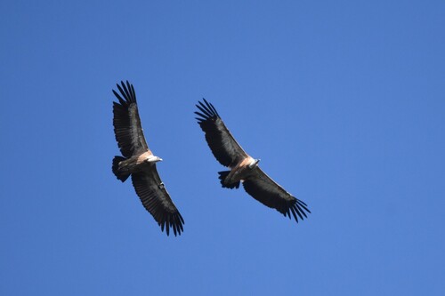
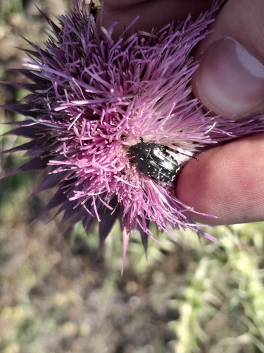
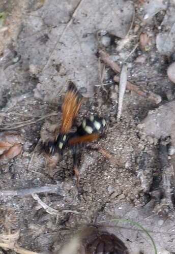
Research-grade observations from iNaturalist (within ~15 mi).
Events
Gallery
Geotagged photos within ~6 miles of Loutraki, from Wikimedia Commons contributors.
 0.2 mi
 0.6 mi
 1.7 mi
 1.7 mi
 1.7 mi
 1.7 mi
 1.8 mi
 1.9 mi
 2.1 mi
 2.1 mi
 2.1 mi
 2.1 mi
 2.1 mi
 2.1 mi
 2.1 mi
 2.1 mi
 2.1 mi
 2.1 mi
 2.1 mi
 2.1 mi
 2.1 mi
 2.1 mi
 3.2 mi
 3.2 mi
Photos via Wikimedia Commons — see each image page for license & attribution.
Sources
- • Open-Meteo (ERA5 reanalysis)
- • Wikimedia Commons
- • Wikidata
- • Open-Meteo Air Quality (CAMS)
- • USGS Earthquake Catalog (global feed)
- • GBIF (Global Biodiversity Information Facility)
- • iNaturalist
- • Open-Meteo / sunrise-sunset.org