Browse / Greece / Western Macedonia / Maniaki
Maniaki
Western Macedoniatown
Total population
3,055
Air quality index
Demographic figures from ELSTAT. Overview below cites Wikipedia and may reference a different year.
City facts
Overview
Set in Western Macedonia, Greece, Maniaki is recorded in open geodata as a town. On the world map it falls within the Eastern Hemisphere, specifically at 40.501°, 21.242°. It is home to roughly 3,055 residents. Long-term weather observations show average highs near 64.5°F and lows near 45.1°F with about 25.1 in of annual precipitation (a moderate total). Open solar datasets indicate about 1,553 kWh/m² of solar irradiance per year, combined with sunshine for roughly 61% of daylight hours. The latitude suggests four distinct seasons with warm summers and cold winters. Read on for charts and tables covering demographics, climate, hazards, schools, wildlife and other open-data indicators for Maniaki.
Summary composed automatically from structured open data on this page. See our Terms for details.
History & geography
Geography
Coordinates & boundaries from the US Census TIGER/Line shapefiles.
Climate
10-year averages from ERA5 reanalysis (Open-Meteo).
Air quality
Current readings from Open-Meteo Air Quality API (Copernicus CAMS European reanalysis).
Walkability
Amenities nearby
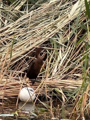
Wildlife & biodiversity
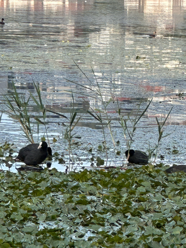
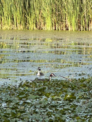
Most-observed species
- Pygmy cormorantMicrocarbo pygmaeus (Pallas, 1773) · Aves418
- Eurasian CootFulica atra Linnaeus, 1758 · Aves416
- Great Crested GrebePodiceps cristatus (Linnaeus, 1758) · Aves406
- MallardAnas platyrhynchos Linnaeus, 1758 · Aves395
- Hooded CrowCorvus cornix Linnaeus, 1758 · Aves389
- Eurasian MagpiePica pica (Linnaeus, 1758) · Aves378
- Great Cormorant/European ShagPhalacrocorax carbo (Linnaeus, 1758) · Aves342
- Eurasian Tree SparrowPasser montanus (Linnaeus, 1758) · Aves331
Citizen-science & research observations from the Global Biodiversity Information Facility (GBIF).
Earthquake history
Most recent
- M 4.4 — 2026-04-241 km WNW of Kalpáki, Greece
- M 4.6 — 2026-04-062 km W of Vounoplagiá, Greece
- M 4.3 — 2026-03-163 km SSW of Asprángeloi, Greece
- M 5.5 — 2026-03-081 km NW of Rodotópi, Greece
- M 4.1 — 2026-02-048 km NE of Mborje, Albania
- M 4.1 — 2026-02-0414 km NW of Bilisht, Albania
Events from the USGS Earthquake Catalog (global) (FDSN Event Web Service).
Photos
Sights & places nearby
Notable people from here


People born within ~10 km, from Wikidata (CC0). Click any name for their Wikipedia article.
Nearby places in Western Macedonia
- Lefki2.3 mi away · pop. 379
- Koromilia3.9 mi away · pop. 342
- Lachanokipoi4 mi away · pop. 105
- Ampelokipi4.3 mi away · pop. 668
- Kremasto4.4 mi away · pop. 9
- Ampelochori5 mi away · pop. 134
- Avgi5 mi away · pop. 159
- Kefalari5 mi away · pop. 353
- Asproneri5.2 mi away · pop. 17
- Lakkomata5.4 mi away · pop. 97
- Militsa5.7 mi away · pop. 371
- Kalochori5.8 mi away · pop. 398
Geography & sun
Elevation, sunrise/sunset and daylight from Open-Meteo. Solar climatology from NASA POWER.
Nearby airports
Public attention
Books about this place
Recent natural events nearby
Ground air-quality sensors
Recently spotted species

Research-grade observations from iNaturalist (within ~15 mi).
Events
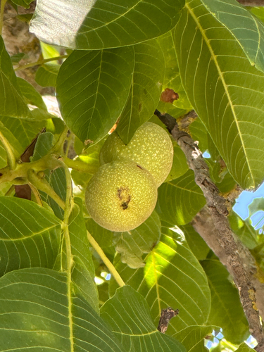
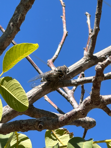
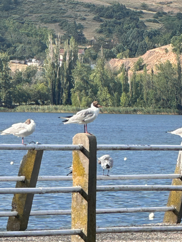
Gallery
Geotagged photos within ~6 miles of Maniaki, from Wikimedia Commons contributors.
 0.3 mi
 0.6 mi
.jpg) 0.6 mi
0.6 mi 0.7 mi
 0.8 mi
 0.8 mi
.jpg) 0.8 mi
0.8 mi.jpg) 0.8 mi
0.8 mi.jpg) 0.8 mi
0.8 mi 0.9 mi
 0.9 mi
.jpg) 0.9 mi
0.9 mi 0.9 mi
 1 mi
1 mi 1 mi
1 mi.jpg) 1 mi
1 mi.jpg) 1 mi
1 mi.jpg) 1.1 mi
1.1 mi 1.1 mi
.jpg) 1.1 mi
1.1 mi 1.2 mi
 1.2 mi
.jpg) 1.2 mi
1.2 mi.jpg) 1.2 mi
1.2 miPhotos via Wikimedia Commons — see each image page for license & attribution.
Sources
- • Open-Meteo (ERA5 reanalysis)
- • Wikimedia Commons
- • Wikidata
- • Open-Meteo Air Quality (CAMS)
- • USGS Earthquake Catalog (global feed)
- • GBIF (Global Biodiversity Information Facility)
- • iNaturalist
- • Open-Meteo / sunrise-sunset.org