Browse / Greece / Western Macedonia / Mesopotamia
Mesopotamia
Western Macedoniatown
Total population
2,099
Air quality index
Demographic figures from ELSTAT. Overview below cites Wikipedia and may reference a different year.
City facts
Overview
Mesopotamia sits in Western Macedonia, Greece and is identified as a town. The settlement sits at 40.505°, 21.157°, a temperate location in the northern hemisphere. Census-style estimates put the resident count near 2,099. Its latitude implies a climate characterised by four distinct seasons with warm summers and cold winters. Open solar datasets indicate about 1,553 kWh/m² of solar irradiance per year, combined with sunshine for roughly 61% of daylight hours. Long-term weather observations show average highs near 65.5°F and lows near 44.5°F with about 26.1 in of annual precipitation (a moderate total). Open-data panels below dive into population trends, climate normals, environmental indicators and nearby places.
Summary composed automatically from structured open data on this page. See our Terms for details.
History & geography
Geography
Coordinates & boundaries from the US Census TIGER/Line shapefiles.
Climate
10-year averages from ERA5 reanalysis (Open-Meteo).
Air quality
Current readings from Open-Meteo Air Quality API (Copernicus CAMS European reanalysis).
Walkability
Amenities nearby
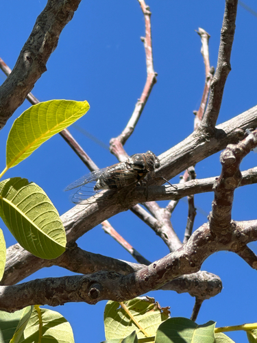
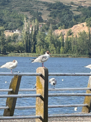
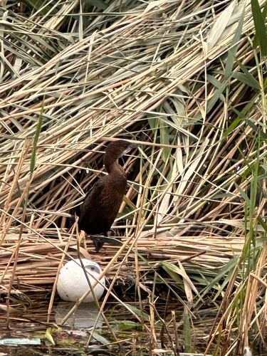
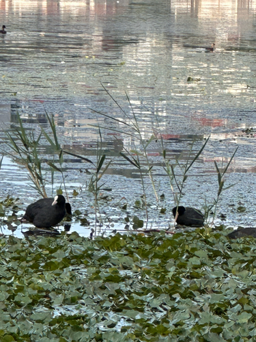
Wildlife & biodiversity
Most-observed species
- Pygmy cormorantMicrocarbo pygmaeus (Pallas, 1773) · Aves418
- Eurasian CootFulica atra Linnaeus, 1758 · Aves416
- Great Crested GrebePodiceps cristatus (Linnaeus, 1758) · Aves406
- MallardAnas platyrhynchos Linnaeus, 1758 · Aves395
- Hooded CrowCorvus cornix Linnaeus, 1758 · Aves390
- Eurasian MagpiePica pica (Linnaeus, 1758) · Aves375
- Great Cormorant/European ShagPhalacrocorax carbo (Linnaeus, 1758) · Aves338
- Mute SwanCygnus olor (J.F.Gmelin, 1789) · Aves328
Citizen-science & research observations from the Global Biodiversity Information Facility (GBIF).
Earthquake history
Most recent
- M 4.4 — 2026-04-241 km WNW of Kalpáki, Greece
- M 4.6 — 2026-04-062 km W of Vounoplagiá, Greece
- M 4.3 — 2026-03-163 km SSW of Asprángeloi, Greece
- M 5.5 — 2026-03-081 km NW of Rodotópi, Greece
- M 4.1 — 2026-02-048 km NE of Mborje, Albania
- M 4.1 — 2026-02-0414 km NW of Bilisht, Albania
Events from the USGS Earthquake Catalog (global) (FDSN Event Web Service).
Photos
Sights & places nearby
Notable people from here


People born within ~10 km, from Wikidata (CC0). Click any name for their Wikipedia article.
Nearby places in Western Macedonia
- Kalochori1.8 mi away · pop. 398
- Koromilia2.4 mi away · pop. 342
- Agia Kyriaki2.4 mi away · pop. 263
- Lefki2.9 mi away · pop. 379
- Avgi4 mi away · pop. 159
- Lachanokipoi5 mi away · pop. 105
- Dendrochori5.5 mi away · pop. 266
- Lakkomata5.7 mi away · pop. 97
- Agia Anna6.2 mi away · pop. 59
- Kremasto6.6 mi away · pop. 9
- Asproneri6.8 mi away · pop. 17
- Kefalari7.4 mi away · pop. 353
Geography & sun
Elevation, sunrise/sunset and daylight from Open-Meteo. Solar climatology from NASA POWER.
Nearby airports
Public attention
Books about Mesopotamia


Search results from Open Library.
Recent natural events nearby
Ground air-quality sensors
Recently spotted species

Research-grade observations from iNaturalist (within ~15 mi).
Events
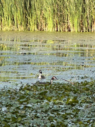
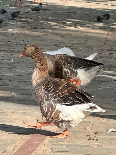
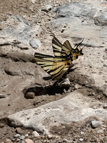
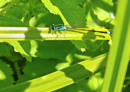
Gallery
Geotagged photos within ~6 miles of Mesopotamia, from Wikimedia Commons contributors.
.jpg) 1.1 mi
1.1 mi.jpg) 1.5 mi
1.5 mi 2.1 mi
.jpg) 2.1 mi
2.1 mi 2.7 mi
 3 mi
3 mi 3 mi
3 mi 3 mi
3 mi 3.3 mi
 3.5 mi
 4.8 mi
 4.9 mi
 4.9 mi
.jpg) 4.9 mi
4.9 mi 4.9 mi
 5 mi
5 mi 5 mi
5 mi.jpg) 5 mi
5 mi.jpg) 5 mi
5 mi 5.1 mi
.jpg) 5.1 mi
5.1 mi 5.1 mi
.jpg) 5.1 mi
5.1 mi.jpg) 5.1 mi
5.1 miPhotos via Wikimedia Commons — see each image page for license & attribution.
Official Identifiers
ELSTAT — Hellenic Statistical Authority
- ELSTAT code
- 2705011401
- Population (Wikidata)
- 324
- Wikidata
- Q21533643
ELSTAT geographical code via Wikidata P1116
Sources
- • Open-Meteo (ERA5 reanalysis)
- • Wikimedia Commons
- • Wikidata
- • Open-Meteo Air Quality (CAMS)
- • USGS Earthquake Catalog (global feed)
- • GBIF (Global Biodiversity Information Facility)
- • iNaturalist
- • Open-Meteo / sunrise-sunset.org
- • Open Library
- • ELSTAT — Hellenic Statistical Authority — ELSTAT geographical code via Wikidata P1116