Browse / Greece / Central Macedonia / Methoni
Methoni
Central Macedoniavillage

Methoni
Total population
996
Air quality index
Demographic figures from ELSTAT. Overview below cites Wikipedia and may reference a different year.
City facts
Overview
Methoni is a village and a former municipality in Pieria regional unit, Greece. Since the 2011 local government reform it is part of the municipality Pydna-Kolindros, of which it is a municipal unit.
Read more on WikipediaHistory & geography
Geography
Coordinates & boundaries from the US Census TIGER/Line shapefiles.
Climate
Air quality
Current readings from Open-Meteo Air Quality API (Copernicus CAMS European reanalysis).
Walkability
Amenities nearby
Wildlife & biodiversity
Earthquake history
Most recent
- M 4.2 — 2025-04-195 km W of Kassándreia, Greece
- M 4 — 2024-12-243 km SW of Néa Poteídaia, Greece
- M 4.1 — 2024-11-117 km W of Néa Poteídaia, Greece
- M 4.6 — 2024-11-035 km WSW of Néa Fókaia, Greece
- M 5.2 — 2024-11-0310 km SW of Néa Poteídaia, Greece
- M 3.9 — 2024-10-319 km WSW of Néa Fókaia, Greece
Events from the USGS Earthquake Catalog (global) (FDSN Event Web Service).
Photos
Sights & places nearby
Notable people from here

People born within ~10 km, from Wikidata (CC0). Click any name for their Wikipedia article.
Nearby places in Central Macedonia
- Alonia4.4 mi away · pop. 700
- Koukkos5.7 mi away · pop. 335
- Kolindros6 mi away · pop. 3,629
- Paliampela6.3 mi away · pop. 266
- Kastania7.2 mi away · pop. 249
- Kleidi8.4 mi away · pop. 1,347
- Nea Trapezounta8.4 mi away · pop. 553
- Trilofos8.6 mi away · pop. 521
- Livadi8.7 mi away
- Prasinada8.9 mi away · pop. 366
- Kypseli9 mi away · pop. 437
- Kydonia9.5 mi away
Geography & sun
Elevation, sunrise/sunset and daylight from Open-Meteo. Solar climatology from NASA POWER.
Nearby airports
Public attention
Pageview totals from the Wikimedia Pageviews API.
Books about this place
Recent natural events nearby
Ground air-quality sensors
Recently spotted species
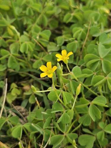
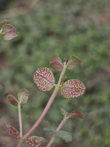
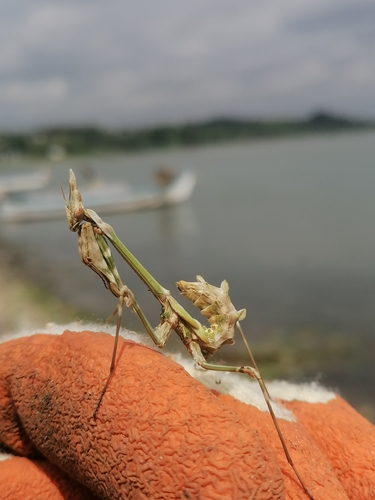
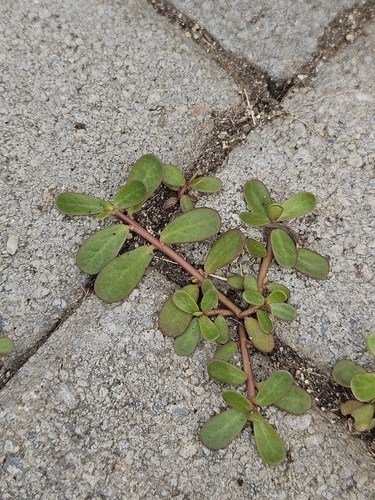
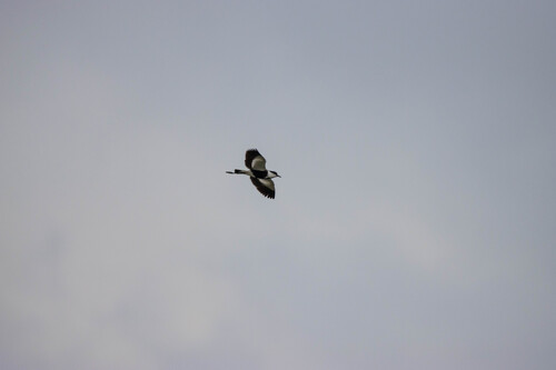
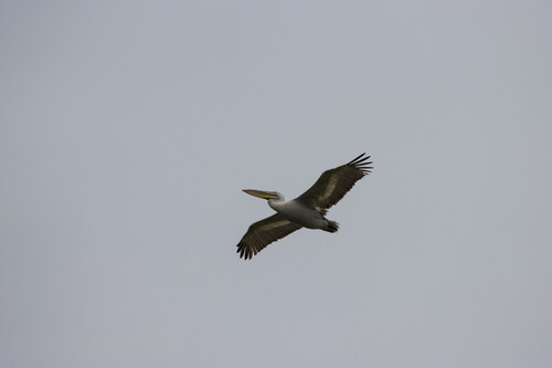
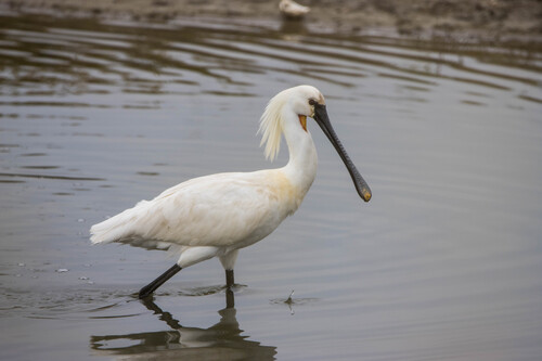
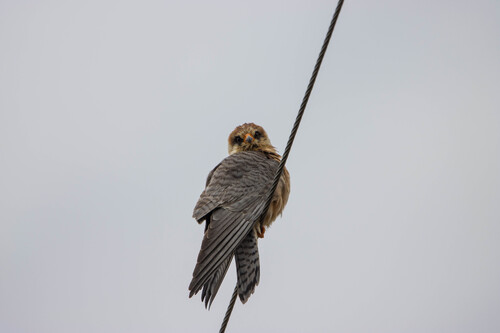
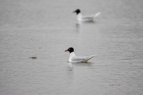
Research-grade observations from iNaturalist (within ~15 mi).
Events
Gallery
Geotagged photos within ~6 miles of Methoni, from Wikimedia Commons contributors.
 0.7 mi
 2.4 mi
 2.5 mi
.jpg) 2.5 mi
2.5 mi 3.3 mi
 3.7 mi
 3.7 mi
 3.7 mi
 5.3 mi
.jpg) 5.3 mi
5.3 mi 5.4 mi
.jpg) 5.4 mi
5.4 mi.jpg) 5.4 mi
5.4 mi.jpg) 5.5 mi
5.5 mi 5.5 mi
 5.6 mi
 5.6 mi
 5.6 mi
 5.9 mi
 5.9 mi
 6 mi
6 miPhotos via Wikimedia Commons — see each image page for license & attribution.
Sources
- • Wikipedia
- • Wikimedia Commons
- • Wikidata
- • Open-Meteo Air Quality (CAMS)
- • USGS Earthquake Catalog (global feed)
- • iNaturalist
- • Open-Meteo / sunrise-sunset.org
- • Wikipedia Pageviews API