Browse / Greece / Attica / Nea Makri
Nea Makri
Atticatown

Nea Makri
Total population
13,986
Air quality index
Demographic figures from ELSTAT. Overview below cites Wikipedia and may reference a different year.
City facts
Facts from Wikidata (CC0).
Overview
Nea Makri is a town in East Attica, Greece. Since the local government reform of 2011, it has been a municipal unit within the municipality of Marathon. The municipal unit has an area of 36.662 km2. It is part of the Athens metropolitan area.
Read more on WikipediaHistory & geography
History
The area was once known as Plesti, but following the 1922 Greek military disaster in Asia Minor and the subsequent expulsion of the native Greeks of Makri in Turkey, it was renamed Nea Makri (New Makri) by the refugees who settled there. The United States Navy operated a HF radio communications base north of Nea Makri from the mid to the late 20th century. The transmitters were located further north, at Kato Souli. The call sign of the station was NGR. The American naval communications station was the deployment location for Naval Mobile Construction Battalion 133, home-ported in Gulfport, MS. Saint Ephraim the martyr was a monk who may have lived in the Monastery of the Annunciation in Nea Makri; it has become an important monastery in recent years and has become a site of pilgrimage for all Greeks.
Geography
Nea Makri is situated on the coast of the Petalioi Gulf, a gulf of the Aegean Sea, in the easternmost part of the Attica peninsula. It is 7 km north of Rafina, 8 km south of Marathon and 25 km northeast of Athens city centre. The municipal unit Nea Makri also contains the village Neos Voutzas, 5 km south of Nea Makri town centre. Greek National Road 83 (Athens - Marathon - Rafina) passes through Nea Makri. Popular locations near Nea Makri include Zoumberi Beach and the Brexiza Wetland. It is widely known and visited due to its beaches and coastline.
Excerpted from the corresponding Wikipedia article (CC BY-SA).
Geography
Coordinates & boundaries from the US Census TIGER/Line shapefiles.
Climate
10-year averages from ERA5 reanalysis (Open-Meteo).
Air quality
Current readings from Open-Meteo Air Quality API (Copernicus CAMS European reanalysis).
Walkability
Amenities nearby
Wildlife & biodiversity
Most-observed species
- Eurasian MagpiePica pica (Linnaeus, 1758) · Aves3,842
- House SparrowPasser domesticus (Linnaeus, 1758) · Aves2,848
- Eurasian Collared-DoveStreptopelia decaocto (Frivaldszky, 1838) · Aves2,740
- Sardinian WarblerCurruca melanocephala (J.F.Gmelin, 1789) · Aves2,607
- Yellow-legged GullLarus michahellis J.F.Naumann, 1840 · Aves2,541
- Great TitParus major Linnaeus, 1758 · Aves2,484
- Eurasian BlackbirdTurdus merula Linnaeus, 1758 · Aves2,208
- Rock PigeonColumba livia J.F.Gmelin, 1789 · Aves2,136
Citizen-science & research observations from the Global Biodiversity Information Facility (GBIF).
Earthquake history
Photos
Sights & places nearby
Notable people from here


People born within ~10 km, from Wikidata (CC0). Click any name for their Wikipedia article.
Nearby places in Attica
- Rafina4.6 mi away · pop. 11,909
- Marathon4.9 mi away · pop. 8,882
- Kato Souli5.8 mi away
- Pikermi6 mi away · pop. 2,931
- Ano Souli6.9 mi away
- Avra7.3 mi away
- Εφέδρων - Αναγέννηση7.3 mi away
- Artemida7.7 mi away · pop. 17,391
- Grammatiko8.3 mi away · pop. 1,291
- Spata9.1 mi away · pop. 7,738
- Varnavas10.2 mi away · pop. 1,415
- Stathmos Afidnon10.3 mi away
Geography & sun
Elevation, sunrise/sunset and daylight from Open-Meteo. Solar climatology from NASA POWER.
Nearby airports
Public attention
Pageview totals from the Wikimedia Pageviews API.
Books about this place
Recent natural events nearby
Ground air-quality sensors
Recently spotted species
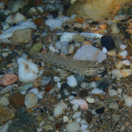

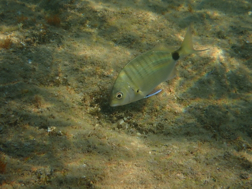
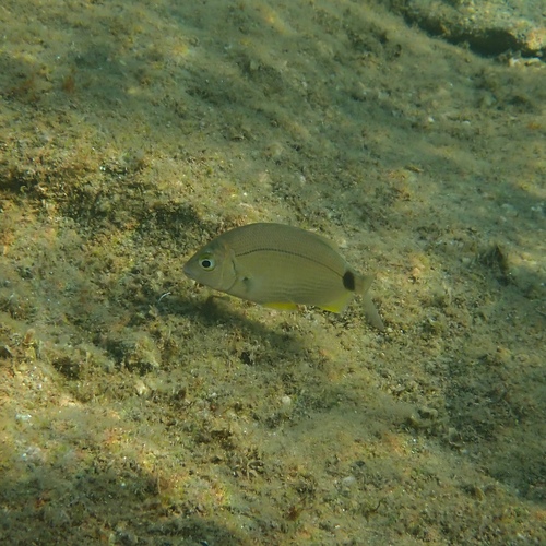
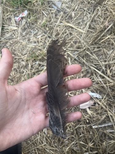
Research-grade observations from iNaturalist (within ~15 mi).
Events
Gallery
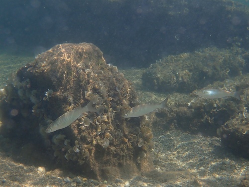
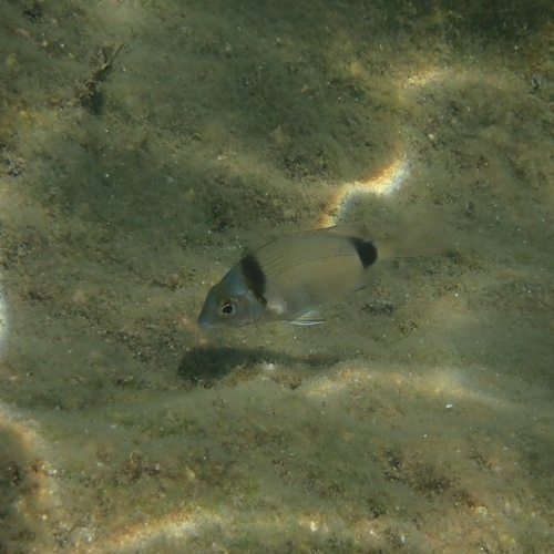
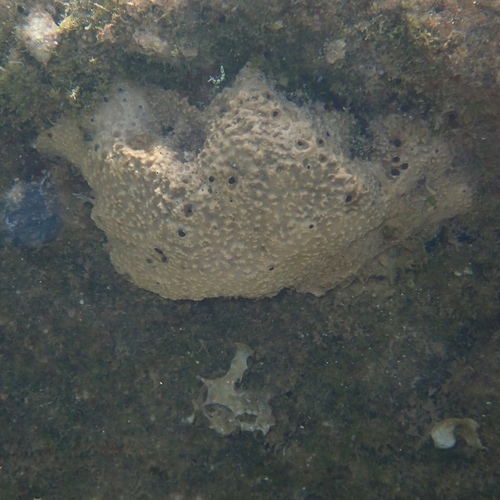
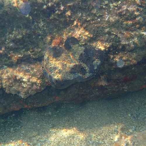
Geotagged photos within ~6 miles of Nea Makri, from Wikimedia Commons contributors.
 0.4 mi
 0.4 mi
 0.4 mi
 0.4 mi
 0.4 mi
 0.4 mi
 0.4 mi
 0.4 mi
 0.4 mi
 0.4 mi
 0.4 mi
 0.4 mi
 0.4 mi
 0.4 mi
 0.4 mi
 0.4 mi
 0.4 mi
 0.4 mi
 0.4 mi
 0.4 mi
 0.4 mi
 0.4 mi
 0.4 mi
 0.4 mi
Photos via Wikimedia Commons — see each image page for license & attribution.
Official Identifiers
ELSTAT — Hellenic Statistical Authority
- ELSTAT code
- 4906040101
- Population (Wikidata)
- 829
- Wikidata
- Q2292363
ELSTAT geographical code via Wikidata P1116
Sources
- • Wikipedia
- • Open-Meteo (ERA5 reanalysis)
- • Wikimedia Commons
- • Wikidata
- • Open-Meteo Air Quality (CAMS)
- • GBIF (Global Biodiversity Information Facility)
- • iNaturalist
- • Open-Meteo / sunrise-sunset.org
- • Wikipedia Pageviews API
- • ELSTAT — Hellenic Statistical Authority — ELSTAT geographical code via Wikidata P1116