Browse / Greece / Eastern Macedonia and Thrace / Nikisiani
Nikisiani
Eastern Macedonia and Thracetown
Total population
2,451
Air quality index
Demographic figures from ELSTAT. Overview below cites Wikipedia and may reference a different year.
City facts
Overview
Within Eastern Macedonia and Thrace, Greece, Nikisiani stands as a town. Population sits at roughly 2,451 according to the open data we track. On the world map it falls within the Eastern Hemisphere, specifically at 40.949°, 24.142°. The location receives about 1,610 kWh/m² of solar irradiance per year and sunshine for roughly 63% of daylight hours. Climate records indicate average highs near 67.1°F and lows near 51.1°F and about 38.9 in of annual precipitation (a moderate total). The latitude suggests four distinct seasons with warm summers and cold winters. Further detail — demographics, climate, nearby amenities and natural-hazard data — is compiled below from public open-data sources.
Summary composed automatically from structured open data on this page. See our Terms for details.
History & geography
Geography
Coordinates & boundaries from the US Census TIGER/Line shapefiles.
Climate
10-year averages from ERA5 reanalysis (Open-Meteo).
Air quality
Current readings from Open-Meteo Air Quality API (Copernicus CAMS European reanalysis).
Walkability
Amenities nearby
Wildlife & biodiversity
Most-observed species
- Common ChaffinchFringilla coelebs Linnaeus, 1758 · Aves100
- House SparrowPasser domesticus (Linnaeus, 1758) · Aves84
- Great TitParus major Linnaeus, 1758 · Aves76
- Eurasian Collared-DoveStreptopelia decaocto (Frivaldszky, 1838) · Aves66
- Hooded CrowCorvus cornix Linnaeus, 1758 · Aves64
- Eurasian BlackbirdTurdus merula Linnaeus, 1758 · Aves61
- Barn SwallowHirundo rustica Linnaeus, 1758 · Aves56
- Common ChiffchaffPhylloscopus collybita (Vieillot, 1817) · Aves52
Citizen-science & research observations from the Global Biodiversity Information Facility (GBIF).
Earthquake history
Most recent
- M 4.9 — 2026-03-257 km E of Ouranoupolis, Greece
- M 4.3 — 2025-11-1310 km SSE of Ouranoupolis, Greece
- M 4.2 — 2025-11-0510 km NW of Xánthi, Greece
- M 4.9 — 2025-09-2210 km WNW of Karyes, Greece
- M 4.1 — 2025-08-126 km WNW of Karyes, Greece
- M 4.4 — 2025-06-105 km ENE of Ouranoupolis, Greece
Events from the USGS Earthquake Catalog (global) (FDSN Event Web Service).
Photos
Sights & places nearby
Notable people from here

People born within ~10 km, from Wikidata (CC0). Click any name for their Wikipedia article.
Nearby places in Eastern Macedonia and Thrace
- Georgiani0.7 mi away
- Palaiochori1.9 mi away · pop. 1,607
- Antifilippoi3.5 mi away · pop. 1,073
- Agia Paraskevi5 mi away · pop. 501
- Melissokomeio5.5 mi away
- Avli5.6 mi away
- Kalamonas5.7 mi away · pop. 509
- Moustheni6.2 mi away
- Panagia6.3 mi away
- Melissa6.5 mi away
- Karavangelis6.8 mi away
- Exochi6.9 mi away · pop. 173
Geography & sun
Elevation, sunrise/sunset and daylight from Open-Meteo. Solar climatology from NASA POWER.
Nearby airports
Public attention
Books about this place
Recent natural events nearby
Ground air-quality sensors
Recently spotted species
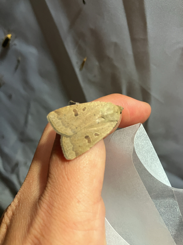
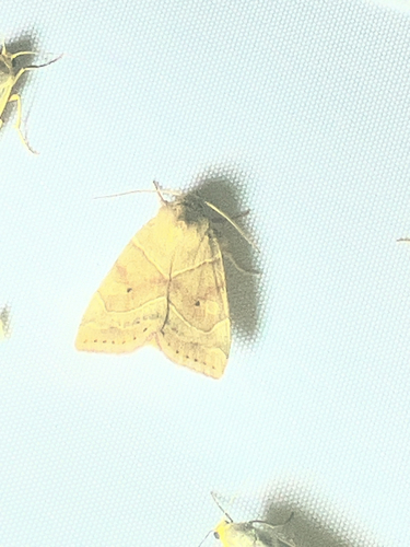

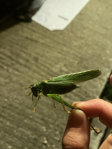
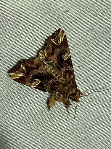
Research-grade observations from iNaturalist (within ~15 mi).
Events
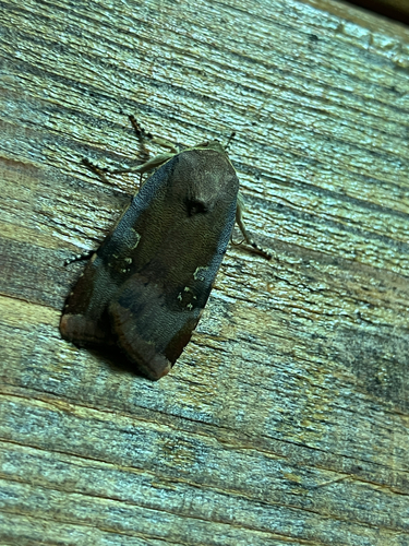
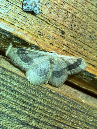
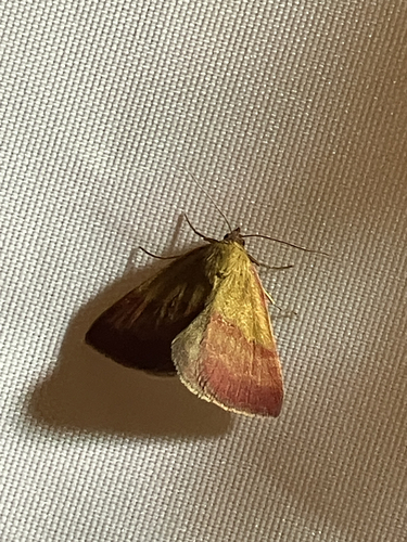
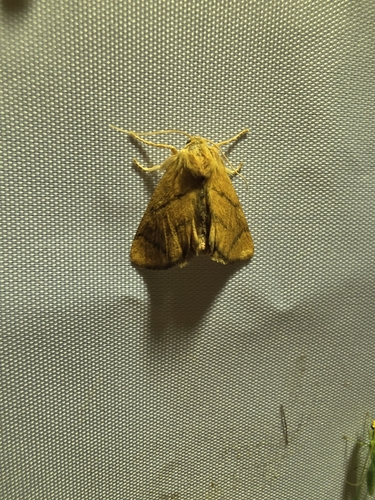
Gallery
Geotagged photos within ~6 miles of Nikisiani, from Wikimedia Commons contributors.
 0.8 mi
 0.8 mi
 0.8 mi
 0.8 mi
 0.8 mi
 0.8 mi
 0.8 mi
 0.8 mi
 0.8 mi
 0.8 mi
 0.8 mi
 0.8 mi
 0.8 mi
 0.8 mi
 0.8 mi
 0.8 mi
 0.8 mi
 0.8 mi
 2.3 mi
 2.3 mi
 2.3 mi
 2.3 mi
 2.3 mi
 2.3 mi
Photos via Wikimedia Commons — see each image page for license & attribution.
Official Identifiers
ELSTAT — Hellenic Statistical Authority
- ELSTAT code
- 0503040101
- Population (Wikidata)
- 1,701
- Wikidata
- Q3395942
ELSTAT geographical code via Wikidata P1116
Sources
- • Open-Meteo (ERA5 reanalysis)
- • Wikimedia Commons
- • Wikidata
- • Open-Meteo Air Quality (CAMS)
- • USGS Earthquake Catalog (global feed)
- • GBIF (Global Biodiversity Information Facility)
- • iNaturalist
- • Open-Meteo / sunrise-sunset.org
- • ELSTAT — Hellenic Statistical Authority — ELSTAT geographical code via Wikidata P1116