Browse / Greece / Thessaly / Omorfochori
Omorfochori
Thessalyvillage
Total population
730
Air quality index
Demographic figures from ELSTAT. Overview below cites Wikipedia and may reference a different year.
City facts
Overview
Omorfochori is a small village that lies in Thessaly, Greece. On the world map it falls within the Eastern Hemisphere, specifically at 39.675°, 22.477°. Population sits at roughly 730 according to the open data we track. The location receives about 1,605 kWh/m² of solar irradiance per year and sunshine for roughly 63% of daylight hours. Its latitude implies a climate characterised by warm summers and cool winters. The remainder of this page draws on open public data to describe the area's demographics, climate, environment and nearby amenities.
Summary composed automatically from structured open data on this page. See our Terms for details.
History & geography
Geography
Coordinates & boundaries from the US Census TIGER/Line shapefiles.
Climate
Air quality
Current readings from Open-Meteo Air Quality API (Copernicus CAMS European reanalysis).
Walkability
Amenities nearby
Wildlife & biodiversity
Most-observed species
- Eurasian KestrelFalco tinnunculus Linnaeus, 1758 · Aves659
- Eurasian MagpiePica pica (Linnaeus, 1758) · Aves527
- Lesser KestrelFalco naumanni J.G.Fleischer, 1818 · Aves387
- Eurasian Collared-DoveStreptopelia decaocto (Frivaldszky, 1838) · Aves287
- Hooded CrowCorvus cornix Linnaeus, 1758 · Aves229
- Rock PigeonColumba livia J.F.Gmelin, 1789 · Aves227
- House SparrowPasser domesticus (Linnaeus, 1758) · Aves195
- European StarlingSturnus vulgaris Linnaeus, 1758 · Aves185
Citizen-science & research observations from the Global Biodiversity Information Facility (GBIF).
Earthquake history
Most recent
- M 4.8 — 2026-04-286 km NW of Skiáthos, Greece
- M 4.7 — 2026-04-287 km NW of Skiáthos, Greece
- M 4 — 2026-03-1212 km SE of Anthiró, Greece
- M 4.6 — 2026-03-1213 km WSW of Morfovoúni, Greece
- M 4.4 — 2026-02-145 km W of Néon Monastírion, Greece
- M 4.9 — 2026-01-101 km E of Domokós, Greece
Events from the USGS Earthquake Catalog (global) (FDSN Event Web Service).
Photos
Sights & places nearby
Notable people from here


People born within ~10 km, from Wikidata (CC0). Click any name for their Wikipedia article.
Nearby places in Thessaly
- Melissochori3.2 mi away · pop. 770
- Dasochori3.3 mi away · pop. 698
- Yirtoni5.8 mi away · pop. 74
- Glafki6.8 mi away · pop. 800
- Dendra7.4 mi away · pop. 491
- Terpsithea7.7 mi away · pop. 1,290
- Vryotopos8 mi away · pop. 560
- Chalki8.1 mi away · pop. 1,805
- Dimitra8.3 mi away · pop. 315
- Namata8.6 mi away · pop. 105
- Pournari8.7 mi away · pop. 616
- Makrichori9 mi away · pop. 1,787
Geography & sun
Elevation, sunrise/sunset and daylight from Open-Meteo. Solar climatology from NASA POWER.
Nearby airports
Public attention
Books about this place
Recent natural events nearby
Ground air-quality sensors
Recently spotted species

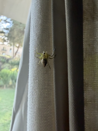
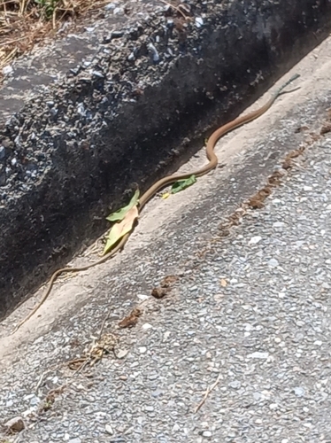
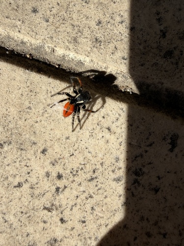
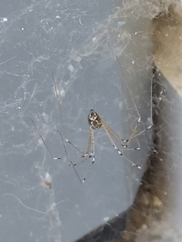
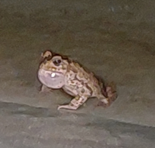
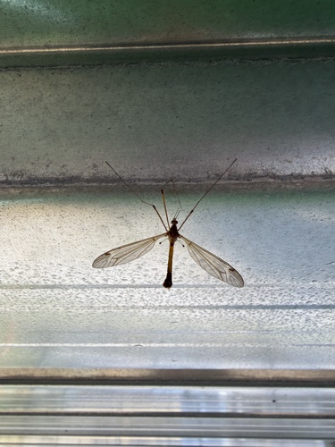
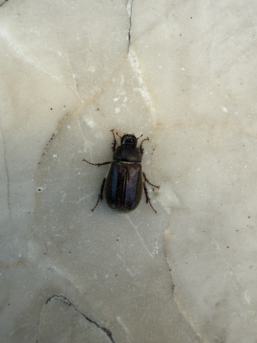
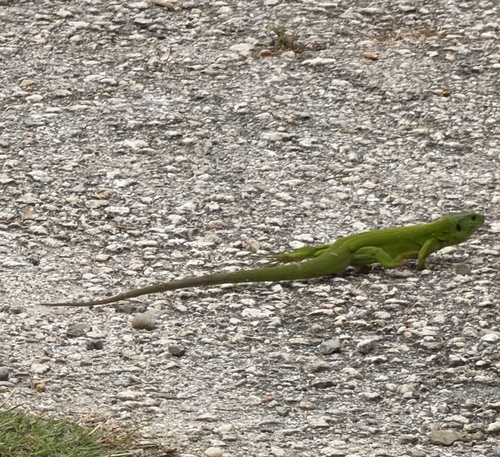
Research-grade observations from iNaturalist (within ~15 mi).
Events
Gallery
Geotagged photos within ~6 miles of Omorfochori, from Wikimedia Commons contributors.
 2.1 mi
 2.1 mi
 2.5 mi
 2.7 mi
.jpg) 3.3 mi
3.3 mi.jpg) 3.4 mi
3.4 mi.jpg) 3.4 mi
3.4 mi 3.5 mi
 3.6 mi
.jpg) 3.6 mi
3.6 mi.jpg) 3.6 mi
3.6 mi 3.8 mi
 3.8 mi
 3.8 mi
 3.9 mi
 3.9 mi
 3.9 mi
 3.9 mi
 3.9 mi
 3.9 mi
 3.9 mi
 3.9 mi
 3.9 mi
 3.9 mi
Photos via Wikimedia Commons — see each image page for license & attribution.
Official Identifiers
ELSTAT — Hellenic Statistical Authority
- ELSTAT code
- 2204050801
- Population (Wikidata)
- 651
- Wikidata
- Q21501261
ELSTAT geographical code via Wikidata P1116
Sources
- • Wikimedia Commons
- • Wikidata
- • Open-Meteo Air Quality (CAMS)
- • USGS Earthquake Catalog (global feed)
- • GBIF (Global Biodiversity Information Facility)
- • iNaturalist
- • Open-Meteo / sunrise-sunset.org
- • ELSTAT — Hellenic Statistical Authority — ELSTAT geographical code via Wikidata P1116