Browse / Greece / Peloponnese / Papadianika
Papadianika
Peloponnesevillage
Total population
1,619
Air quality index
Demographic figures from ELSTAT. Overview below cites Wikipedia and may reference a different year.
City facts
Overview
Papadianika, a village in Peloponnese, Greece, forms part of the country's settled landscape. Located at 36.715°, 22.861°, Papadianika occupies a warm-temperate portion of the northern hemisphere. Population sits at roughly 1,619 according to the open data we track. Local weather statistics describe average highs near 72.4°F and lows near 59.1°F, alongside about 23.4 in of annual precipitation (a relatively dry total). Climatically, locations at this latitude tend to experience warm summers and cool winters. Open solar datasets indicate about 1,811 kWh/m² of solar irradiance per year, combined with sunshine for roughly 71% of daylight hours. The sections below expand on demographics, weather, terrain, hazards and nearby points of interest using publicly available datasets.
Summary composed automatically from structured open data on this page. See our Terms for details.
History & geography
Geography
Coordinates & boundaries from the US Census TIGER/Line shapefiles.
Climate
10-year averages from ERA5 reanalysis (Open-Meteo).
Air quality
Current readings from Open-Meteo Air Quality API (Copernicus CAMS European reanalysis).
Walkability
Amenities nearby
Wildlife & biodiversity
Most-observed species
- House SparrowPasser domesticus (Linnaeus, 1758) · Aves98
- Squirting CucumberEcballium elaterium (L.) A.Rich. · Magnoliopsida68
- Sardinian WarblerCurruca melanocephala (J.F.Gmelin, 1789) · Aves66
- Western Rock NuthatchSitta neumayer Michahelles, 1830 · Aves65
- Blue Rock-ThrushMonticola solitarius (Linnaeus, 1758) · Aves55
- Yellow-legged GullLarus michahellis J.F.Naumann, 1840 · Aves55
- Mastic TreePistacia lentiscus L. · Magnoliopsida42
- Yellow Horned PoppyGlaucium flavum Crantz · Magnoliopsida40
Citizen-science & research observations from the Global Biodiversity Information Facility (GBIF).
Earthquake history
Photos
Sights & places nearby
Notable people from here


People born within ~10 km, from Wikidata (CC0). Click any name for their Wikipedia article.
Nearby places in Peloponnese
- Finiki2.7 mi away · pop. 411
- Elia4.1 mi away · pop. 421
- Agios Dimitrios4.3 mi away · pop. 182
- Velies4.8 mi away · pop. 466
- Demonia5 mi away · pop. 342
- Sykia5.6 mi away · pop. 928
- Molai6.2 mi away · pop. 2,560
- Agios Nikolaos6.2 mi away · pop. 143
- Angelona6.4 mi away · pop. 454
- Metamorfosi6.9 mi away · pop. 559
- Elika7.4 mi away · pop. 449
- Lira7.7 mi away · pop. 119
Geography & sun
Elevation, sunrise/sunset and daylight from Open-Meteo. Solar climatology from NASA POWER.
Nearby airports
Public attention
Books about this place
Recent natural events nearby
Ground air-quality sensors
Recently spotted species
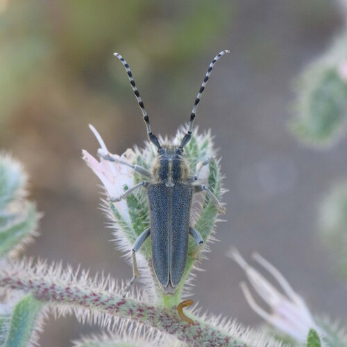
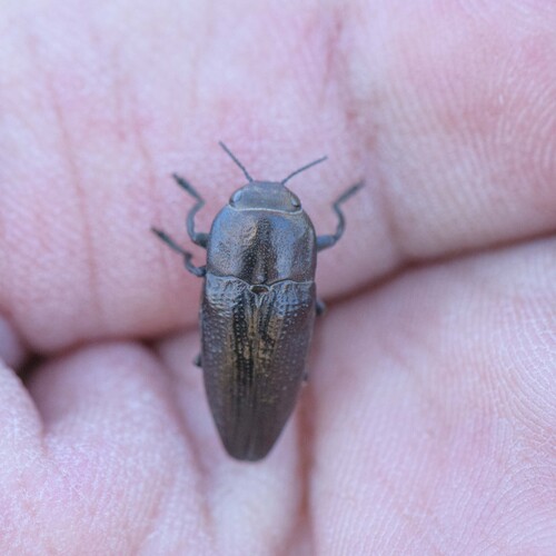
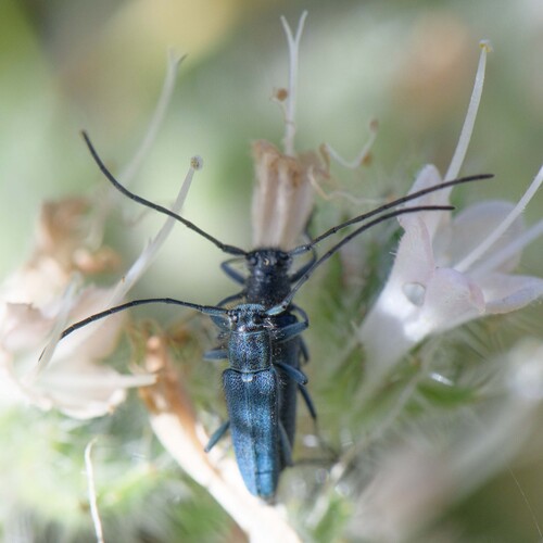
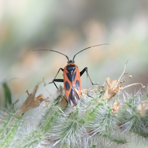

Research-grade observations from iNaturalist (within ~15 mi).
Events
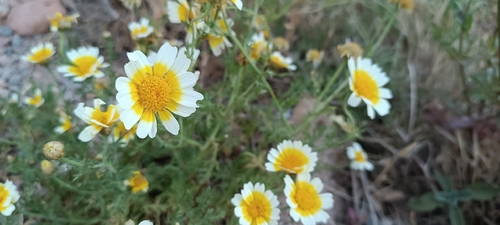
Gallery
Geotagged photos within ~6 miles of Papadianika, from Wikimedia Commons contributors.
 2.3 mi
 2.4 mi
 2.4 mi
 2.4 mi
 2.4 mi
 2.4 mi
 2.4 mi
 2.4 mi
 2.4 mi
 2.4 mi
 2.4 mi
 2.7 mi
 3.6 mi
 3.6 mi
 3.6 mi
 3.6 mi
 3.6 mi
 3.6 mi
 3.6 mi
 3.6 mi
 4.1 mi
 4.3 mi
 4.5 mi
 4.5 mi
Photos via Wikimedia Commons — see each image page for license & attribution.
Official Identifiers
ELSTAT — Hellenic Statistical Authority
- ELSTAT code
- 4305020101
- Population (Wikidata)
- 1,395
- Wikidata
- Q21601186
ELSTAT geographical code via Wikidata P1116
Sources
- • Open-Meteo (ERA5 reanalysis)
- • Wikimedia Commons
- • Wikidata
- • Open-Meteo Air Quality (CAMS)
- • GBIF (Global Biodiversity Information Facility)
- • iNaturalist
- • Open-Meteo / sunrise-sunset.org
- • ELSTAT — Hellenic Statistical Authority — ELSTAT geographical code via Wikidata P1116