Browse / Greece / Thessaly / Sykourio
Sykourio
Thessalytown
Total population
2,379
Air quality index
Demographic figures from ELSTAT. Overview below cites Wikipedia and may reference a different year.
City facts
Overview
Sykourio is a town that lies in Thessaly, Greece. On the world map it falls within the Eastern Hemisphere, specifically at 39.761°, 22.579°. Census-style estimates put the resident count near 2,379. The latitude suggests warm summers and cool winters. Solar-resource estimates put the area at about 1,605 kWh/m² of solar irradiance per year with sunshine for roughly 63% of daylight hours. The sections below expand on demographics, weather, terrain, hazards and nearby points of interest using publicly available datasets.
Summary composed automatically from structured open data on this page. See our Terms for details.
History & geography
Geography
Coordinates & boundaries from the US Census TIGER/Line shapefiles.
Climate
Air quality
Current readings from Open-Meteo Air Quality API (Copernicus CAMS European reanalysis).
Walkability
Amenities nearby
Wildlife & biodiversity
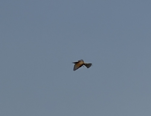
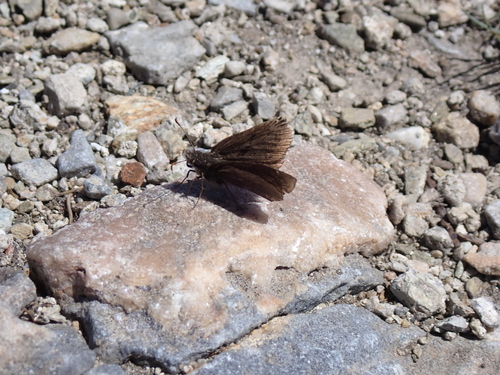
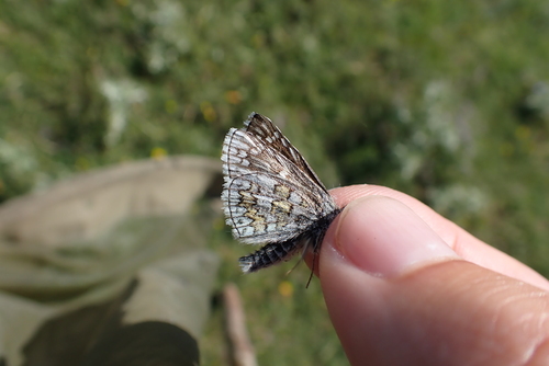
Most-observed species
- Eurasian KestrelFalco tinnunculus Linnaeus, 1758 · Aves638
- Eurasian MagpiePica pica (Linnaeus, 1758) · Aves496
- Lesser KestrelFalco naumanni J.G.Fleischer, 1818 · Aves311
- Eurasian Collared-DoveStreptopelia decaocto (Frivaldszky, 1838) · Aves278
- Hooded CrowCorvus cornix Linnaeus, 1758 · Aves222
- Rock PigeonColumba livia J.F.Gmelin, 1789 · Aves207
- House SparrowPasser domesticus (Linnaeus, 1758) · Aves185
- Eurasian HoopoeUpupa epops Linnaeus, 1758 · Aves172
Citizen-science & research observations from the Global Biodiversity Information Facility (GBIF).
Earthquake history
Most recent
- M 4.2 — 2026-07-017 km ESE of Anávra, Greece
- M 4.8 — 2026-04-287 km W of Skiáthos, Greece
- M 4.7 — 2026-04-287 km NW of Skiáthos, Greece
- M 4.6 — 2026-03-1213 km WSW of Morfovoúni, Greece
- M 4.4 — 2026-02-145 km W of Néon Monastírion, Greece
- M 4.9 — 2026-01-101 km E of Domokós, Greece
Events from the USGS Earthquake Catalog (global) (FDSN Event Web Service).
Photos
Sights & places nearby
Notable people from here
Nearby places in Thessaly
- Pournari1 mi away · pop. 616
- Elateia4.1 mi away · pop. 492
- Spilia4.3 mi away · pop. 338
- Makrichori5.5 mi away · pop. 1,787
- Dimitra5.8 mi away · pop. 315
- Evangelismos6 mi away · pop. 256
- Ampelakia6.5 mi away · pop. 434
- Parapotamos7.5 mi away · pop. 245
- Yirtoni7.6 mi away · pop. 74
- Itea7.7 mi away · pop. 291
- Anavra8.6 mi away · pop. 599
- Dasochori9.8 mi away · pop. 698
Geography & sun
Elevation, sunrise/sunset and daylight from Open-Meteo. Solar climatology from NASA POWER.
Nearby airports
Public attention
Books about this place
Recent natural events nearby
Ground air-quality sensors
Recently spotted species


Research-grade observations from iNaturalist (within ~15 mi).
Events
Gallery
Geotagged photos within ~6 miles of Sykourio, from Wikimedia Commons contributors.
.png) 0.2 mi
0.2 mi 2.9 mi
 2.9 mi
 2.9 mi
 2.9 mi
 2.9 mi
 4.4 mi
 4.4 mi
.jpg) 4.5 mi
4.5 mi.jpg) 4.9 mi
4.9 mi 4.9 mi
 4.9 mi
 4.9 mi
 4.9 mi
 4.9 mi
 5 mi
5 mi 5 mi
5 mi 5 mi
5 mi 5 mi
5 mi.jpg) 5.1 mi
5.1 mi.jpg) 5.2 mi
5.2 mi.jpg) 5.3 mi
5.3 mi 5.5 mi
.jpg) 5.6 mi
5.6 miPhotos via Wikimedia Commons — see each image page for license & attribution.
Official Identifiers
ELSTAT — Hellenic Statistical Authority
- ELSTAT code
- 2205050101
- Population (Wikidata)
- 1,883
- Wikidata
- Q12718829
ELSTAT geographical code via Wikidata P1116
Sources
- • Wikimedia Commons
- • Open-Meteo Air Quality (CAMS)
- • USGS Earthquake Catalog (global feed)
- • GBIF (Global Biodiversity Information Facility)
- • iNaturalist
- • Open-Meteo / sunrise-sunset.org
- • ELSTAT — Hellenic Statistical Authority — ELSTAT geographical code via Wikidata P1116