Browse / Greece / Northern Aegean / Vathy
Vathy
Northern Aegeantown
Total population
2,025
Air quality index
Demographic figures from ELSTAT. Overview below cites Wikipedia and may reference a different year.
City facts
Overview
Vathy, a town in Northern Aegean, Greece, forms part of the country's settled landscape. Vathy maps to 37.747°, 26.982° — squarely within the warm temperate belt. Around 2,025 people are recorded as living there in the most recent open data. The latitude suggests warm summers and cool winters. Local weather statistics describe average highs near 72.7°F and lows near 60.1°F, alongside about 35.1 in of annual precipitation (a moderate total). Solar-resource estimates put the area at about 1,821 kWh/m² of solar irradiance per year with sunshine for roughly 71% of daylight hours. Further detail — demographics, climate, nearby amenities and natural-hazard data — is compiled below from public open-data sources.
Summary composed automatically from structured open data on this page. See our Terms for details.
History & geography
Geography
Coordinates & boundaries from the US Census TIGER/Line shapefiles.
Climate
10-year averages from ERA5 reanalysis (Open-Meteo).
Air quality
Current readings from Open-Meteo Air Quality API (Copernicus CAMS European reanalysis).
Walkability
Amenities nearby
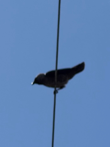
Wildlife & biodiversity
Most-observed species
- Barn SwallowHirundo rustica Linnaeus, 1758 · Aves381
- Eurasian Collared-DoveStreptopelia decaocto (Frivaldszky, 1838) · Aves348
- Crested LarkGalerida cristata (Linnaeus, 1758) · Aves346
- Eurasian JayGarrulus glandarius (Linnaeus, 1758) · Aves315
- House SparrowPasser domesticus (Linnaeus, 1758) · Aves288
- Yellow-legged GullLarus michahellis J.F.Naumann, 1840 · Aves252
- White WagtailMotacilla alba Linnaeus, 1758 · Aves249
- Great TitParus major Linnaeus, 1758 · Aves217
Citizen-science & research observations from the Global Biodiversity Information Facility (GBIF).
Earthquake history
Most recent
- M 4.2 — 2026-06-239 km WNW of Germencik, Turkey
- M 4.3 — 2024-04-198 km NW of Kokkári, Greece
- M 5.1 — 2024-01-274 km S of Özdere, Turkey
- M 4.2 — 2023-11-116 km ESE of Kálymnos, Greece
- M 4.2 — 2023-10-181 km S of Bayındır, Turkey
- M 4.1 — 2023-09-304 km E of Kálymnos, Greece
Events from the USGS Earthquake Catalog (global) (FDSN Event Web Service).
Photos
Sights & places nearby
Notable people from here


People born within ~10 km, from Wikidata (CC0). Click any name for their Wikipedia article.
Nearby places in Northern Aegean
Geography & sun
Elevation, sunrise/sunset and daylight from Open-Meteo. Solar climatology from NASA POWER.
Nearby airports
Public attention
Books about this place
Recent natural events nearby
Ground air-quality sensors
Recently spotted species
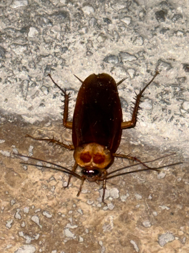
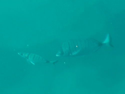

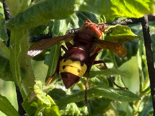
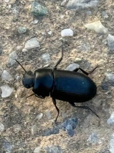

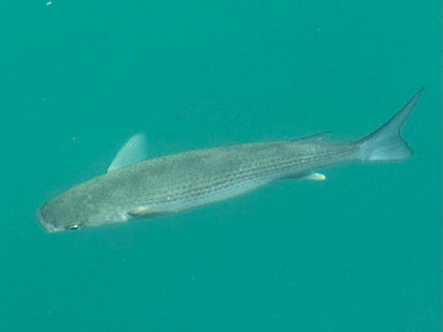
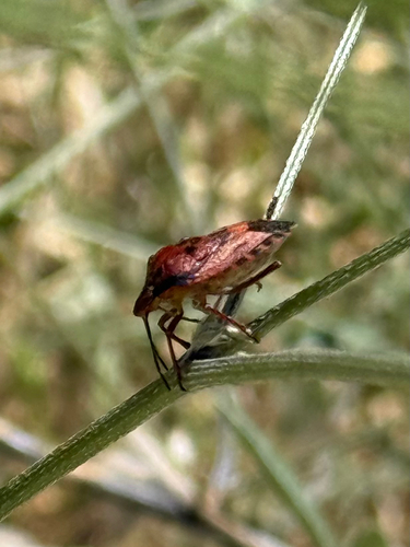
Research-grade observations from iNaturalist (within ~15 mi).
Events
Gallery
Geotagged photos within ~6 miles of Vathy, from Wikimedia Commons contributors.
 0 mi
0 mi 0 mi
0 mi 0 mi
0 mi 0 mi
0 mi 0 mi
0 mi 0 mi
0 mi 0 mi
0 mi 0 mi
0 mi 0 mi
0 mi 0 mi
0 mi 0 mi
0 mi 0.1 mi
 0.1 mi
 0.1 mi
 0.1 mi
 0.1 mi
 0.1 mi
 0.2 mi
.jpg) 0.2 mi
0.2 mi 0.3 mi
 0.4 mi
 0.4 mi
 0.4 mi
 0.4 mi
Photos via Wikimedia Commons — see each image page for license & attribution.
Sources
- • Open-Meteo (ERA5 reanalysis)
- • Wikimedia Commons
- • Wikidata
- • Open-Meteo Air Quality (CAMS)
- • USGS Earthquake Catalog (global feed)
- • GBIF (Global Biodiversity Information Facility)
- • iNaturalist
- • Open-Meteo / sunrise-sunset.org