Browse / Greece / Western Macedonia / Velvendos
Velvendos
Western Macedoniatown
Total population
3,360
Air quality index
Demographic figures from ELSTAT. Overview below cites Wikipedia and may reference a different year.
City facts
Overview
Situated in Western Macedonia, Greece, Velvendos is a town. The population stands at approximately 3,360. The settlement sits at 40.255°, 22.072°, a temperate location in the northern hemisphere. Climatically, locations at this latitude tend to experience four distinct seasons with warm summers and cold winters. Local weather statistics describe average highs near 67.9°F and lows near 51.3°F, alongside about 26.2 in of annual precipitation (a moderate total). The location receives about 1,575 kWh/m² of solar irradiance per year and sunshine for roughly 62% of daylight hours. The sections below expand on demographics, weather, terrain, hazards and nearby points of interest using publicly available datasets.
Summary composed automatically from structured open data on this page. See our Terms for details.
History & geography
Geography
Coordinates & boundaries from the US Census TIGER/Line shapefiles.
Climate
10-year averages from ERA5 reanalysis (Open-Meteo).
Air quality
Current readings from Open-Meteo Air Quality API (Copernicus CAMS European reanalysis).
Walkability
Amenities nearby
Wildlife & biodiversity
Most-observed species
- Great Cormorant/European ShagPhalacrocorax carbo (Linnaeus, 1758) · Aves65
- Hooded CrowCorvus cornix Linnaeus, 1758 · Aves63
- Gray/Purple HeronArdea cinerea Linnaeus, 1758 · Aves51
- Dalmatian PelicanPelecanus crispus Bruch, 1832 · Aves47
- Eurasian MagpiePica pica (Linnaeus, 1758) · Aves44
- Black-headed GullChroicocephalus ridibundus (Linnaeus, 1766) · Aves41
- Eurasian CootFulica atra Linnaeus, 1758 · Aves36
- Common ChaffinchFringilla coelebs Linnaeus, 1758 · Aves35
Citizen-science & research observations from the Global Biodiversity Information Facility (GBIF).
Earthquake history
Most recent
- M 4.5 — 2025-11-243 km SW of Magoúla, Greece
- M 4.1 — 2024-11-117 km W of Néa Poteídaia, Greece
- M 2.6 — 2023-05-133 km NW of Vergína, Greece
- M 4.3 — 2023-04-176 km SSE of Týrnavos, Greece
- M 4.6 — 2023-02-0122 km ENE of Leptokaryá, Greece
- M 4.6 — 2022-08-231 km WSW of Týrnavos, Greece
Events from the USGS Earthquake Catalog (global) (FDSN Event Web Service).
Photos
Sights & places nearby
Notable people from here


People born within ~10 km, from Wikidata (CC0). Click any name for their Wikipedia article.
Nearby places in Western Macedonia
- Agia Kyriaki2.9 mi away · pop. 14
- Imera3.2 mi away · pop. 156
- Kastania6.2 mi away · pop. 68
- Roditis7.1 mi away · pop. 263
- Vathylakkos8.2 mi away · pop. 615
- Kapnochori8.8 mi away · pop. 300
- Θυμαριά9.4 mi away · pop. 280
- Voskochori9.4 mi away · pop. 120
- Agios Charalampos9.5 mi away · pop. 145
- Sparto11 mi away · pop. 110
- Kesaria12.4 mi away · pop. 693
- Ryaki12.5 mi away · pop. 300
Geography & sun
Elevation, sunrise/sunset and daylight from Open-Meteo. Solar climatology from NASA POWER.
Nearby airports
Public attention
Books about this place
Recent natural events nearby
Ground air-quality sensors
Recently spotted species


Research-grade observations from iNaturalist (within ~15 mi).
Events
Gallery
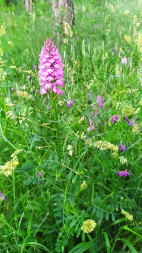
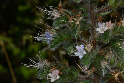
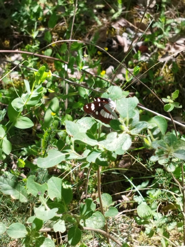
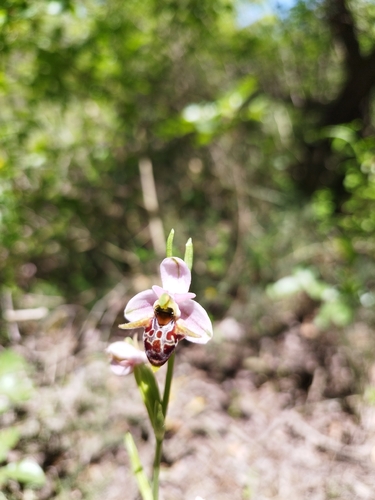
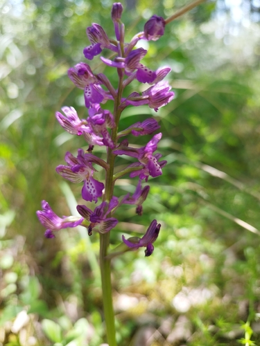
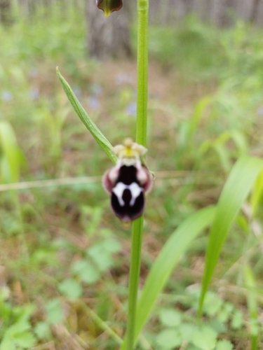
Geotagged photos within ~6 miles of Velvendos, from Wikimedia Commons contributors.
 0.3 mi
 0.3 mi
 0.3 mi
 0.3 mi
 0.3 mi
 0.3 mi
 0.3 mi
 0.3 mi
 0.3 mi
 0.3 mi
 0.3 mi
 0.3 mi
 0.3 mi
 0.3 mi
 0.3 mi
 0.3 mi
 0.3 mi
 0.3 mi
 0.3 mi
 0.3 mi
 0.3 mi
 0.3 mi
 0.3 mi
 0.3 mi
Photos via Wikimedia Commons — see each image page for license & attribution.
Sources
- • Open-Meteo (ERA5 reanalysis)
- • Wikimedia Commons
- • Wikidata
- • Open-Meteo Air Quality (CAMS)
- • USGS Earthquake Catalog (global feed)
- • GBIF (Global Biodiversity Information Facility)
- • iNaturalist
- • Open-Meteo / sunrise-sunset.org