Browse / Greece / Western Greece / Zacharo
Zacharo
Western Greecetown
Total population
5,407
Air quality index
Demographic figures from ELSTAT. Overview below cites Wikipedia and may reference a different year.
City facts
Overview
Zacharo sits in Western Greece, Greece and is identified as a small town. The population stands at approximately 5,407. The settlement sits at 37.484°, 21.648°, a warm-temperate location in the northern hemisphere. Local weather statistics describe average highs near 71.8°F and lows near 60°F, alongside about 51.7 in of annual precipitation (a wet total). Its latitude implies a climate characterised by warm summers and cool winters. The location receives about 1,801 kWh/m² of solar irradiance per year and sunshine for roughly 70% of daylight hours. The remainder of this page draws on open public data to describe the area's demographics, climate, environment and nearby amenities.
Summary composed automatically from structured open data on this page. See our Terms for details.
History & geography
Geography
Coordinates & boundaries from the US Census TIGER/Line shapefiles.
Climate
10-year averages from ERA5 reanalysis (Open-Meteo).
Air quality
Current readings from Open-Meteo Air Quality API (Copernicus CAMS European reanalysis).
Walkability
Amenities nearby
Wildlife & biodiversity
Most-observed species
- European pond turtleEmys orbicularis (Linnaeus, 1758) · Testudines42
- Hooded CrowCorvus cornix Linnaeus, 1758 · Aves30
- Peloponnese Wall LizardPodarcis peloponnesiacus (Bibron & Bory, 1833) · Squamata29
- House SparrowPasser domesticus (Linnaeus, 1758) · Aves27
- Western Caspian turtleMauremys rivulata (Valenciennes, 1833) · Testudines26
- Hermann's tortoiseTestudo hermanni Gmelin, 1789 · Testudines25
- European GoldfinchCarduelis carduelis (Linnaeus, 1758) · Aves24
- Sea DaffodilPancratium maritimum L. · Liliopsida24
Citizen-science & research observations from the Global Biodiversity Information Facility (GBIF).
Earthquake history
Most recent
- M 4.9 — 2026-06-1419 km SSW of Methóni, Greece
- M 4.3 — 2026-05-257 km NE of Traganón, Greece
- M 4.2 — 2026-05-1425 km SSW of Methóni, Greece
- M 4.2 — 2026-05-1131 km WSW of Pýrgos, Greece
- M 4.4 — 2026-03-3111 km SE of Ambelókipoi, Greece
- M 4.5 — 2026-03-2914 km SSE of Póros, Greece
Events from the USGS Earthquake Catalog (global) (FDSN Event Web Service).
Photos
Sights & places nearby
Notable people from here
People born within ~10 km, from Wikidata (CC0). Click any name for their Wikipedia article.
Nearby places in Western Greece
Geography & sun
Elevation, sunrise/sunset and daylight from Open-Meteo. Solar climatology from NASA POWER.
Nearby airports
Public attention
Books about this place
Recent natural events nearby
Ground air-quality sensors
Recently spotted species
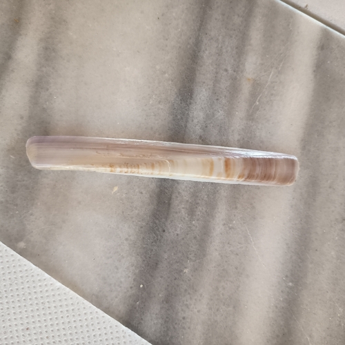
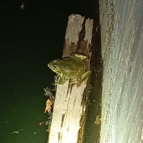


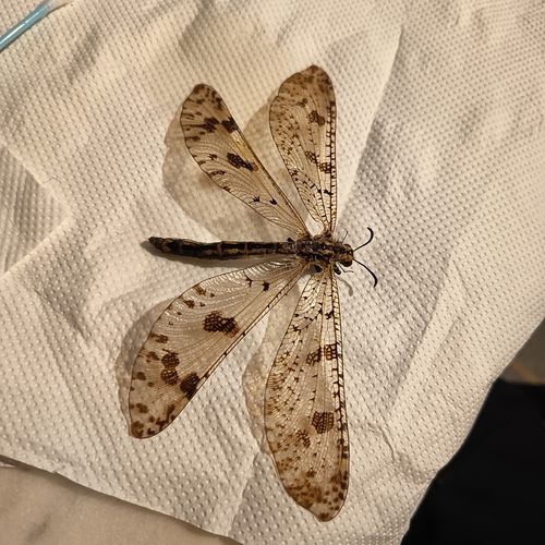

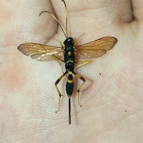

Research-grade observations from iNaturalist (within ~15 mi).
Events
Gallery
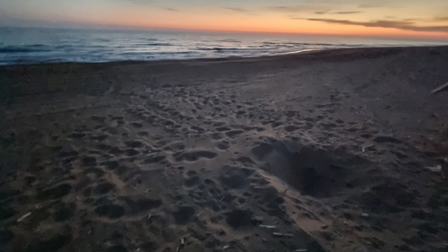
Geotagged photos within ~6 miles of Zacharo, from Wikimedia Commons contributors.
.jpg) 1.5 mi
1.5 mi.jpg) 1.5 mi
1.5 mi 2 mi
2 mi 2.5 mi
 2.9 mi
 2.9 mi
 2.9 mi
 3.1 mi
 3.1 mi
 3.1 mi
 3.4 mi
 3.4 mi
 3.4 mi
 3.4 mi
 3.5 mi
 3.5 mi
.jpeg) 3.7 mi
3.7 mi 3.9 mi
 4 mi
4 mi 4.4 mi
 4.4 mi
.jpg) 4.7 mi
4.7 mi 4.7 mi
.jpg) 5.8 mi
5.8 miPhotos via Wikimedia Commons — see each image page for license & attribution.
Official Identifiers
ELSTAT — Hellenic Statistical Authority
- ELSTAT code
- 3906010101
- Population (Wikidata)
- 2,468
- Wikidata
- Q139595
ELSTAT geographical code via Wikidata P1116
Sources
- • Open-Meteo (ERA5 reanalysis)
- • Wikimedia Commons
- • Wikidata
- • Open-Meteo Air Quality (CAMS)
- • USGS Earthquake Catalog (global feed)
- • GBIF (Global Biodiversity Information Facility)
- • iNaturalist
- • Open-Meteo / sunrise-sunset.org
- • ELSTAT — Hellenic Statistical Authority — ELSTAT geographical code via Wikidata P1116