Browse / Guyana / Guyana / Port Kaituma
Port Kaituma
Guyanatown

Port Kaituma
Demographic figures from Bureau of Statistics (Guyana). Overview below cites Wikipedia and may reference a different year.
City facts
Overview
Port Kaituma is a small village within the Barima-Waini administrative region of Guyana. It became known internationally as a gateway village to the Peoples Temple settlement in nearby Jonestown. It has long been a hub for mining in the area.
Read more on WikipediaHistory & geography
History
Although Indigenous settlements existed along the Kaituma River for some time, it was only after the discovery of manganese at nearby Matthews Ridge It was officially declared a Port on July 2nd 1960 under the authority of the Governor of then British Guiana. At the time of the manganese mining, Port Kaituma had three separate areas. The mine managers' house and the guest house were in a large clearing separated by a short road through the forest from the main rail-head and manganese loading facility. A longer road led in the opposite direction to the area known as 'Bottom Floor' where the workers lived. The manganese was transported from Matthews Ridge via a railway and then shipped from Port Kaituma to Chaguaramas Bay in Trinidad, from where it was distributed for industrial use with a large proportion going to Stavanger in Norway. The project was operated by subsidiaries of Union Carbide. Two Trinidadian oil tankers, the Ambrosio and the Inverrosa, were converted into manganese carriers as part of this project. They made the trip from Port Kaituma to Chaguaramas on a regular four-day cycle for much of the 1960s. With a displacement of just under 3,000 tonnes, they were originally built in the mid 1920s with a shallow draft to ship oil across shallow sand-bars at the mouth of Lake Maracaibo in Venezuela. The ability to slip over sand bars in very shallow water was essential to their being able to get across Waini Bar at the mouth of the Kaituma River. Port Kaituma's significance grew further following the proclamation from the then-President of Guyana, Forbes Burnham, that Guyana should become more self-sufficient by populating the interior of the country. Matthews Ridge was highlighted as a potential new capital city, and within Port Kaituma a large secondary…
Excerpted from the corresponding Wikipedia article (CC BY-SA).
Geography
Coordinates & boundaries from the US Census TIGER/Line shapefiles.
Climate
Air quality
Walkability
Amenities nearby
Wildlife & biodiversity
Most-observed species
- White-throated ToucanRamphastos tucanus Linnaeus, 1758 · Aves12
- Palm TanagerThraupis palmarum (Wied-Neuwied, 1821) · Aves12
- Great KiskadeePitangus sulphuratus (Linnaeus, 1766) · Aves11
- Silver-beaked TanagerRamphocelus carbo (Pallas, 1764) · Aves10
- Red-rumped CaciqueCacicus haemorrhous (Linnaeus, 1766) · Aves10
- Southern House WrenTroglodytes musculus J.F.Naumann, 1823 · Aves10
- Blue-gray TanagerThraupis episcopus (Linnaeus, 1766) · Aves9
- Tropical KingbirdTyrannus melancholicus Vieillot, 1819 · Aves9
Citizen-science & research observations from the Global Biodiversity Information Facility (GBIF).
Earthquake history
Events from the USGS Earthquake Catalog (global) (FDSN Event Web Service).
Photos
Sights & places nearby
Notable people from here


People born within ~10 km, from Wikidata (CC0). Click any name for their Wikipedia article.
Nearby places in Guyana
- Ha Mochekoane6324.6 mi away
- Ha Mpo6325.1 mi away
- Ha 'Mantšebo6326.2 mi away
- Ha Khoane6326.3 mi away
- Majoematso6326.4 mi away
- Motse-Mocha (Machekoaneng)6327.4 mi away
- Ramokholokotha6328 mi away
- Ha Gideone6328.1 mi away
- Ha Takalimane6328.2 mi away
- Makeneng6328.2 mi away
- Ha Mafa6328.8 mi away
- Ha Mofoka6330.6 mi away
Geography & sun
Elevation, sunrise/sunset and daylight from Open-Meteo. Solar climatology from NASA POWER.
Nearby airports
Public attention
Pageview totals from the Wikimedia Pageviews API.
Books about this place
Recent natural events nearby
Ground air-quality sensors
Recently spotted species
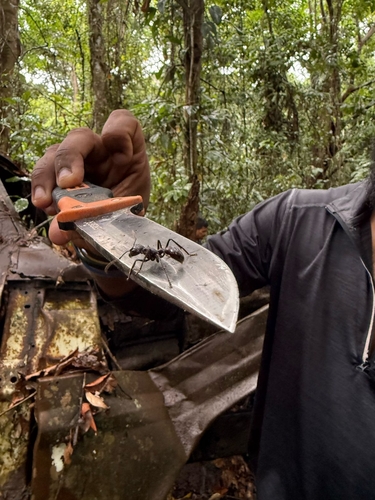
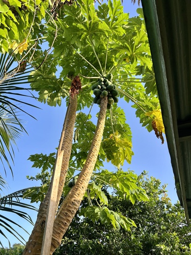
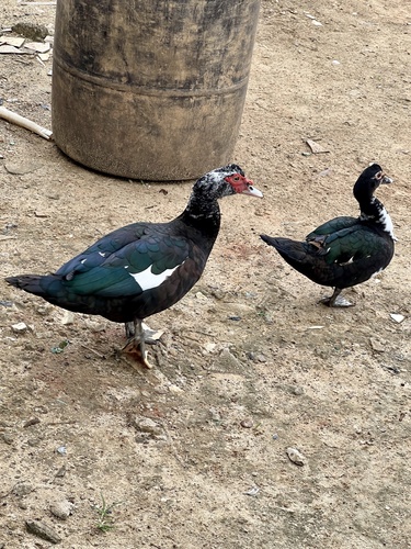
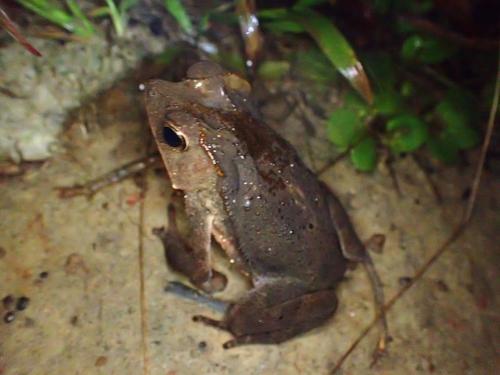
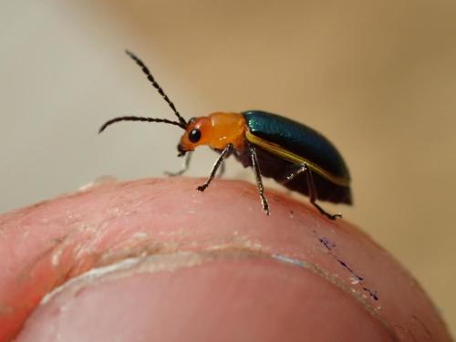
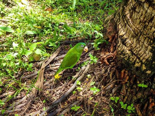
Research-grade observations from iNaturalist (within ~15 mi).
Events
Gallery
Geotagged photos within ~6 miles of Port Kaituma, from Wikimedia Commons contributors.


Photos via Wikimedia Commons — see each image page for license & attribution.
Sources
- • Wikipedia
- • Wikimedia Commons
- • Wikidata
- • USGS Earthquake Catalog (global feed)
- • GBIF (Global Biodiversity Information Facility)
- • iNaturalist
- • Open-Meteo / sunrise-sunset.org
- • Wikipedia Pageviews API