Browse / United States / Hawaii / Hilo
Hilo
HawaiiCDP

Hilo
Total population
50,404
Median home value
$483,000
Bachelor's+
Median income
$81,779
Air quality index
Demographic figures from US Census Bureau · ACS 5-year estimates. Overview below cites Wikipedia and may reference a different year.
- Flood Watch · SevereFlood Watch issued September 16 at 4:03PM HST until September 18 at 6:00AM HST by NWS Honolulu HI
Source: NOAA National Weather Service.
City facts
Sister cities
Facts from Wikidata (CC0).
Overview
Hilo is the largest settlement in and the county seat of Hawaiʻi County, Hawaii, United States, which encompasses the Island of Hawaiʻi. For statistical purposes, the United States Census Bureau has defined the community as a census-designated place (CDP). The population was 44,186 according to the 2020 census. It is the fourth-largest settlement in the state of Hawaiʻi, the largest settlement in the state outside of Oahu, and the largest settlement in the state outside of the Greater Honolulu Area.
Read more on WikipediaHistory & geography
History
Around 1100 AD, the first Hilo inhabitants arrived, bringing with them Polynesian knowledge and traditions. Although archaeological evidence is scant, oral history has many references to people living in Hilo, along the Wailuku and Wailoa rivers during the time of ancient Hawaiʻi. Oral history gives the meaning of Hilo as "to twist". Originally, the name "Hilo" applied to a district encompassing much of the east coast of the island of Hawaii, now divided into the District of South Hilo and the District of North Hilo. When William Ellis visited in 1823, the main settlement there was Waiākea on the south shore of Hilo Bay. Missionaries came to the district in the early-to-middle 19th century, founding Haili Church. Hilo expanded as sugar plantations in the surrounding area created jobs and drew in many workers from Asia. For example, by 1887, 26,000 Chinese workers worked in Hawai'i's sugar cane plantations, one of which was the Hilo Sugar Mill. At that time, the Hilo Sugar Mill produced 3,500 tons of sugar annually. A breakwater across Hilo Bay was begun in the first decade of the 20th century and completed in 1929. On April 1, 1946, an 8.6-magnitude earthquake near the Aleutian Islands created a tsunami that hit Hilo 4.9 hours later, killing 159 total in the islands, with 96 deaths in Hilo alone. In response, an early warning system, the Pacific Tsunami Warning Center, was established in 1949 to track these killer waves and provide warning. This tsunami also caused the end of the Hawaii Consolidated Railway, and instead the Hawaiʻi Belt Road was built north of Hilo using some of the old railbed. On May 22, 1960, another tsunami, caused by a 9.5-magnitude earthquake off the coast of Chile that day, claimed 61 lives, allegedly due to the failure of people to heed…
Geography
Hilo is on the eastern and windward side of the island. It is classified by the US Census Bureau as a census-designated place (CDP), and has a total area of , of which is land and of which (8.4%) is water. Hilo has a tropical rainforest climate (Köppen: Af), with substantial rainfall throughout the year. Its location on the windward coast (relative to the trade winds), makes it the fourth-wettest city in the United States, behind the southeast Alaskan cities of Whittier, Ketchikan and Yakutat, and one of the wettest in the world. An average of around of rain fell at Hilo International Airport annually between 1981 and 2010, with 272 days of the year receiving some rain. Monthly mean temperatures range from in February to in August. Hilo's location on the shore of the funnel-shaped Hilo Bay also makes it vulnerable to tsunamis.
Excerpted from the corresponding Wikipedia article (CC BY-SA).
Demographics & economy
Race & ethnicity
Source: US Census Bureau — American Community Survey, 5-year estimates.
Geography
Coordinates & boundaries from the US Census TIGER/Line shapefiles.
Climate
10-year averages from ERA5 reanalysis (Open-Meteo).
Current forecast
Forecast for Hilo, HI from NOAA NWS API.
Air quality
Current readings from Open-Meteo Air Quality API (Copernicus CAMS European reanalysis).
Industrial & pollution facilities
Natural hazard risk
Health (adults)
Age-adjusted prevalence estimates from CDC PLACES (latest release).
Walkability
Amenities nearby
Wildlife & biodiversity
Most-observed species
- Common MynaAcridotheres tristis (Linnaeus, 1766) · Aves3,533
- Saffron FinchSicalis flaveola (Linnaeus, 1766) · Aves3,355
- Zebra DoveGeopelia striata (Linnaeus, 1766) · Aves3,167
- Spotted DoveSpilopelia chinensis (Scopoli, 1786) · Aves2,660
- House SparrowPasser domesticus (Linnaeus, 1758) · Aves2,360
- Pacific Golden-PloverPluvialis fulva (J.F.Gmelin, 1789) · Aves2,300
- Yellow-billed CardinalParoaria capitata (d'Orbigny & Lafresnaye, 1837) · Aves2,298
- Japanese White-eyeZosterops japonicus Temminck & Schlegel, 1845 · Aves1,961
Citizen-science & research observations from the Global Biodiversity Information Facility (GBIF).
Schools
Largest nearby schools
- Hilo High SchoolHigh · Hilo · 1,317 students · 16.9:1 ratio
- Waiakea High SchoolHigh · Hilo · 1,297 students · 16.8:1 ratio
- Keaau High SchoolHigh · Keaau · 1,046 students · 15.8:1 ratio
- Keaau Elementary SchoolElementary · Keaau · 821 students · 15.2:1 ratio
- Waiakea Elementary SchoolElementary · Hilo · 789 students · 14.9:1 ratio
- Waiakea Intermediate SchoolMiddle · Hilo · 774 students · 13.8:1 ratio
- Keaau Middle SchoolMiddle · Keaau · 749 students · 15:1 ratio
- Waiakeawaena Elementary SchoolElementary · Hilo · 684 students · 13.4:1 ratio
Public K–12 schools within ~10 mi from Urban Institute Education Data Portal (NCES Common Core of Data, 2022).
Earthquake history
Most recent
- M 2.72 — 2026-10-1319 km SSW of Leilani Estates, Hawaii
- M 3.13 — 2026-10-1312 km SSE of Fern Forest, Hawaii
- M 2.59 — 2026-10-1013 km S of Honaunau-Napoopoo, Hawaii
- M 2.54 — 2026-10-0915 km S of Honaunau-Napoopoo, Hawaii
- M 3.04 — 2026-10-0711 km SSE of Leilani Estates, Hawaii
- M 3.1 — 2026-10-0610 km SSW of Pa‘auilo, Hawaii
Events from the USGS Earthquake Catalog (global) (FDSN Event Web Service).
Photos
Sights & places nearby
Notable people from here


People born within ~10 km, from Wikidata (CC0). Click any name for their Wikipedia article.
Nearby places in Hawaii
- Wainaku4 mi away
- Kurtistown7.1 mi away
- Orchidlands Estates10.1 mi away
- Fern Acres12.5 mi away · pop. 1,480
- Hawaiian Beaches14.1 mi away
- Fern Forest15.8 mi away
- Pahoa16 mi away · pop. 1,361
- Nanawale Estates17 mi away
- Royal Hawaiian Estates18.3 mi away
- Leilani Estates18.9 mi away
- Volcano18.9 mi away
- Mauna Loa Estates20.2 mi away
Geography & sun
Elevation, sunrise/sunset and daylight from Open-Meteo. Solar climatology from NASA POWER.
Nearby airports
Public attention
Pageview totals from the Wikimedia Pageviews API.
Books about Hilo


Search results from Open Library.
Recent natural events nearby
- Wildfire KAWAIHAE ROAD, Hawaii, HawaiiWildfires · 2026-07-26 · 51 mi
Wildfires, storms and other events from NASA EONET (last 12 months, within 250 mi).
Ground air-quality sensors
Recently spotted species
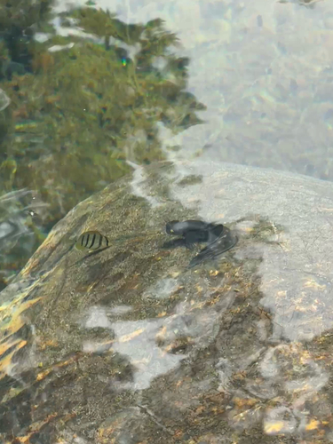
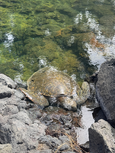
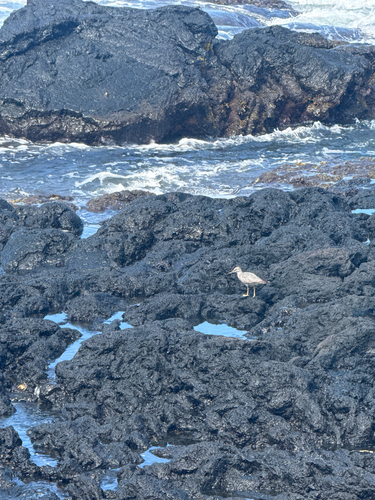
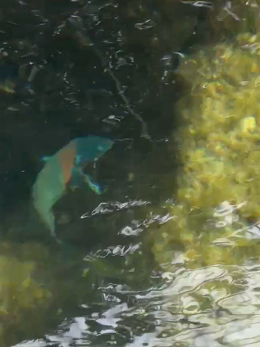
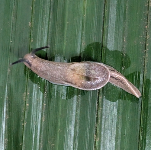
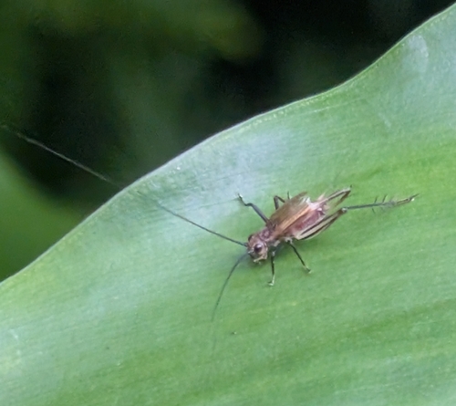
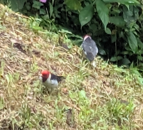
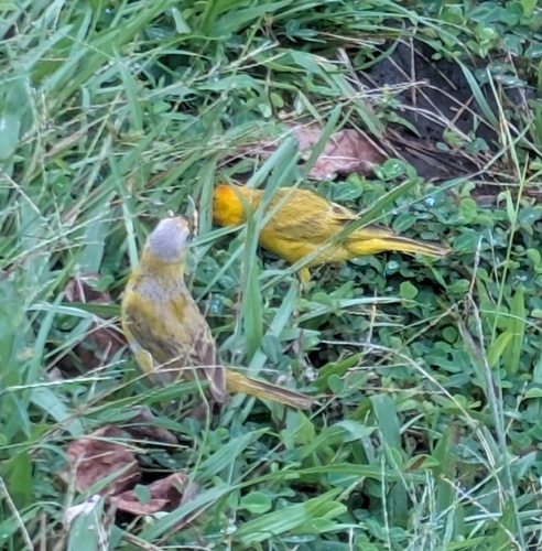
Research-grade observations from iNaturalist (within ~15 mi).
Nearest stream gauge
Live readings from USGS NWIS.
Events
Gallery
Geotagged photos within ~6 miles of Hilo, from Wikimedia Commons contributors.
 0.4 mi
 0.6 mi
 0.6 mi
 0.6 mi
 0.7 mi
 0.8 mi
 0.8 mi
 0.8 mi
 0.8 mi
 0.8 mi
 0.8 mi
 0.8 mi
 0.9 mi
_(23448419981).jpg) 0.9 mi
0.9 mi_(23162884739).jpg) 0.9 mi
0.9 mi.jpeg) 0.9 mi
0.9 mi 0.9 mi
.jpg) 0.9 mi
0.9 mi 1 mi
1 mi 1 mi
1 mi 1 mi
1 mi 1 mi
1 mi 1.1 mi
 1.1 mi
Photos via Wikimedia Commons — see each image page for license & attribution.
Sources
- • Wikipedia
- • US Census Bureau (ACS 5-year estimates)
- • Open-Meteo (ERA5 reanalysis)
- • NOAA National Weather Service
- • Wikimedia Commons
- • Wikidata
- • Open-Meteo Air Quality (CAMS)
- • USGS Earthquake Catalog (global feed)
- • USGS NWIS (water data)
- • NCES via Urban Institute Education Data Portal
- • GBIF (Global Biodiversity Information Facility)
- • iNaturalist
- • CDC PLACES
- • Open-Meteo / sunrise-sunset.org
- • Wikipedia Pageviews API
- • Open Library
- • NASA EONET