Browse / Croatia / Osijek-Baranja / Đakovo
Đakovo
Osijek-Baranjatown

Đakovo
Total population
16,875
Demographic figures from Croatian Bureau of Statistics. Overview below cites Wikipedia and may reference a different year.
City facts
Sister cities
Facts from Wikidata (CC0).
Overview
Đakovo is a town in the region of Slavonia, Croatia. Đakovo is the centre of the fertile and rich Đakovo region.
Read more on WikipediaHistory & geography
History
In Roman antiquity the settlement Certissia stood on the same spot until it disappeared during the Migration Period. The settlement's first mention in historical documents dates from 1239 when Béla IV of Hungary granted it to the Diocese of Bosnia (), and the bishop moved his seat here in 1246. The predecessor to the newer St. Peter's Cathedral was built in 1355. In 1374 the settlement is documented under the name Dyacou. Croatian rebels in 1386 on 25 July captured Queen Mary of Hungary and her mother Elizabeth near the settlement. The Ottoman rule over Đakovo started following the Battle of Gorjani in 1537 and lasted for nearly 150 years. It was a kaza administrative center in Sanjak of Pojega and was known as "Yakova" during this period. In 1805 a Lipizzan horse herd was evacuated to Đakovo when Napoleon invaded Austria & Hungary and a part of the herd remained permanently there. In a 1910 census the settlement's total population of 6304 was made of 4894 Croatians, 890 Germans, 249 Hungarians and 164 Serbians. In the late 19th and early 20th century the settlement was a district capital in the Virovitica County of the Kingdom of Croatia-Slavonia within the Lands of the Crown of Saint Stephen. From 1 December 1941 until 7 July 1942 the Ustaše established and operated the Đakovo internment camp, mostly for Jewish, Roma and Serb women and children.
Geography
Đakovo is located to the southwest of Osijek and southeast of Našice; elevation 111 m. It is located near the A5 motorway, at the intersection of the D7 state road to Osijek, the arterial roads D38 to Požega, D46 to Vinkovci and the connecting road D515 to Našice.
Excerpted from the corresponding Wikipedia article (CC BY-SA).
Geography
Coordinates & boundaries from the US Census TIGER/Line shapefiles.
Climate
Air quality
Walkability
Amenities nearby
Wildlife & biodiversity
Earthquake history
Photos
Sights & places nearby
Notable people from here


People born within ~10 km, from Wikidata (CC0). Click any name for their Wikipedia article.
Nearby places in Osijek-Baranja
- Kuševac2.9 mi away · pop. 897
- Budrovci2.9 mi away · pop. 1,107
- Selci Đakovački3.2 mi away · pop. 1,412
- Viškovci3.4 mi away · pop. 920
- Satnica Đakovačka3.6 mi away · pop. 1,223
- Piškorevci3.7 mi away · pop. 1,434
- Ivanovci Đakovački4 mi away · pop. 503
- Vučevci4.3 mi away · pop. 221
- Đurđanci4.6 mi away · pop. 370
- Novi Perkovci4.9 mi away · pop. 180
- Tomašanci5.4 mi away · pop. 452
- Strizivojna5.7 mi away · pop. 2,027
Geography & sun
Elevation, sunrise/sunset and daylight from Open-Meteo. Solar climatology from NASA POWER.
Nearby airports
Public attention
Pageview totals from the Wikimedia Pageviews API.
Books about this place
Recent natural events nearby
Ground air-quality sensors
Recently spotted species
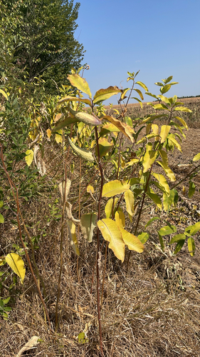
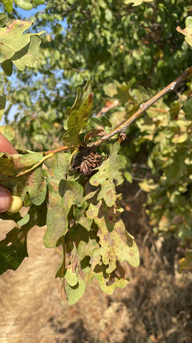
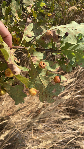
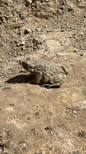

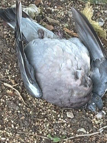
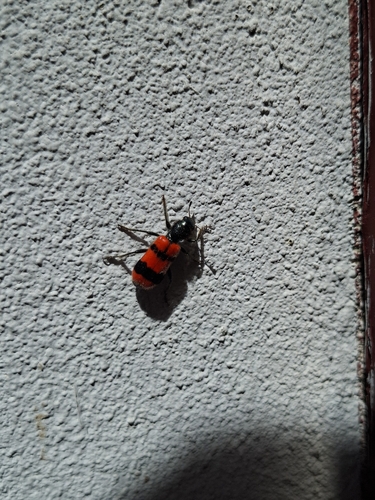
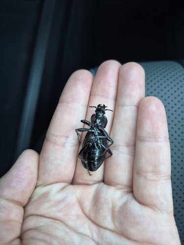
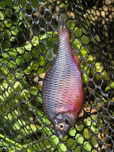
Research-grade observations from iNaturalist (within ~15 mi).
Events
Gallery
Sources
- • Wikipedia
- • Wikidata
- • iNaturalist
- • Open-Meteo / sunrise-sunset.org
- • Wikipedia Pageviews API