Browse / Croatia / Dubrovnik-Neretva / Banići
Banići
Dubrovnik-Neretvavillage

Featured view
Banići
Total population
139
Land area2.9 km²
Coordinates42.80°, 17.86°
Demographic figures from Croatian Bureau of Statistics. Overview below cites Wikipedia and may reference a different year.
Loading additional data from public sources…0 / 11
CensusWikipediaWeatherPlacesPeopleEnvironmentHealth & SchoolsRelatedGeography & CultureLive MonitoringEvents & Gallery
0% completeCity facts
Area
2.9 km²
Facts from Wikidata (CC0).
Overview
Banići is a village in Croatia. It is located near Slano in the Dubrovačko Primorje municipality within the Dubrovnik-Neretva County in the south of the country. The village has a church dedicated to Mary Magdalene.
Read more on WikipediaHistory & geography
Geography
Latitude
42.7979
Longitude
17.8555
Water area
—
Coordinates & boundaries from the US Census TIGER/Line shapefiles.
Climate
Air quality
Walkability
Amenities nearby
Wildlife & biodiversity
Earthquake history
Photos
Sights & places nearby
Notable people from here
Nearby places in Dubrovnik-Neretva
- Kručica0.6 mi away · pop. 34
- Trnova1 mi away · pop. 44
- Mravinca1.4 mi away · pop. 38
- Slano1.9 mi away · pop. 579
- Podimoć2.9 mi away · pop. 52
- Podgora3.4 mi away · pop. 11
- Majkovi3.8 mi away · pop. 194
- Doli3.9 mi away · pop. 189
- Lisac4 mi away · pop. 36
- Čepikuće4.3 mi away · pop. 63
- Šipanska Luka4.8 mi away · pop. 212
- Visočani5.2 mi away · pop. 130
Geography & sun
Avg solar (kWh/m²/day)
4.36
Annual solar (kWh/m²)
1,593
Elevation, sunrise/sunset and daylight from Open-Meteo. Solar climatology from NASA POWER.
Nearby airports
Public attention
Wikipedia views (last 30 days)
28
Avg daily Wikipedia views
1
Attention level
Obscure
Pageview totals from the Wikimedia Pageviews API.
Books about this place
Recent natural events nearby
Ground air-quality sensors
Recently spotted species
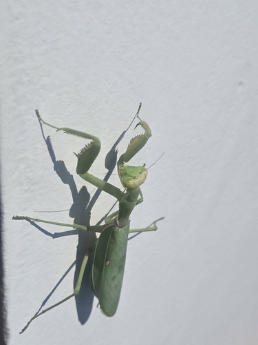
Transcaucasian Giant Mantis
Hierodula transcaucasica
Seen 2026-09-17
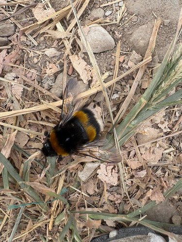
Buff-tailed Bumble Bee
Bombus terrestris
Seen 2026-09-09
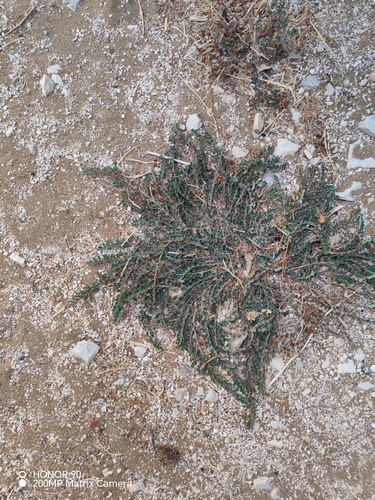
prostrate sandmat
Euphorbia prostrata
Seen 2026-09-08
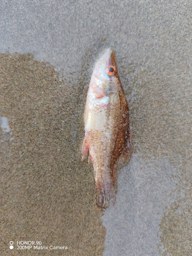
Pointed-snout Wrasse
Symphodus rostratus
Seen 2026-09-08
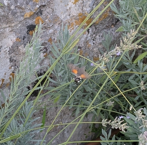
Eurasian Hummingbird Hawkmoth
Macroglossum stellatarum
Seen 2026-09-08
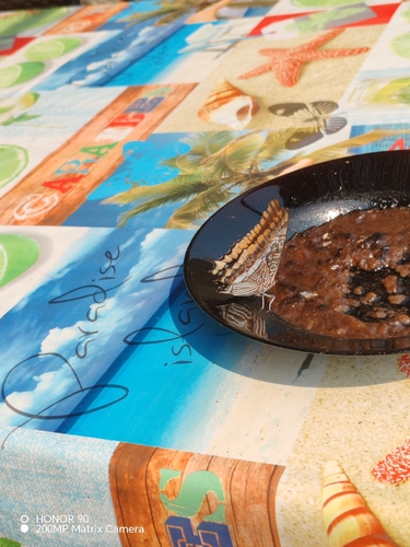
Two-tailed Pasha
Charaxes jasius
Seen 2026-09-06
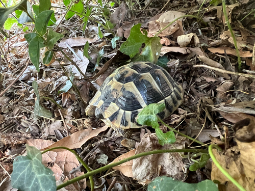
Hermann's Tortoise
Testudo hermanni
Seen 2026-09-06
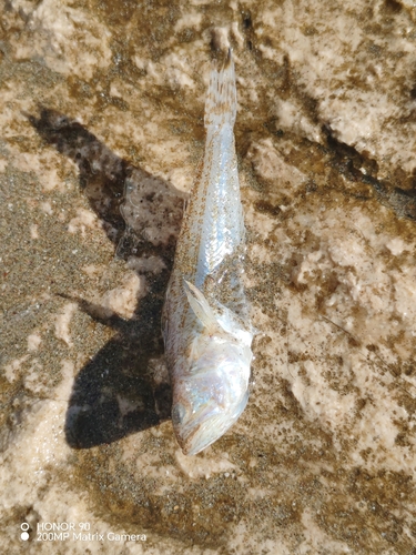
Lesser Weever
Echiichthys vipera
Seen 2026-09-05
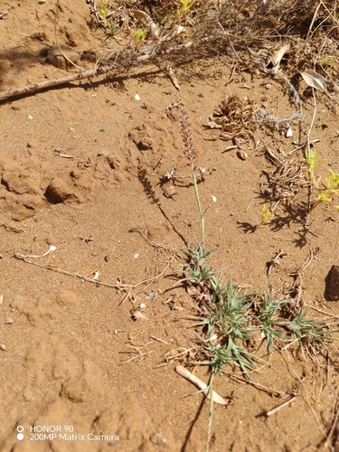
European Bur-grass
Tragus racemosus
Seen 2026-09-04
Research-grade observations from iNaturalist (within ~15 mi).
Events
Gallery
Sources
- • Wikipedia
- • Wikidata
- • iNaturalist
- • Open-Meteo / sunrise-sunset.org
- • Wikipedia Pageviews API