Browse / Croatia / Split-Dalmatia / Baška Voda
Baška Voda
Split-Dalmatiavillage

Baška Voda
Total population
1,978
Demographic figures from Croatian Bureau of Statistics. Overview below cites Wikipedia and may reference a different year.
City facts
Facts from Wikidata (CC0).
Overview
Baška Voda is a village and a municipality in Croatia in the Split-Dalmatia County.
Read more on WikipediaHistory & geography
History
The name Baška Voda is mythological in origin and is linked with Biston, the patriarch of the Thracian Biston tribe, son of Ares, the Greek god of war, and the goddess Calliope, protectress of water. The military fort and springs near Baška Voda bear out this theory. Some of the richest archaeological sites that have yielded finds from Roman times are on the heights of Gradina and its surroundings. These include burial sites with urns, lamps, jewellery, coins with the head of Alexander Severus Aurelianus and headstones bearing the names of 13 of the ancient inhabitants of Baška Voda, the loveliest of which commemorates a boy called Ursinus, who died in a shipwreck between 100 and 150 AD. In ancient times, the little village of Bast nestled by a freshwater spring which supplied the Biokovo area. During the 18th century, after the expulsion of the Turks, its inhabitant left the slopes of St. Ilija's (Elijah's) Ridge and descended to the shore, where they established Baška Voda, today a well-known tourist resort on the Makarska Riviera. Baška Voda first appeared on the “Coranelli” geographical map, produced in 1688, as “Basca”. It was a small village which thrived on agriculture and fishing. The Late Baroque church of St. Lovro (Laurence), built in 1750, probably occupies an Antique site, while the parish church of St. Nikola (Nicholas), the patron saint of travellers and sailors, was built in the early 20th century. The town along with its surroundings appear in the video game Gran Turismo Sport as a fictional racetrack.
Excerpted from the corresponding Wikipedia article (CC BY-SA).
Geography
Coordinates & boundaries from the US Census TIGER/Line shapefiles.
Climate
Air quality
Walkability
Amenities nearby
Wildlife & biodiversity
Earthquake history
Photos
Sights & places nearby
Notable people from here


People born within ~10 km, from Wikidata (CC0). Click any name for their Wikipedia article.
Nearby places in Split-Dalmatia
- Krvavica2.8 mi away · pop. 314
- Gornja Brela3.9 mi away · pop. 128
- Rastovac4.2 mi away · pop. 168
- Veliko Brdo4.5 mi away · pop. 492
- Novo Selo6.3 mi away · pop. 152
- Šestanovac6.8 mi away · pop. 426
- Podgrađe7.3 mi away · pop. 280
- Kostanje8.1 mi away · pop. 605
- Lovreć9.2 mi away · pop. 585
- Seoca9.7 mi away · pop. 140
- Cista Provo10 mi away · pop. 469
- Krivodol10.1 mi away · pop. 457
Geography & sun
Elevation, sunrise/sunset and daylight from Open-Meteo. Solar climatology from NASA POWER.
Nearby airports
Public attention
Pageview totals from the Wikimedia Pageviews API.
Books about this place
Recent natural events nearby
Ground air-quality sensors
Recently spotted species
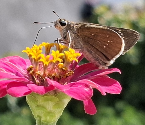
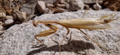
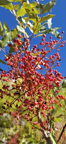
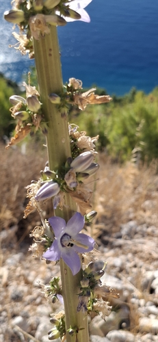
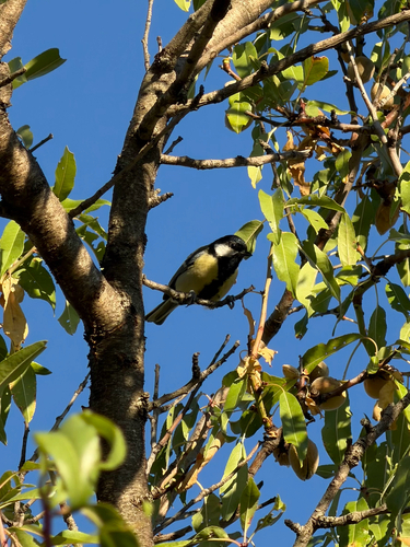
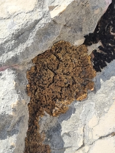
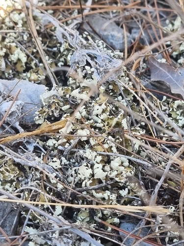
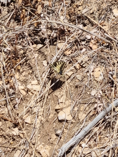
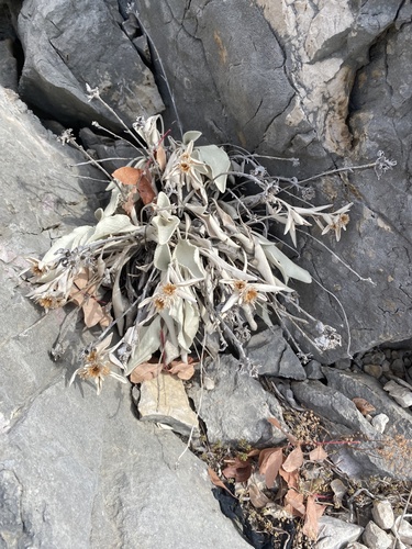
Research-grade observations from iNaturalist (within ~15 mi).
Events
Gallery
Sources
- • Wikipedia
- • Wikidata
- • iNaturalist
- • Open-Meteo / sunrise-sunset.org
- • Wikipedia Pageviews API