Browse / Croatia / Krapina-Zagorje / Bedekovčina
Bedekovčina
Krapina-Zagorjevillage

Bedekovčina
Total population
3,400
Demographic figures from Croatian Bureau of Statistics. Overview below cites Wikipedia and may reference a different year.
City facts
Facts from Wikidata (CC0).
Overview
Bedekovčina is a village and municipality in the Krapina-Zagorje County in Croatia. It is connected by the state road D24 and R201 railway. In the 2021 census, the total population of the municipality was 7,340.
Read more on WikipediaHistory & geography
History
The archaeological site of the Kiebel fortress is located in the area of the Bedekovčina Municipality. In 1248, the name of the noble town Castrum Cubul, which should be identified with the present-day toponym Kebel, first appears in written records. Almost twenty years later, in 1267, the Croatian-Hungarian King Bela IV granted Kumur, i.e. Komor in the then Varaždin County, to the Bedeković noble family. In 1543, in the War Tax List, we find estates owned by the Bedeković family: Komor, owned by Mihovil Bedeković, and Našenina (Naseyna), owned by Nikola Bedeković. Although the exact location of Našenina has not yet been determined, like Komor, it was located in the area of present-day Bedekovčina, which was named after its lords, the noble Bedeković family. The Municipality of Bedekovčina was founded in 1940 by order of the Ban of the Banovina of Croatia, Ivan Šubašić. After World War II its development continued, and at the time Mače was also part of the Municipality of Bedekovčina. In 1960, the Municipality of Bedekovčina was abolished and was integrated into the Municipality of Zabok. The municipality of Bedekovčina was reconstituted as an independent unit of local government in 1993, and its first mayor was Dragutin Burek. The area of today's Bedekovčina Municipality is divided between the parishes of Bedekovčina, Orehovica and Mača which played a major role in the development of settlements in the area of the Bedekovčina Municipality, especially since priests were the bearers and promoters of education.
Excerpted from the corresponding Wikipedia article (CC BY-SA).
Geography
Coordinates & boundaries from the US Census TIGER/Line shapefiles.
Climate
Air quality
Walkability
Amenities nearby
Wildlife & biodiversity
Earthquake history
Photos
Sights & places nearby
Notable people from here


People born within ~10 km, from Wikidata (CC0). Click any name for their Wikipedia article.
Nearby places in Krapina-Zagorje
- Vučak1.1 mi away · pop. 464
- Dubovec2.1 mi away · pop. 328
- Lepa Ves2.2 mi away · pop. 411
- Selnica2.6 mi away · pop. 653
- Dubrava Zabočka2.6 mi away · pop. 591
- Židovinjak2.6 mi away · pop. 212
- Banšćica2.8 mi away · pop. 198
- Dobri Zdenci2.8 mi away · pop. 145
- Repićevo Selo2.8 mi away · pop. 28
- Mirkovec3.1 mi away · pop. 476
- Pustodol Orehovički3.2 mi away · pop. 302
- Mali Bukovec3.2 mi away · pop. 258
Geography & sun
Elevation, sunrise/sunset and daylight from Open-Meteo. Solar climatology from NASA POWER.
Nearby airports
Public attention
Pageview totals from the Wikimedia Pageviews API.
Books about this place
Recent natural events nearby
Ground air-quality sensors
Recently spotted species
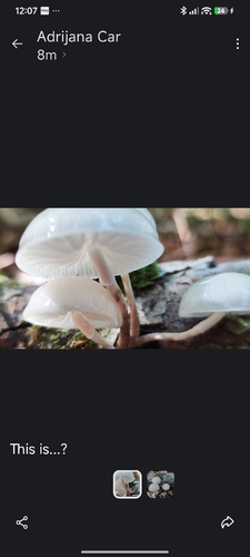
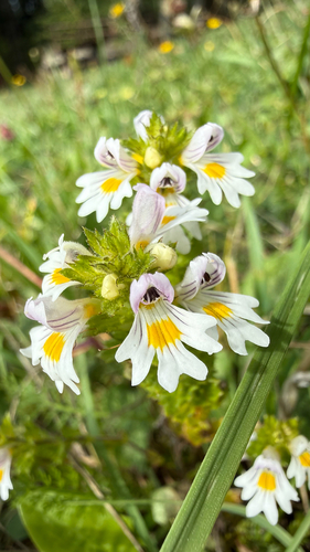
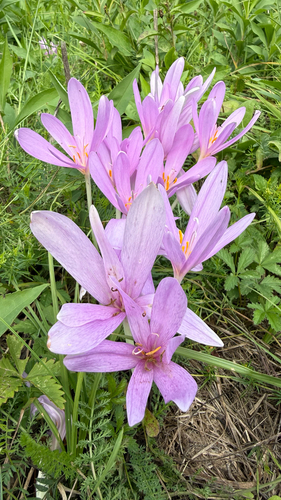
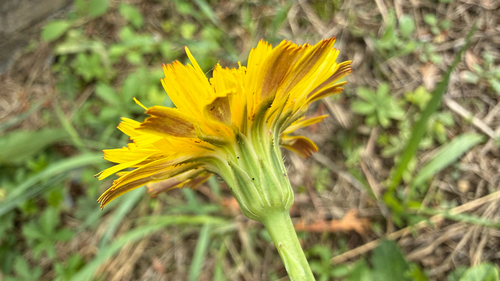
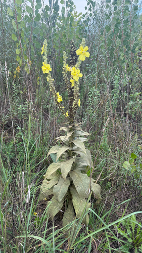
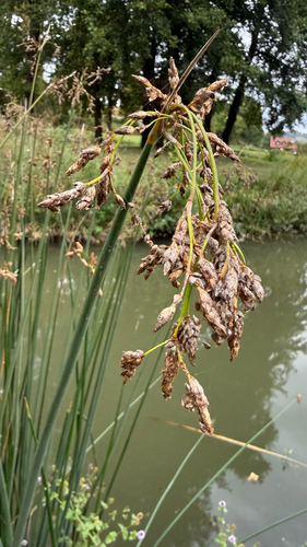
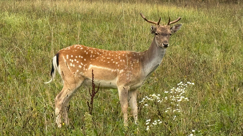
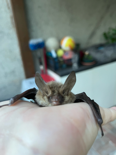
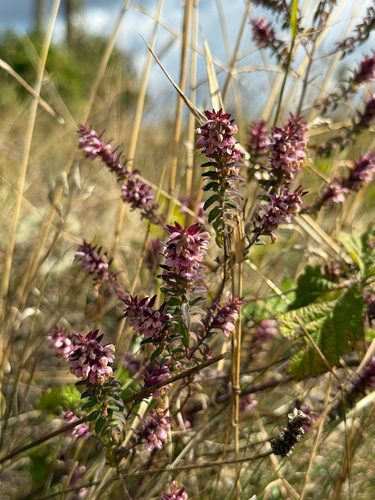
Research-grade observations from iNaturalist (within ~15 mi).
Events
Gallery
Sources
- • Wikipedia
- • Wikidata
- • iNaturalist
- • Open-Elevation
- • Open-Meteo / sunrise-sunset.org
- • Wikipedia Pageviews API