Browse / Croatia / Zadar / Benkovac
Benkovac
Zadartown

Benkovac
Total population
2,484
Demographic figures from Croatian Bureau of Statistics. Overview below cites Wikipedia and may reference a different year.
City facts
Facts from Wikidata (CC0).
Overview
Benkovac is a town and municipality in the Zadar County, Croatia.
Read more on WikipediaHistory & geography
History
The first traces of human life in the Benkovac area were found around the village of Smilčić that belonged to the Danilo culture. Before Roman conquest the area was inhabited by the Illyrian tribe of Liburnians. During the Roman Civil war the Liburnians sided with Caesar. The Romans mention the following Liburnian settlements: Nedinum (Nadin), Carinium (Karin), Varvaria (Bribir) and Asseria (Podgrađe). In the 7th century the area was settled by Croats. The area of Benkovac was at the crossroads of four Croatian župas - Novljanska, Sidraška, Bribirska and Karinska. Near the village of Šopot, an inscription from the 9th century was found that mentions Branimir as a Croatian Duke. In 1409 King Ladislaus of Naples sold his rights of Dalmatia to the Republic of Venice and the Benkovac area became a border region. New fortresses around the border were built - Korlat, Kličevica, Polača, and behind them Benković i Perušić. The fortress of Benković was named after the Croatian noble family that built it and the city of Benkovac was established. Today it has been restored and houses a modern museum. In 1527 Benkovac became part of the Ottoman Empire. It was settled by Croats-Bunjevci, Serbs and Vlachs. In October 1683, the population of Venetian Dalmatia, principally Uskoks of Ravni Kotari, took arms and together with the rayah (lower class) of the Ottoman frontier regions rose up, taking Skradin, Karin, Vrana, Benkovac and Obrovac. It became part of the Republic of Venice following the Morean War. After the Treaty of Campo Formio in 1797 and Treaty of Poznań in 1805, Benkovac came under French administration. In 1813, when it came under Austrian administration, Benkovac had 5,200 inhabitants. Until 1918, the town (with bilingual name BENKOVAC - BENCOVAZ) was part of the…
Geography
Benkovac is located where the plain of Ravni Kotari and the karstic plateau of Bukovica meet, 20 km from the town of Biograd na Moru and 30 km from Zadar. The Zagreb-Split motorway and Zadar-Knin railway pass through the town. It borders the municipalities of Novigrad, Posedarje, Obrovac, Lišane Ostrovičke, Kistanje and Stankovci.
Excerpted from the corresponding Wikipedia article (CC BY-SA).
Geography
Coordinates & boundaries from the US Census TIGER/Line shapefiles.
Climate
Air quality
Walkability
Amenities nearby
Wildlife & biodiversity
Earthquake history
Photos
Sights & places nearby
Notable people from here


People born within ~10 km, from Wikidata (CC0). Click any name for their Wikipedia article.
Geography & sun
Elevation, sunrise/sunset and daylight from Open-Meteo. Solar climatology from NASA POWER.
Nearby airports
Public attention
Pageview totals from the Wikimedia Pageviews API.
Books about this place
Recent natural events nearby
Ground air-quality sensors
Recently spotted species
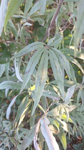
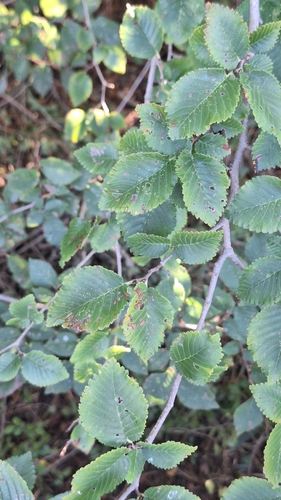
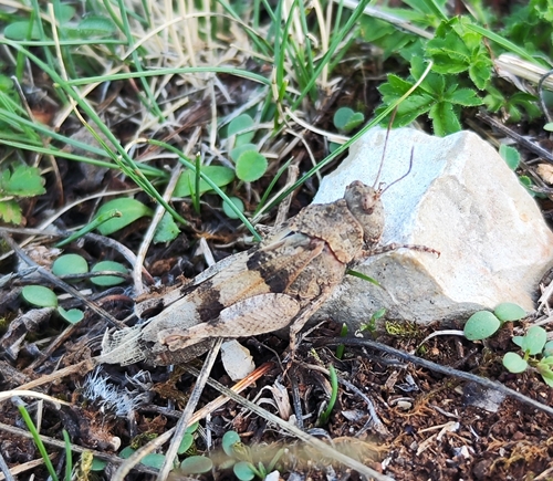
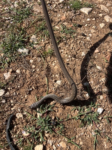
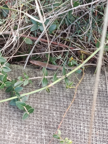
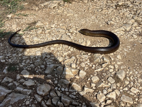
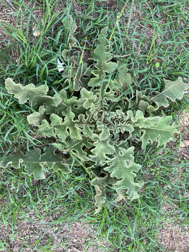
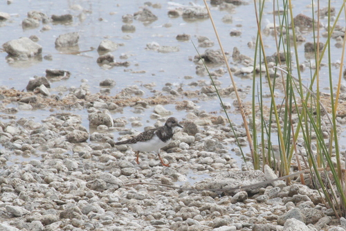
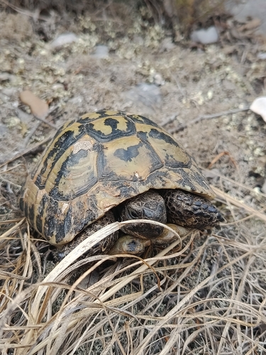
Research-grade observations from iNaturalist (within ~15 mi).
Events
Gallery
Sources
- • Wikipedia
- • Wikidata
- • iNaturalist
- • Open-Meteo / sunrise-sunset.org
- • Wikipedia Pageviews API