Browse / Croatia / Virovitica-Podravina / Brezik
Brezik
Virovitica-Podravinavillage
Demographic figures from Croatian Bureau of Statistics. Overview below cites Wikipedia and may reference a different year.
City facts
Overview
Within Virovitica-Podravina, Croatia, Brezik stands as a village. Brezik maps to 45.671°, 17.805° — squarely within the temperate belt. Up-to-date population figures for this locality are not available in the open datasets we monitor. The latitude suggests four distinct seasons with warm summers and cold winters. Open solar datasets indicate about 1,324 kWh/m² of solar irradiance per year, combined with sunshine for roughly 52% of daylight hours. Read on for charts and tables covering demographics, climate, hazards, schools, wildlife and other open-data indicators for Brezik.
Summary composed automatically from structured open data on this page. See our Terms for details.
History & geography
Geography
Coordinates & boundaries from the US Census TIGER/Line shapefiles.
Climate
Air quality
Walkability
Amenities nearby
Wildlife & biodiversity
Most-observed species
- Eurasian CootFulica atra Linnaeus, 1758 · Aves214
- Great Crested GrebePodiceps cristatus (Linnaeus, 1758) · Aves195
- MallardAnas platyrhynchos Linnaeus, 1758 · Aves169
- Gray/Purple HeronArdea cinerea Linnaeus, 1758 · Aves160
- Mute SwanCygnus olor (J.F.Gmelin, 1789) · Aves157
- Ferruginous DuckAythya nyroca (Güldenstädt, 1770) · Aves121
- Common ChaffinchFringilla coelebs Linnaeus, 1758 · Aves118
- Great EgretArdea alba Linnaeus, 1758 · Aves115
Citizen-science & research observations from the Global Biodiversity Information Facility (GBIF).
Earthquake history
Most recent
- M 4 — 2026-05-059 km WNW of Kupusina, Serbia
- M 4 — 2021-08-088 km SSE of Laktaši, Bosnia and Herzegovina
- M 3.2 — 2021-05-062 km N of Laktaši, Bosnia and Herzegovina
- M 3.2 — 2020-06-263 km ESE of Zdenci, Croatia
- M 4.5 — 2019-03-073 km SSW of Böhönye, Hungary
- M 3.4 — 2018-05-2416 km NNE of Piskavica, Bosnia and Herzegovina
Events from the USGS Earthquake Catalog (global) (FDSN Event Web Service).
Photos
Sights & places nearby
Notable people from here


People born within ~10 km, from Wikidata (CC0). Click any name for their Wikipedia article.
Nearby places in Virovitica-Podravina
- Donja Bukovica1 mi away · pop. 85
- Miljevci1.2 mi away · pop. 317
- Nova Bukovica1.7 mi away · pop. 802
- Gornje Viljevo1.8 mi away · pop. 31
- Donje Bazije2.8 mi away · pop. 148
- Kozice3.4 mi away · pop. 511
- Mikleuš3.9 mi away · pop. 840
- Zvonimirovac4.3 mi away · pop. 253
- Brezovljani Vojlovički4.4 mi away · pop. 50
- Četekovac4.7 mi away · pop. 213
- Balinci5.1 mi away · pop. 70
- Suha Mlaka5.1 mi away · pop. 105
Geography & sun
Elevation, sunrise/sunset and daylight from Open-Meteo. Solar climatology from NASA POWER.
Nearby airports
Public attention
Books about this place
Recent natural events nearby
Ground air-quality sensors
Recently spotted species
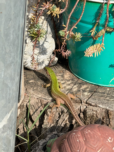
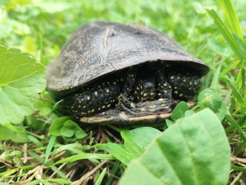

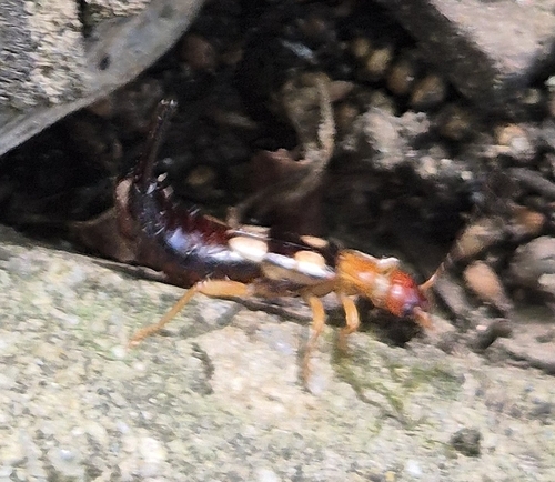
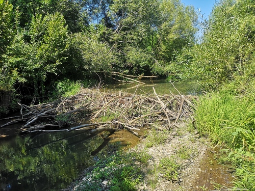
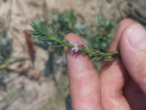
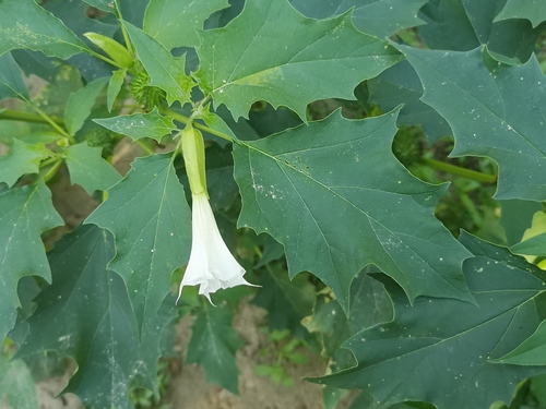
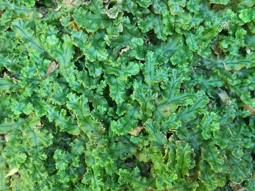
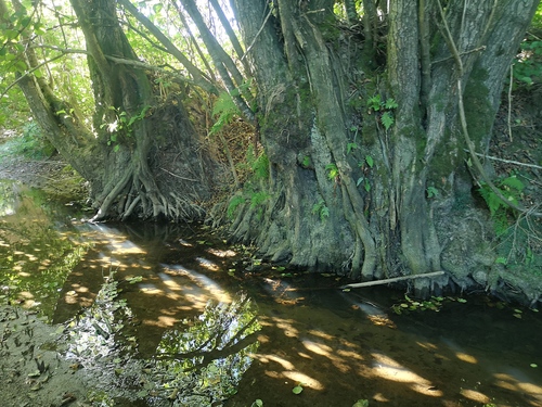
Research-grade observations from iNaturalist (within ~15 mi).
Events
Gallery
Sources
- • Wikidata
- • USGS Earthquake Catalog (global feed)
- • GBIF (Global Biodiversity Information Facility)
- • iNaturalist
- • Open-Meteo / sunrise-sunset.org