Browse / Croatia / Lika-Senj / Brinje
Brinje
Lika-Senjvillage

Brinje
Total population
1,479
Demographic figures from Croatian Bureau of Statistics. Overview below cites Wikipedia and may reference a different year.
City facts
Facts from Wikidata (CC0).
Overview
Brinje is a settlement and a municipality in Lika-Senj County, Croatia. It is located about 20 kilometres (12 mi) east of Senj and 60 kilometres (37 mi) north of Gospić.
Read more on WikipediaHistory & geography
History
Brinje's history dates back to medieval times, while the town was held by the noble Frankopan and Gorjanski families. Brinje was important medieval fortified city held by Frenkopan family. In 1507, the monk Bartol of Brinje left a graffito on the wall of the Sv. Antona church in Bale. # Juraj Gusić (1542) # Franjo Mudrovčić (1550) # Gašpar Starešinić (1602–1620) # Tomica Holjevac (1644–1653), burgrave # Andrija Semenić (1689) # Gabro Aichelburg (1702) # Franjo Aichelburg (1717–1723) # Ivan Mihael Floriančić (1732) In the late 19th century and early 20th century, Brinje was part of the Lika-Krbava County of the Kingdom of Croatia-Slavonia. It is some 60 km north of Gospić, on once important road, the "Josephina", passing from the hinterland through the Kapela pass towards the coast in Senj. The new highway that is built brought much needed prosperity to Brinje.
Geography
The town is formed around a castle called Sokolac, which contains one of the most well preserved Gothic chapels in Croatia, St. Marys, which dates back to the 14th century. Sokolac Castle in the town is named after the Croatian word for falcon (sokol), which appears on the town's coat of arms.
Excerpted from the corresponding Wikipedia article (CC BY-SA).
Geography
Coordinates & boundaries from the US Census TIGER/Line shapefiles.
Climate
Air quality
Walkability
Amenities nearby
Wildlife & biodiversity
Earthquake history
Photos
Sights & places nearby
Notable people from here
Nearby places in Lika-Senj
Geography & sun
Elevation, sunrise/sunset and daylight from Open-Meteo. Solar climatology from NASA POWER.
Nearby airports
Public attention
Pageview totals from the Wikimedia Pageviews API.
Books about this place
Recent natural events nearby
Ground air-quality sensors
Recently spotted species
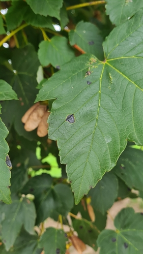
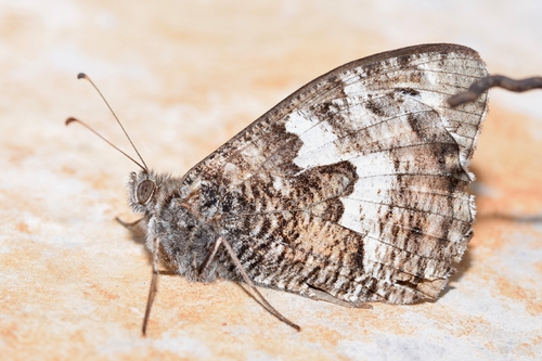
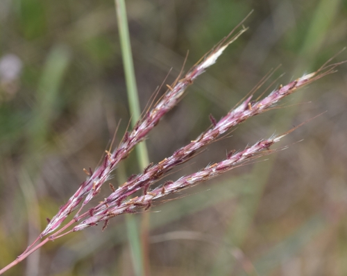
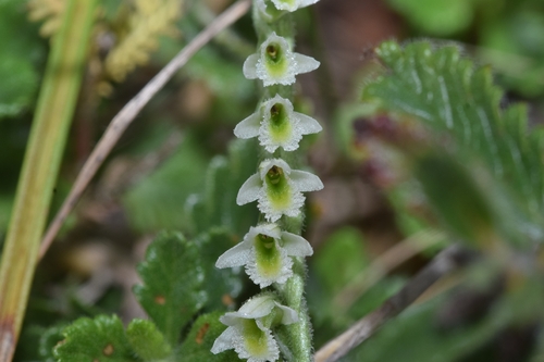
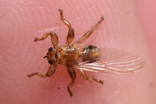
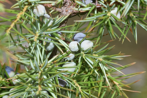
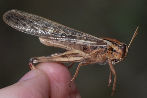
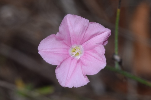
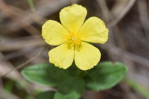
Research-grade observations from iNaturalist (within ~15 mi).
Events
Gallery
Sources
- • Wikipedia
- • Wikidata
- • iNaturalist
- • Open-Meteo / sunrise-sunset.org
- • Wikipedia Pageviews API