Browse / Croatia / Vukovar-Syrmia / Bršadin
Bršadin
Vukovar-Syrmiavillage

Bršadin
Total population
931
Demographic figures from Croatian Bureau of Statistics. Overview below cites Wikipedia and may reference a different year.
City facts
Facts from Wikidata (CC0).
Overview
Bršadin is a village in the Trpinja Municipality in Croatian easternmost Vukovar-Syrmia County. Bršadin is located north of the Vuka river and west of the town of Vukovar on the main road to Vinkovci.
Read more on WikipediaHistory & geography
History
Bršadin is first mentioned in historical sources in 1279 under the name Boršod. Boršod was located on an elevated area known as the "Old Village", about two kilometers west of the present day settlement.> Boršod decays after 1526 Ottoman Empire breakthrough into Syrmia and Slavonia. After 1529, Suleiman the Magnificent colonized place with first Orthodox families, Vlachs from north Serbia and north-eastern Bosnia, and after 1543 people from the central part of the Balkans peninsula. Following Ottoman retreat from the region, the Lordship of Vukovar was established, and the village became part of its domain in 1725. In 1914, at the beginning of World War I, Austro-Hungarian military command mobilization. Bršadin people disliked mobilization aside Triple Entente and they deserted in large numbers and taught to Russian army at Eastern Front or join Serbian army at Salonika front. During the war, a military hospital with 7000 beds, colloquially known as "Wooden Vienna", was located in the village. From 27 December 1920 (when they arrived in Vukovar) soldiers and families of the White Russian émigrés who were followers of Pyotr Wrangel settled in Bobota, Pačetin, Bršadin, Trpinja and Vera. In first days of occupation, Đurđević family were sentenced to death and shot on January 17, 1942, in Dudik, a location near Vukovar where 455 victims were executed. In the spring of 1944, Vaso Đurđević-Turčin, the last of Đurđević brothers, leader of Bršadin partisan and People's hero. In his honor, today at the center of village stands remembrance monument. During the Croatian War of Independence Bršadin was within self-proclaimed Serb political entity SAO Eastern Slavonia, Baranja and Western Syrmia. On December 20, 1993, the village was blocked by protest of the 40th brigade of…
Geography
Bršadin is third-largest settlement in the municipality, after Trpinja and Bobota. It is located on the D55 highway between the towns of Vukovar and Vinkovci. Bršadin is surrounded by a villages Bogdanovci and Marinci on south, Pačetin on west, Lipovača on the north and city Vukovar on the east. Agricultural land and forests are the main characteristics of the surrounding area. Bobota Canal is located next to the village.
Excerpted from the corresponding Wikipedia article (CC BY-SA).
Geography
Coordinates & boundaries from the US Census TIGER/Line shapefiles.
Climate
Air quality
Walkability
Amenities nearby
Wildlife & biodiversity
Earthquake history
Photos
Sights & places nearby
Notable people from here


People born within ~10 km, from Wikidata (CC0). Click any name for their Wikipedia article.
Nearby places in Vukovar-Syrmia
- Lipovača1.8 mi away · pop. 323
- Bogdanovci1.9 mi away · pop. 614
- Vukovar4.5 mi away · pop. 22,255
- Petrovci5.4 mi away · pop. 643
- Stari Jankovci7.1 mi away · pop. 1,124
- Mirkovci7.1 mi away · pop. 2,731
- Mlaka Antinska7.1 mi away · pop. 55
- Vinkovci7.4 mi away · pop. 28,111
- Korog8.7 mi away · pop. 406
- Markušica10.1 mi away · pop. 1,009
- Berak10.1 mi away · pop. 277
- Karadžićevo11.3 mi away · pop. 126
Geography & sun
Elevation, sunrise/sunset and daylight from Open-Meteo. Solar climatology from NASA POWER.
Nearby airports
Public attention
Pageview totals from the Wikimedia Pageviews API.
Books about this place
Recent natural events nearby
Ground air-quality sensors
Recently spotted species
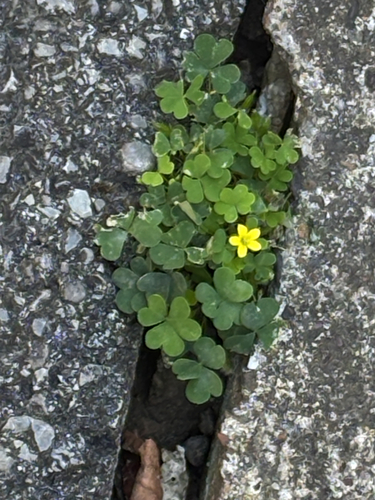
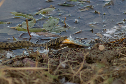
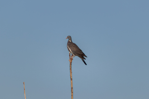
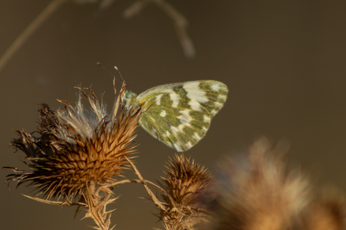
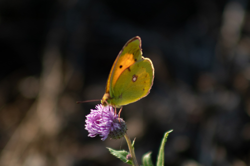
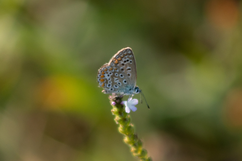
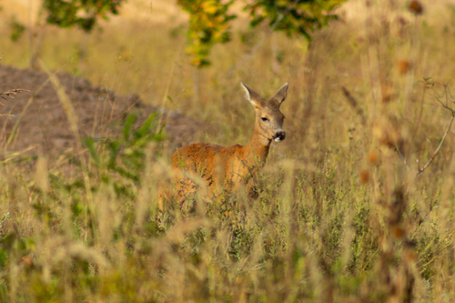
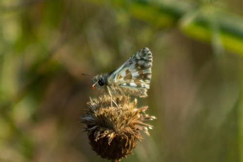
Research-grade observations from iNaturalist (within ~15 mi).
Events
Gallery
Sources
- • Wikipedia
- • Wikidata
- • iNaturalist
- • Open-Meteo / sunrise-sunset.org
- • Wikipedia Pageviews API