Browse / Croatia / Šibenik-Knin / Čavoglave
Čavoglave
Šibenik-Kninvillage

Čavoglave
Total population
168
Demographic figures from Croatian Bureau of Statistics. Overview below cites Wikipedia and may reference a different year.
City facts
Facts from Wikidata (CC0).
Overview
Čavoglave is a village in Dalmatian Hinterland, Croatia with a population of 190. It is part of the Ružić municipality of the Šibenik-Knin County, in the region of Dalmatia. It is located between the mountains Svilaja and Moseć, next to the spring of the Čikola river. The southern edge of the village passes the D56 highway.
Read more on WikipediaHistory & geography
History
During the Croatian War of Independence in 1991, Čavoglave was on the very front line, but they were never occupied in the 1991 Yugoslav campaign in Croatia. A large number of locals took part in the fight against Krajina Serbs. Čavoglave was popularized by Marko Perković Thompson's song "Bojna Čavoglave". The village is also Thompson's birthplace, and on his initiative, the Church of Croatian Martyrs was built there. There is an annual fund raising concert in honor of Victory and Homeland Thanksgiving Day in Čavoglave. On 26 March 2022 at 12:17 the ŽVOC Šibenik received a call about a wildfire in the area. burned by the time it was localised at 18:07 and put out at 6:05 on the 27th by JVP Drniš, JVP Knin, IVP Šibenik, DVD Unešić and DVD Drniš with the help of a Canadair CL-415.
Excerpted from the corresponding Wikipedia article (CC BY-SA).
Geography
Coordinates & boundaries from the US Census TIGER/Line shapefiles.
Climate
Air quality
Walkability
Amenities nearby
Wildlife & biodiversity
Earthquake history
Photos
Sights & places nearby
Notable people from here


People born within ~10 km, from Wikidata (CC0). Click any name for their Wikipedia article.
Geography & sun
Elevation, sunrise/sunset and daylight from Open-Meteo. Solar climatology from NASA POWER.
Nearby airports
Public attention
Pageview totals from the Wikimedia Pageviews API.
Books about this place
Recent natural events nearby
Ground air-quality sensors
Recently spotted species
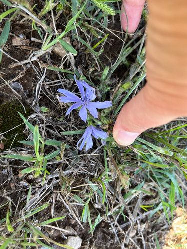
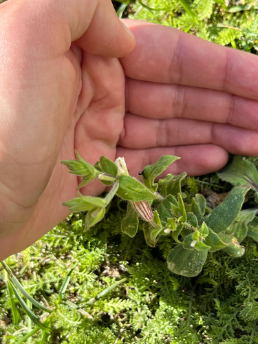
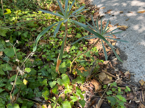
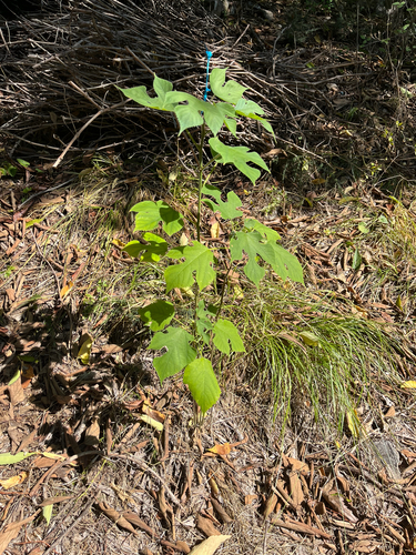
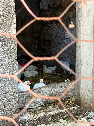
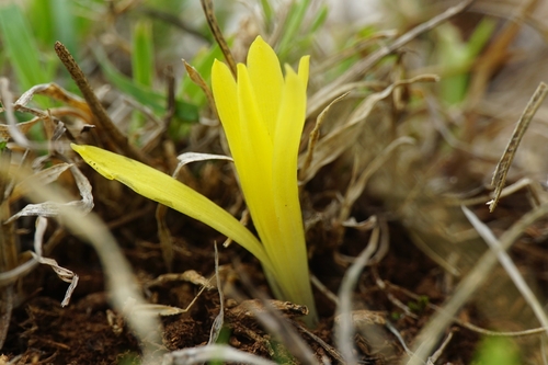
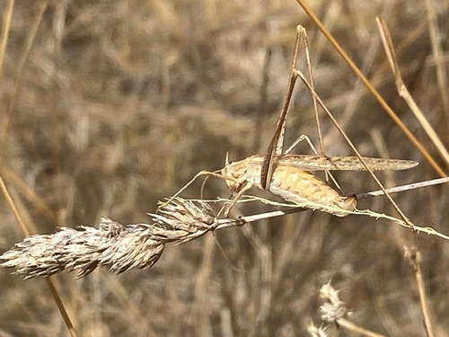
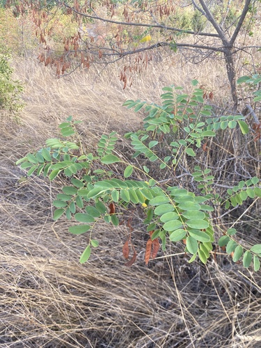
Research-grade observations from iNaturalist (within ~15 mi).
Events
Gallery
Sources
- • Wikipedia
- • Wikidata
- • iNaturalist
- • Open-Meteo / sunrise-sunset.org
- • Wikipedia Pageviews API