Browse / Croatia / Dubrovnik-Neretva / Cavtat
Cavtat
Dubrovnik-Neretvavillage

Cavtat
Total population
2,153
Demographic figures from Croatian Bureau of Statistics. Overview below cites Wikipedia and may reference a different year.
City facts
Facts from Wikidata (CC0).
Overview
Cavtat is a village in the Dubrovnik-Neretva County of Croatia. It is on the Adriatic Sea coast 15 kilometres south of Dubrovnik and is the center and main settlement of Konavle municipality.
Read more on WikipediaHistory & geography
History
The original city was founded by Greek settlers from Corinth in the 6th century BC under the name of Epidaurus (or Epidauros, ). The surrounding area was inhabited by the Illyrians, who called the city Zaptal. The town changed its name to Epidaurum when it came under Roman rule in 228 BC. Justinian I the Emperor of the Byzantine Empire sent his fleet to Cavtat during the Gothic War (535–554) and occupied the town. The city was sacked and destroyed by the Avars and Slavs in the 7th century. Refugees from Epidaurum fled to the nearby island, Laus (Ragusa), which over time evolved into the city of Dubrovnik. The town was re-established in the Middle Ages (). After a short while it came under the control of its powerful neighbor, the Republic of Ragusa. The modern Croatian name for the city reveals its ancient origins and its link with Dubrovnik. Cavtat is derived from , which means old city in Latin Language. On 13 May 2021, a waterspout of intensity IF0 made landfall just south of Cavtat.
Excerpted from the corresponding Wikipedia article (CC BY-SA).
Geography
Coordinates & boundaries from the US Census TIGER/Line shapefiles.
Climate
Air quality
Walkability
Amenities nearby
Wildlife & biodiversity
Earthquake history
Photos
Sights & places nearby
Notable people from here


People born within ~10 km, from Wikidata (CC0). Click any name for their Wikipedia article.
Nearby places in Dubrovnik-Neretva
- Zvekovica1.1 mi away · pop. 570
- Soline2.4 mi away · pop. 268
- Srebreno3.1 mi away · pop. 428
- Kupari3.3 mi away · pop. 808
- Brašina3.3 mi away · pop. 747
- Petrača3.7 mi away · pop. 806
- Gabrili3.7 mi away · pop. 210
- Brotnice4.2 mi away · pop. 31
- Buići4.4 mi away · pop. 359
- Drvenik5 mi away · pop. 52
- Donji Brgat5.1 mi away · pop. 152
- Stravča5.1 mi away · pop. 60
Geography & sun
Elevation, sunrise/sunset and daylight from Open-Meteo. Solar climatology from NASA POWER.
Nearby airports
Public attention
Pageview totals from the Wikimedia Pageviews API.
Books about this place
Recent natural events nearby
Ground air-quality sensors
Recently spotted species
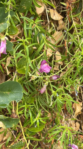
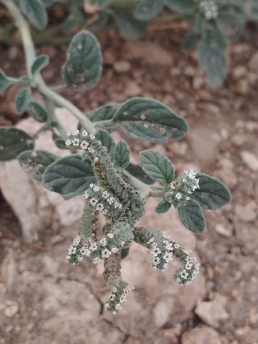
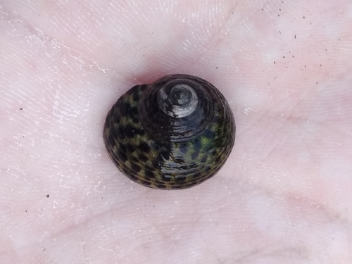
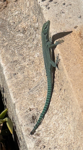
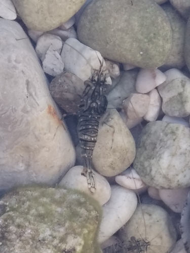
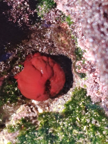
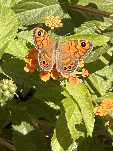
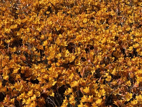
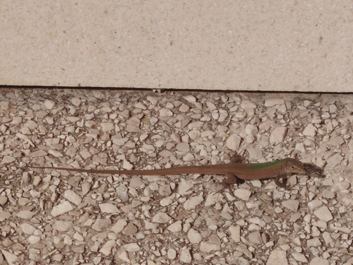
Research-grade observations from iNaturalist (within ~15 mi).
Events
Gallery
Sources
- • Wikipedia
- • Wikidata
- • iNaturalist
- • Open-Meteo / sunrise-sunset.org
- • Wikipedia Pageviews API