Browse / Croatia / Virovitica-Podravina / Ćeralije
Ćeralije
Virovitica-Podravinavillage

Featured view
Ćeralije
Total population
623
Land area14.2 km²
Coordinates45.62°, 17.69°
Demographic figures from Croatian Bureau of Statistics. Overview below cites Wikipedia and may reference a different year.
Loading additional data from public sources…0 / 11
CensusWikipediaWeatherPlacesPeopleEnvironmentHealth & SchoolsRelatedGeography & CultureLive MonitoringEvents & Gallery
0% completeCity facts
Area
14.2 km²
Facts from Wikidata (CC0).
Overview
Ćeralije is a village in Croatia, in the municipality of Voćin, Virovitica-Podravina County. It is connected by the D69 highway.
Read more on WikipediaHistory & geography
Geography
Latitude
45.6191
Longitude
17.6871
Water area
—
Coordinates & boundaries from the US Census TIGER/Line shapefiles.
Climate
Air quality
Walkability
Amenities nearby
Wildlife & biodiversity
Earthquake history
Photos
Sights & places nearby
Notable people from here
G
Goran Perkovac
Croatian handball player

Milko Kelemen
Croatian composer (1924-2018)

Gyula Weszelszky
Hungarian chemist, pharmacist, radiologist (1872–1940)
V
Viktor Žmegač
Croatian musicologist (1929–2022)
E
Eugen Dasović
association football player (1896-1980)
L
László Heka
Hungarian-Croatian associate professor, researcher, writer, journalist
P
Persa Bosanac

Nikola Živković
Serbian writer

Mijo Babić
deputy of the Croatian fascist dictator Ante Pavelić, and the first commander of all concentration camps in the Independent State of Croatia
F
Filip Veger
Croatian tennis player
E
Ernest Kramberger
M
Mirko Jirsak
Croatian poet
H
H. Sándor Hamvas
Hungarian writer, journalist
Z
Zdravko Marić
Croatian archaeologist
T
Tomislav Žagar
Croatian politician
A
Ana S Gligić
Serbian virologist
People born within ~10 km, from Wikidata (CC0). Click any name for their Wikipedia article.
Nearby places in Virovitica-Podravina
- Bokane0.8 mi away
- Balinci2.3 mi away · pop. 70
- Ivanbrijeg3.5 mi away · pop. 30
- Slatinski Drenovac4.8 mi away · pop. 50
- Nova Bukovica5 mi away · pop. 802
- Bukovački Antunovac5.2 mi away
- Kometnik-Zubići5.5 mi away · pop. 28
- Mikleuš5.8 mi away · pop. 840
- Kometnik-Jorgići5.8 mi away · pop. 26
- Humljani6.6 mi away · pop. 129
- Vojlovica7 mi away · pop. 18
- Sladojevci7.4 mi away · pop. 730
Geography & sun
Avg solar (kWh/m²/day)
3.63
Annual solar (kWh/m²)
1,324
Elevation, sunrise/sunset and daylight from Open-Meteo. Solar climatology from NASA POWER.
Nearby airports
Public attention
Wikipedia views (last 30 days)
22
Avg daily Wikipedia views
1
Attention level
Obscure
Pageview totals from the Wikimedia Pageviews API.
Books about this place
Recent natural events nearby
Ground air-quality sensors
Recently spotted species
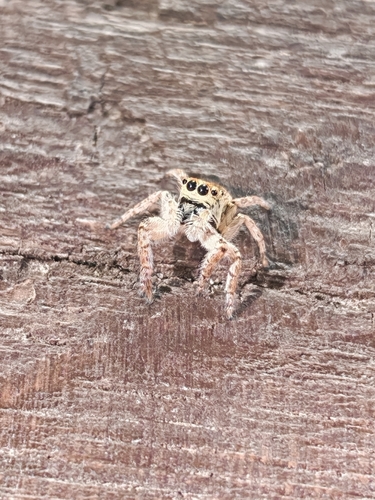
Carrhotus xanthogramma
Carrhotus xanthogramma
Seen 2026-09-20
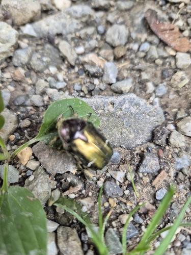
European Rose Chafer
Cetonia aurata
Seen 2026-09-20
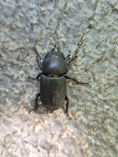
Lesser Stag Beetle
Dorcus parallelipipedus
Seen 2026-09-20
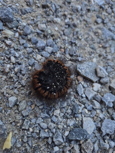
Fox Moth
Macrothylacia rubi
Seen 2026-09-20
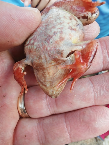
European Common Frog
Rana temporaria
Seen 2026-09-20
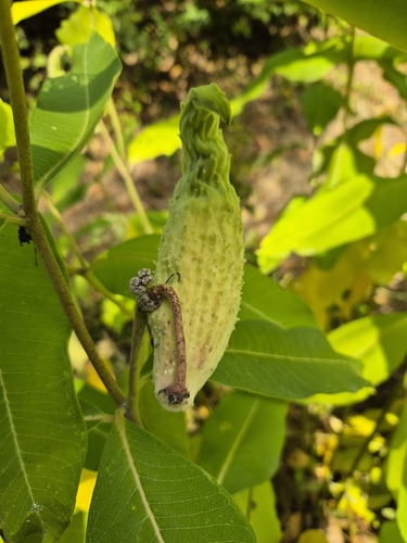
common milkweed
Asclepias syriaca
Seen 2026-09-20
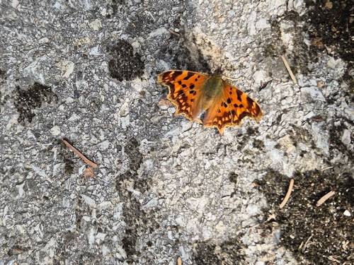
European Comma
Polygonia c-album
Seen 2026-09-20
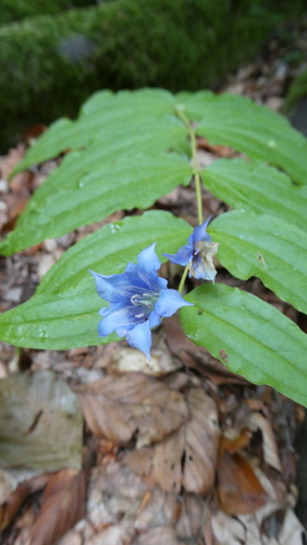
willow gentian
Gentiana asclepiadea
Seen 2026-09-19
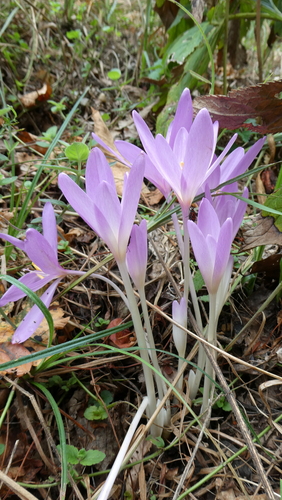
Autumn Crocus
Colchicum autumnale
Seen 2026-09-19
Research-grade observations from iNaturalist (within ~15 mi).
Events
Gallery
Sources
- • Wikipedia
- • Wikidata
- • iNaturalist
- • Open-Meteo / sunrise-sunset.org
- • Wikipedia Pageviews API