Browse / Croatia / Bjelovar-Bilogora / Daruvar
Daruvar
Bjelovar-Bilogoratown

Daruvar
Total population
7,440
Founded
1771
Demographic figures from Croatian Bureau of Statistics. Overview below cites Wikipedia and may reference a different year.
City facts
Facts from Wikidata (CC0).
Overview
Daruvar is a spa town and municipality in Slavonia, northeastern Croatia, with a population of 8,567. The area including the surrounding villages had a population of 11,633 in 2011.
Read more on WikipediaHistory & geography
History
Archaeological findings here of stone axes can be traced to the Stone Age. The history of Daruvar can be traced to the 4th century BC, when the first organized habitation developed near the warm geothermal spas in today's Daruvar valley. Celtic - Pannonian tribes living here and familiar with water treatments benefiting health, were Iassi, (meaning healers), so called by both Greek and Roman writers. As allies of the Roman Empire, the tribes provided support to Emperor Augustus during the siege of Siscia (today's Sisak). In the year 35CE, Iassi were granted local autonomy known as Res Publica Iasorum. The center was Aquae Balissae, meaning very strong springs. In the year 124, during the reign of Hadrian, the area gained additional autonomy as Municipium Iassorum. Stretching between the rivers Sava and Drava, on the roads which ran between Siscia-Mursa, (Sisak- Osijek), Salona–Aquincum, and Sirmium–Poetovio, the town was easy to access. After Hadrian, emperors Marcus Aurelius, Commodus, Septimius Severus, and Constantine I all visited Aquae Balissae's thermal complex, its decorated temple, its forum, and its amphitheatre (although it was smaller than the one in Pula). After the fall of the Western Roman Empire and the destruction of local tribes by Avar Kaghanate in 6th century, this area was resettled by Croats, a Slavic tribe that reached the Balkans in 7th century. In the 11th century the region became part of a mightier entity, that of Križevci, a rapidly growing and politically important city. It became part of the archdiocese of Zagreb mentioned by legislators for the first time in 1334. Since the city was on a busy crossroads, there were four trading points within the valley — Četvrtkovac, Dimičkovine, Podborje, and Toplice (toplice =…
Geography
Daruvar is located 125 km from Zagreb, the national capital, and 130 km from Osijek, the main city of Slavonia to the east. The closest cities are Pakrac, Lipik, Novska, Križevci, Bjelovar, and Virovitica.
Excerpted from the corresponding Wikipedia article (CC BY-SA).
Geography
Coordinates & boundaries from the US Census TIGER/Line shapefiles.
Climate
Air quality
Walkability
Amenities nearby
Wildlife & biodiversity
Earthquake history
Photos
Sights & places nearby
Notable people from here


People born within ~10 km, from Wikidata (CC0). Click any name for their Wikipedia article.
Geography & sun
Elevation, sunrise/sunset and daylight from Open-Meteo. Solar climatology from NASA POWER.
Nearby airports
Public attention
Pageview totals from the Wikimedia Pageviews API.
Books about this place
Recent natural events nearby
Ground air-quality sensors
Recently spotted species
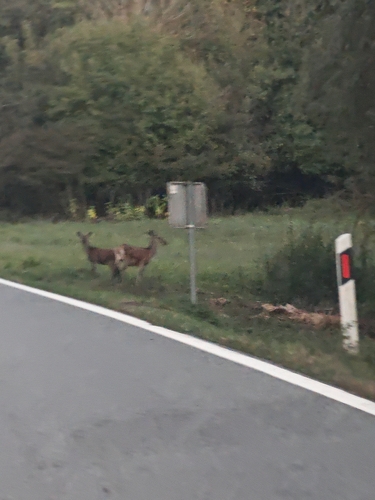
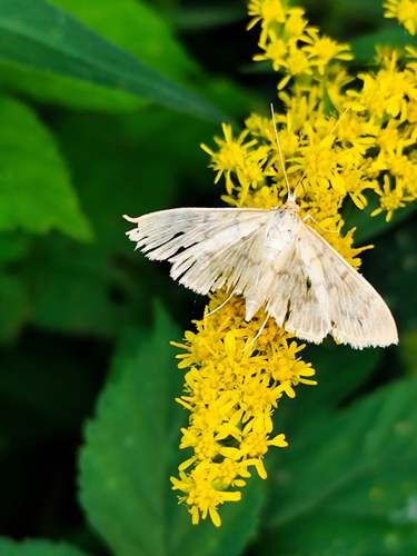
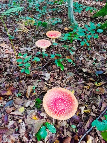
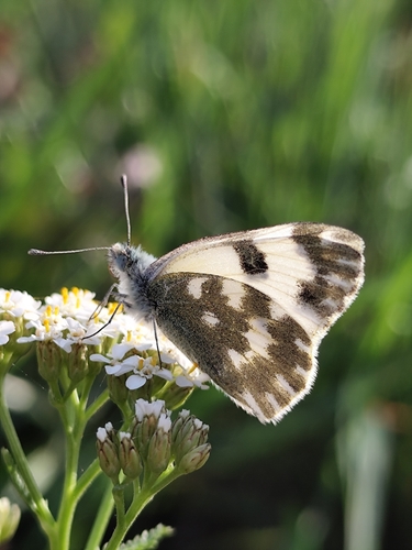
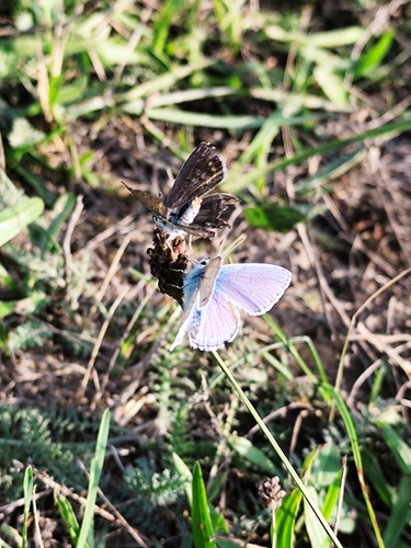
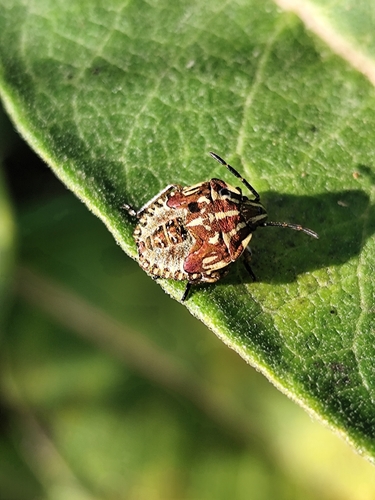

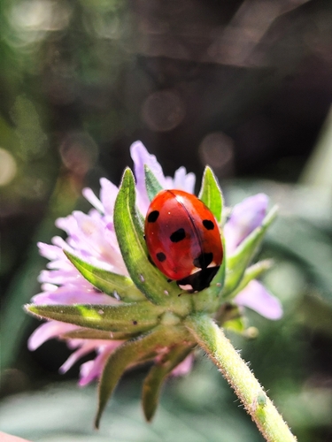
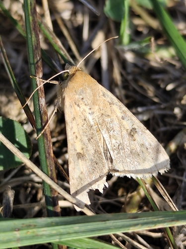
Research-grade observations from iNaturalist (within ~15 mi).
Events
Gallery
Sources
- • Wikipedia
- • Wikidata
- • iNaturalist
- • Open-Meteo / sunrise-sunset.org
- • Wikipedia Pageviews API