Browse / Croatia / Krapina-Zagorje / Desinić
Desinić
Krapina-Zagorjevillage

Desinić
Total population
367
Demographic figures from Croatian Bureau of Statistics. Overview below cites Wikipedia and may reference a different year.
City facts
Facts from Wikidata (CC0).
Overview
Desinić is a village and municipality in Krapina-Zagorje County in Croatia.
Read more on WikipediaHistory & geography
History
Desinić was first mentioned around 1334 in the statutes of the Zagreb Kaptol, under the name “Ecclesia sancti Gheorgii de Zothla” as the seat of the Roman Catholic parish of St. George. In the 15th century, the settlement belonged to the Counts of Celje, until their death. The first written traces of a population census of the Desinić municipality date back to 1823, from the oldest parish book “Status animarum” during the pastorate of Johanes Sepok and the chaplaincy of Josip Strittoff. Education was introduced only in 1843, introduced by the organist Mihalj Šibl from Zlatar, who became the first teacher in Desinić. From 1869, the teaching service was led by Juraj Prejac, a native of St. Margaret near Ptuj, the father of the better-known Jurica Đuro Prejac. The Desinić municipality began building the school in 1864, and it was expanded in 1865, when classes began. Later, the Desinić municipality took over the patronage of the school, which also paid the teacher, who was supervised by the local parish priest. In 1869, a professional teacher, Juraj Prejac, began working at the school. In 1874, the school was transferred to state patronage, or rather patronage of the provincial government. In 1881, a woman was appointed as a tutor for the first time.
Excerpted from the corresponding Wikipedia article (CC BY-SA).
Geography
Coordinates & boundaries from the US Census TIGER/Line shapefiles.
Climate
Air quality
Walkability
Amenities nearby
Wildlife & biodiversity
Earthquake history
Photos
Sights & places nearby
Notable people from here


People born within ~10 km, from Wikidata (CC0). Click any name for their Wikipedia article.
Nearby places in Krapina-Zagorje
- Osredek Desinićki0.5 mi away · pop. 40
- Turnišće Desinićko0.7 mi away · pop. 114
- Trnovec Desinićki0.7 mi away · pop. 114
- Ivanić Desinićki1.1 mi away · pop. 439
- Klanječno1.1 mi away · pop. 42
- Ivanić Košnički1.1 mi away · pop. 23
- Hum Košnički1.2 mi away · pop. 75
- Ivanić Miljanski1.3 mi away · pop. 24
- Dubravica Desinićka1.3 mi away · pop. 41
- Desinić Gora1.4 mi away · pop. 123
- Martiša Ves1.5 mi away · pop. 19
- Gornji Jalšovec1.5 mi away · pop. 64
Geography & sun
Elevation, sunrise/sunset and daylight from Open-Meteo. Solar climatology from NASA POWER.
Nearby airports
Public attention
Pageview totals from the Wikimedia Pageviews API.
Books about this place
Recent natural events nearby
Ground air-quality sensors
Recently spotted species
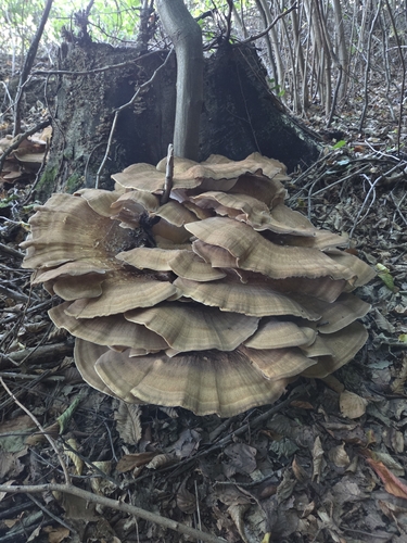
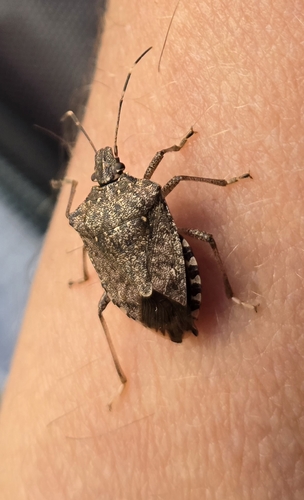
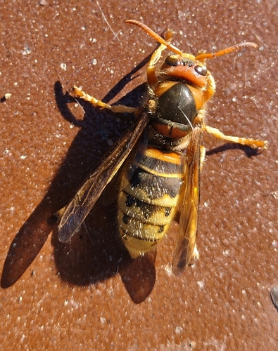
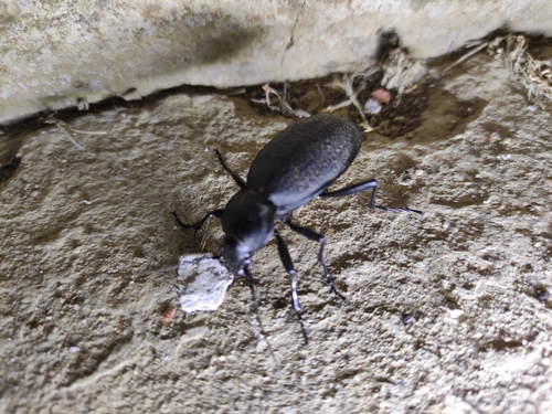
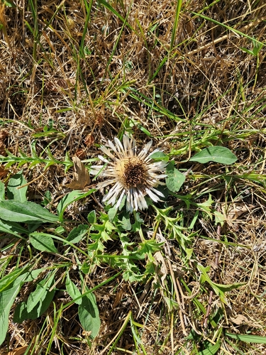
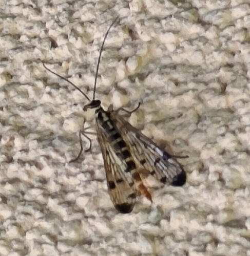
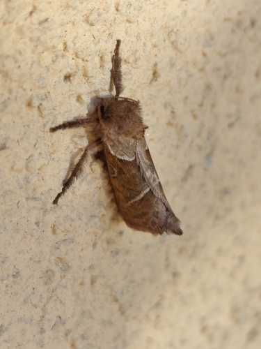
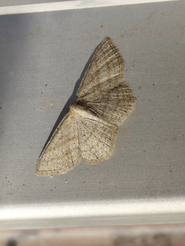
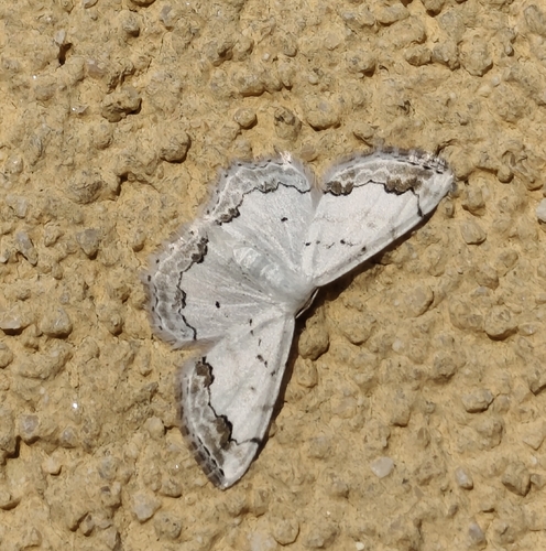
Research-grade observations from iNaturalist (within ~15 mi).
Events
Gallery
Sources
- • Wikipedia
- • Wikidata
- • iNaturalist
- • Open-Meteo / sunrise-sunset.org
- • Wikipedia Pageviews API